Freeport in Nassau County, New York — The American Northeast (Mid-Atlantic)
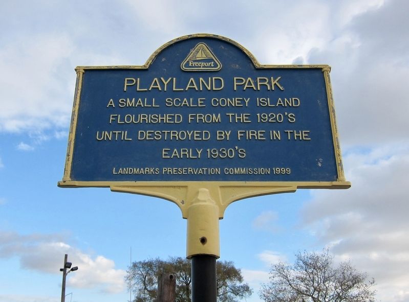
Playland Park
Erected 1999 by Landmarks Preservation Commission.
Topics. This historical marker is listed in this topic list: Parks & Recreational Areas.
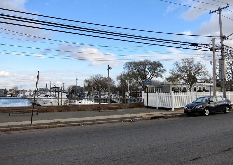
Location. 40° 38.374′ N, 73° 34.908′ W. Marker is in Freeport, New York, in Nassau County. Marker is at the intersection of Guy Lombardo Avenue and Front Street on Guy Lombardo Avenue. Touch for map. Marker is in this post office area: Freeport NY 11520, United States of America. Touch for directions.
Other nearby markers. At least 8 other markers are within walking distance of this marker. Woodcleft Inn (about 400 feet away, measured in a direct line); Two Shipwrecks and the Life Saving Service (approx. 0.3 miles away); Woodcleft Canal (approx. 0.3 miles away); Freeport's Nautical Mile (approx. 0.4 miles away); Al Grover's Spirit of Freeport (approx. 0.4 miles away); Guy Lombardo's House (approx. half a mile away); Freeport Legends (approx. half a mile away); Boat Builders of Freeport (approx. half a mile away). Touch for a list and map of all markers in Freeport.

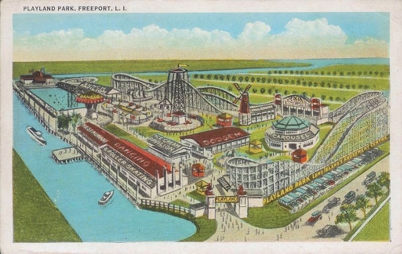
Image courtesy of the Freeport Memorial Library, circa 1925
3. Playland Park, Freeport, L.I.
"Colorized postcard of Playland Park which was located on the east side of South Grove Street (Guy Lombardo Avenue) just south of Front Street. It featured a roller coaster, amusement park rides, a restaurant, an ice cream pavilion, a carousel and a swimming pool. The waterway to the north is the Woodcleft Basin and to the east, Hudson Canal. It was opened in the 20s and burned down in the 30s."
Credits. This page was last revised on November 28, 2018. It was originally submitted on November 28, 2018, by Andrew Ruppenstein of Lamorinda, California. This page has been viewed 591 times since then and 48 times this year. Photos: 1, 2, 3. submitted on November 28, 2018, by Andrew Ruppenstein of Lamorinda, California.

