Near Leola in McPherson County, South Dakota — The American Midwest (Upper Plains)
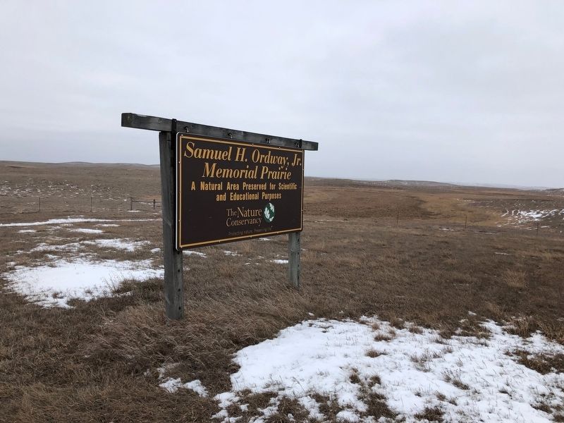
Samuel H. Ordway, Jr. Memorial Prairie
Inscription.
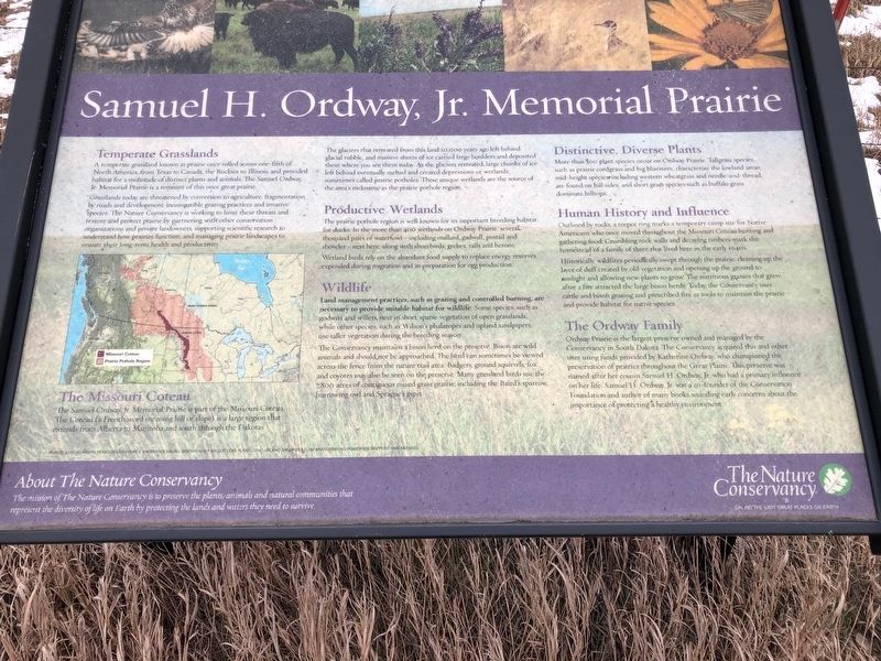
Temperate Grasslands
A temperate grassland known as prairie once rolled across one-fifth of North America from Texas to Canada, the Rockies to Illinois and provided habitat for a multitude of distinct plants and animals. The Samuel Ordway, Jr. Memorial Prairie is a remnant of this once great prairie.
Grasslands today are threatened by conversion to agriculture, fragmentation by roads and development incompatible grazing practices and invasive species. The Nature Conservancy is working to limit these threats and restore and protect prairie by partnering with other conservation organizations and private landowners supporting scientific research to understand how prairies function and managing prairie landscapes to ensure their long-term health and productivity.
The Missouri Coteau
The Samuel Ordway, Jr. Memorial Prairie is part of the Missouri Coteau. The Coteau (a French word meaning hill or slope) is a large region that extends from Alberta to Manitoba and south through the Dakotas.
The glaciers that retreated form this land 10,000 years ago left behind glacial rubble and massive sheets of ice carried large boulders and deposited them where you see them today. As the glaciers retreated large chunks of ice left behind eventually melted and created depressions or wetlands sometimes called prairie potholes. These unique wetlands are the source of the area's nickname as the prairie pothole region.
Productive Wetlands
The prairie pothole region is well known for its important breeding habitat for ducks. In the more than 400 wetlands on Ordway Prairie, several thousand pairs of waterfowl -- including mallard, gadwall, pintail and shoveler -- nest here, along with shorebirds, grebes, rails and herons. Wetland birds rely on the abundant food supply to replace energy reserves expended during migration and in preparation for egg production.
Wildlife
Land management pracitces such as grazing and controlled burning, are necessary to provide suitable habitat for wildlife. Some species, such as godwits and willets nest in short sparse vegetation of open grasslands, while other species such as Wilson's phalaropes and upland sandpipers, use taller vegetation during the breeding season.
The Conservancy maintains a bison herd on the preserve. Bison are wild animals and should not be approached. The heard can sometimes be viewed across the fence from the nature trail area. Badgers, ground squirrels, fox and coyotes may also be seen on the preserve. Many grassland birds use the 7,800 acres of contiguous mixed grass prairie, including the Baird's sparrow, burrowing owl, and Sprague's
pipit.
Distinctive, Diverse Plants
More than 300 plant species occur on Ordway Prairie. Tallgrass species, such as prairie cordgrass and big bluestem, characterize the lowland areas; mid-height species including western wheatgrass and needle - and - thread, are found on hill sides; and short grass species such as buffalo grass dominate hilltops.
Human History and Influence
Outlined by rocks, a teepee ring marks a temporary camp site for Native Americans who once moved throughout the Missouri Coteau hunting and gathering food. Crumbling rock walls and decaying timbers mark the homestead of a family of three that lived here in the early 1940s.
Historically, wildfires periodically swept through the prairie, cleaning up the layer of duff created by old vegetation and opening up the ground to sunlight and allowing new plants to grow. The nutritious grasses that grew after a fire attracted the large bison herds. Today the Conservancy uses cattle and bison grazing and prescribed fire as tools to maintain the prairie and provide habitat for native species.
The Ordway Family
Ordway Preserve is the largest preserve owned and managed by the Conservancy in South Dakota. The Conservancy acquired this and other sites using funds provided by Katherine Ordway, who championed the preservation of prairies
throughout the Great Plains. This preserve was named after her cousin Samuel H. Ordway, Jr. who had a primary influence on her life. Samuel H. Ordway, Jr. was a co-founder of the Conservation Foundation and author of many books sounding early concerns about the importance of protecting a healthy environment.
Topics. This historical marker is listed in these topic lists: Animals • Environment • Settlements & Settlers.
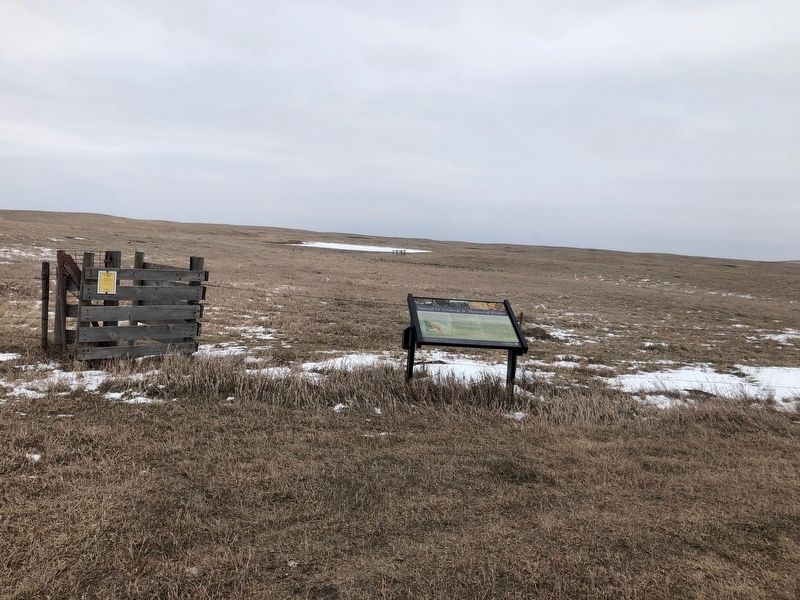
Location. 45° 43.326′ N, 99° 5.854′ W. Marker is near Leola, South Dakota, in McPherson County. Marker is at the intersection of State Highway 10 and 355 Ave on State Highway 10. Touch for map. Marker is in this post office area: Leola SD 57456, United States of America. Touch for directions.
Other nearby markers. At least 3 other markers are within 8 miles of this marker, measured as the crow flies. Prairie Potholes (approx. 4.3 miles away); Dan Ashe Waterfowl Production Area (approx. 4.3 miles away); Leola, South Dakota Veterans Memorial (approx. 7.6 miles away).
Also see . . . Samuel H. Ordway, Jr. Memorial Preserve. The Nature Conservancy website entry (Submitted on November 28, 2018, by Ruth VanSteenwyk of Aberdeen, South Dakota.)
Credits. This page was last revised on August 3, 2022. It was originally submitted on November 28, 2018, by Ruth VanSteenwyk of Aberdeen, South Dakota. This page has been viewed 273 times since then and 22 times this year. Photos: 1, 2, 3. submitted on November 28, 2018, by Ruth VanSteenwyk of Aberdeen, South Dakota. • Andrew Ruppenstein was the editor who published this page.


