Buthrotum in Sarandė District, Vlorė, Albania — Southeastern Europe (Balkan Peninsula)
The channel-side city wall
Muret e qytetit pėrgjatė Kanalit tė Vivarit
Inscription.
The texts on this marker are written in Albanian (shqip) (top left) and English (top right). Only the English text has been transcribed. To read the Albanian (shqip) text, enlarge the marker image by clicking on it.
English:
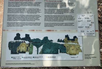
The waning power of the Roman Empire in the West initiated substantial changes at Butrint that are reflected in the construction of a new defensive wall in the second quarter of the 6th century AD. Built somewhat expediently, the new city wall encompassed the lowest-lying parts of the peninsula, protecting an area twice as large as that included by the Hellenistic defences.
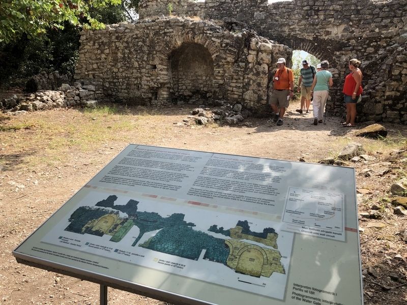
New wall sections along the Vivari Channel waterfront, incorporated ruinous Roman structures and blocking the view of contemporary buildings such as the Triconch Palace. Access to the Channel was preserved, however, through maintenance of earlier gates, such as the Lake Gate, and the construction of new ones, the best preserved of which is the Water Gate.
Large sections of the channel-side wall can be seen today between the Triconch Palace and the Lake Gate, including much of the Water Gate, date from a period of reconstruction in the late 11th century. Further refurbishment took place in the 13th century, when Butrint and the surrounding region belonged to the Despotate of Epirus. Renewed need for defence at this time saw reinforcement of the wall with new towers and the narrowing of gates.
The remains of the channel-side city wall, once badly overgrown and dilapidated have been conserved by local masons during the 2007-11. Clearance of invasive woodland has allowed a new set of visitor trails to be established along the entire length of the fortifications.
Erected by Parku Kombėtar Butrint and Albanian American Development Foundation.
Topics. This historical marker is listed in these topic lists: Forts and Castles • Settlements & Settlers.
Location. 39° 44.752′ N, 20° 1.406′ E. Marker is in Buthrotum, Vlorė, in Sarandė District. Marker can be reached from Route SH81, on the left. Touch for map. Marker is in this post office area: Buthrotum, Vlorė 9706, Albania. Touch for directions.
Other nearby markers. At least 8 other markers are within walking distance of this marker. The Baptistery and its mosaic pavements (within shouting distance of this marker); The Great Basilica (within shouting distance of this marker); Roman Town Planning (about 120 meters away, measured in a direct line); The Roman Forum (about 210 meters away); The Expansion of Butrint (about 240 meters away); The Theatre (approx. 0.3 kilometers away); The Sanctuary of Asclepius (approx. 0.3 kilometers away); The Lion Gate (approx. 0.3 kilometers away). Touch for a list and map of all markers in Buthrotum.
More about this marker. The marker is located in Butrint National Park, just north of the ferry on route SH81.
Credits. This page was last revised on January 25, 2022. It was originally submitted on November 29, 2018, by Barry Swackhamer of Brentwood, California. This page has been viewed 140 times since then and 11 times this year. Photos: 1, 2. submitted on November 29, 2018, by Barry Swackhamer of Brentwood, California.

