Natchez in Adams County, Mississippi — The American South (East South Central)
Intersection of Main and Canal Streets
Natchez Trails
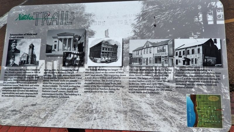
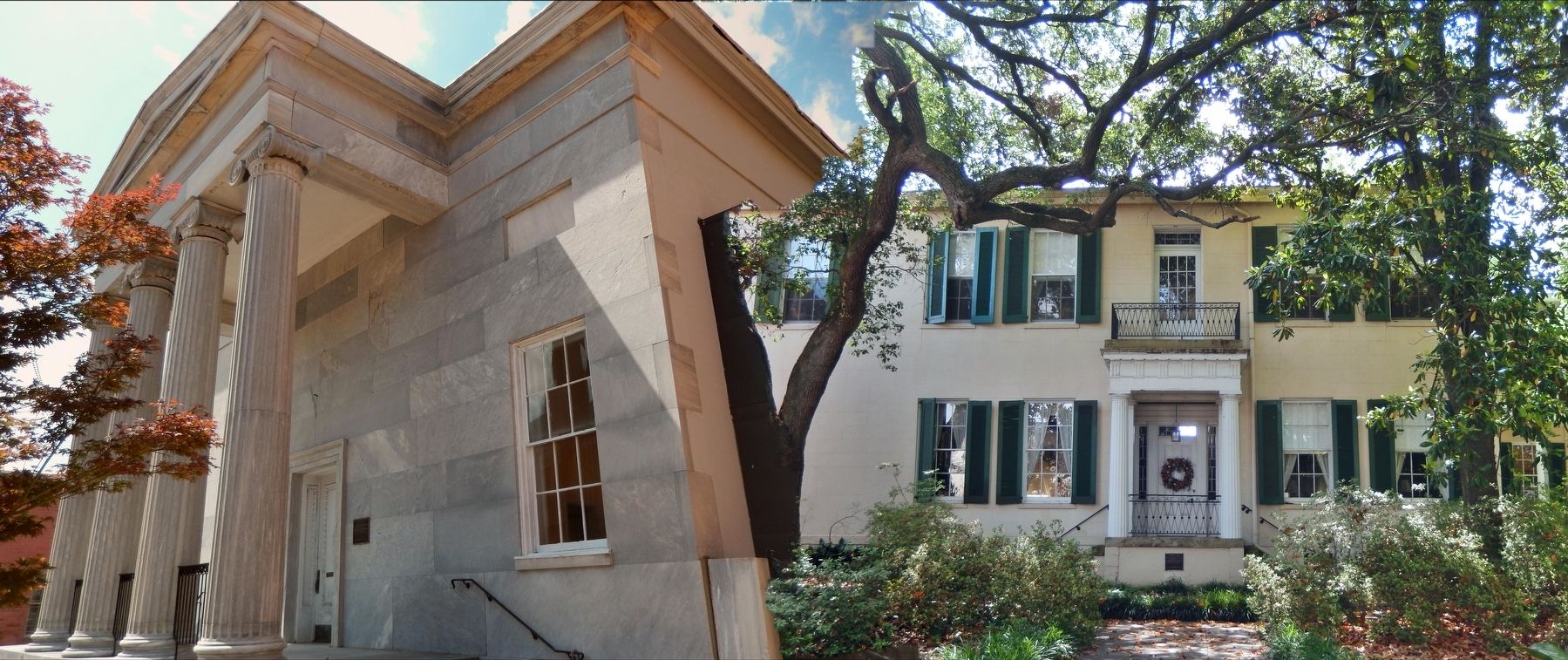
Built in 1838, the Commercial Bank and Banker's House is a single building. The bank portion faces Main Street, and the house faces South Canal Street. The bank vaults are actually under the second-story bedroom of the Banker's House. The bank portion has served the city as a bank, post office, National Guard Armory, church, and entertainment facility. The building is a National Historic Landmark.
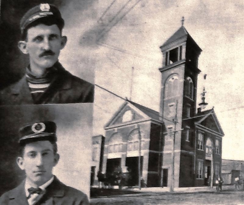
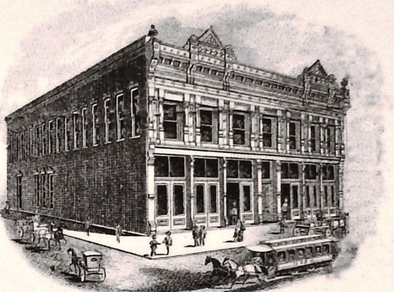
The Gaines Building (no longer standing) stood on the corner of Main and Canal streets. This engraving shows a mule-drawn trolley, used prior to electric trolleys. The building had a decorative pressed-metal front, like many of the fine commercial buildings constructed in Natchez during the cotton boom of the late 1800s.
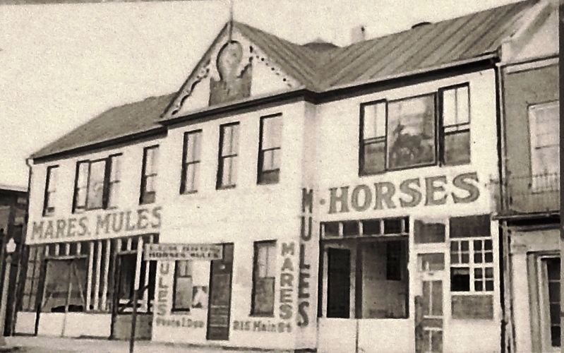
The Lum Brothers sale barn for horses and mules (no longer standing) was on Main Street between Canal and Wall streets. The larger stockyards were located further south on Canal Street. In the late 1800s and early 1900s, livestock often arrived in town by rail and was herded through the city streets to sale barns and stockyards.
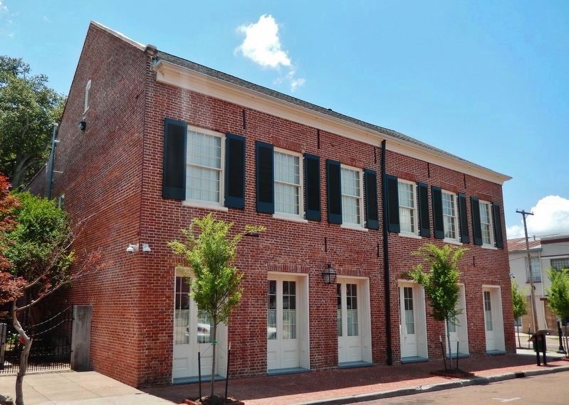
The Postlethwaite Building is a Federal-style commercial building from about 1820. The restored structure has served a wide variety of uses during its lifetime of almost two hundred years, including the dry cleaning business pictured above.
Erected by City of Natchez, Mississippi.
Topics and series. This historical marker is listed in these topic lists: Agriculture • Architecture • Charity & Public Work • Industry & Commerce • Railroads & Streetcars • Roads & Vehicles • Settlements & Settlers. In addition, it is included in the Mississippi - Natchez Trails series list.
Location. 31° 33.687′ N, 91° 24.316′ W. Marker is in Natchez, Mississippi, in Adams County. Marker is at the intersection of Main Street and Canal Street, on the left when traveling north on Main Street. Marker is located in front of the Postlethwaite Building, beside the sidewalk on Main Street, at the southwest corner of the intersection. Touch for map. Marker is at or near this postal address: 200 Main Street, Natchez MS 39120, United States of America. Touch for directions.
Other nearby markers. At least 8 other markers are within walking distance of this marker. Commercial Bank Building (within shouting distance of this marker); Intersection of Main and Wall streets (about 300 feet away, measured in a direct line); Bluff Park - Playground for the City (about 400 feet away); The Natchez Trace (about 400 feet away); Spanish Colonial Natchez (about 400 feet away); Bluff Park and South Broadway Street (about 400 feet away); "The Natchez Burning" (about 400 feet away); Natchez (about 400 feet away). Touch for a list and map of all markers in Natchez.
More about this marker. Marker is a large, rectangular composite plaque, mounted horizontally on waist-high metal posts.
Credits. This page was last revised on February 2, 2020. It was originally submitted on December 4, 2018, by Cosmos Mariner of Cape Canaveral, Florida. This page has been viewed 273 times since then and 44 times this year. Photos: 1, 2, 3, 4, 5, 6. submitted on December 4, 2018, by Cosmos Mariner of Cape Canaveral, Florida. • Andrew Ruppenstein was the editor who published this page.
