Near Velo Grablje in Opcina Hvar, Split-Dalmatia, Croatia — Central and Southeastern Europe
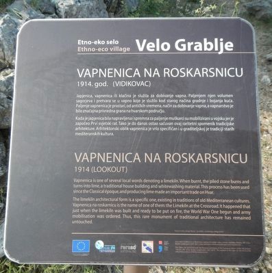
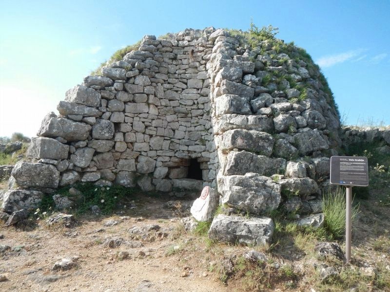
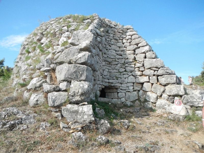
Varnenica Na Roskarsnicu
1914 (Lookout)
Vapnenica is one of several local words denoting a limekiln, When burnt, the piled stone burns and turns into lime, a traditional house building and whitewashing material. This process had been used since the Classical époque, and producing lime made an important trade on Hvar.
The limekiln architectural form is a specific one, existing in traditions of old Mediterranean cultures. Vapnenica na roskarnicu is the name of one both them, the Limekiln at the Crossroad. It happened that just when the limekiln was built and ready to be put on fire the World War One begun and army mobilisation was ordered. Thus, this rare monument of traditional architecture has remained.
Erected by "Adriatic IPS" Cross Border Cooperation project.
Topics. This historical marker is listed in these topic lists: Industry & Commerce • Natural Resources.
Location. 43° 10.043′ N, 16° 32.242′ E. Marker is near Velo Grablje, Splitsko-dalmatinska (Split-Dalmatia), in Opcina Hvar. Marker is at the intersection of Unnamed Road and Unnamed Road, on the left when traveling west on Unnamed Road. Touch for map. Marker is in this post office area: Velo Grablje, Splitsko-dalmatinska 2145043° 10, Croatia. Touch for directions.
Other nearby markers. At least 8 other markers are within 8 kilometers of this marker, measured as the crow flies. City Gate / Porta Badoer (approx. 7.6 kilometers away); St. Mary's Gate (approx. 7.7 kilometers away); City Walls, 15th cent. (approx. 7.7 kilometers away); Jakša Palace, 15th cent. (approx. 7.7 kilometers away); Church of the Holy Spirit, 15th cent. (approx. 7.7 kilometers away); St. Stephen's square / Piazza, 15th cent. (approx. 7.7 kilometers away); Paladini Palace, lower, 15th - 19th cent. (approx. 7.7 kilometers away); Benedictine Convent and Church of St. Anthony the Abbot, 17th - 18th cent. (approx. 7.8 kilometers away).
Credits. This page was last revised on February 10, 2022. It was originally submitted on December 7, 2018, by Barry Swackhamer of Brentwood, California. This page has been viewed 162 times since then and 22 times this year. Photos: 1, 2, 3. submitted on December 7, 2018, by Barry Swackhamer of Brentwood, California.


