Near Toomsboro in Wilkinson County, Georgia — The American South (South Atlantic)
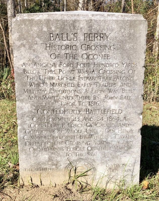
Ball's Ferry
Historic Crossing of the Oconee
Below This Point Was A Crossing Of
The Upper Uchee Indian Trail, Along
Which Marched Early Traders And
Military Expeditions. A Ferry Was Built
And Maintained There By John Ball
Prior To 1816.
Confederate Battlefield
On November 23 And 24, 1864, A
Confederate Force Of Cadets And
Convicts On Parole Under Gen. Henry
C. Wayne, Supported By Wheelers Cavalry,
Defended The Crossing Against A Part
Of Sherman's Forces On Their March
To The Sea.
Erected by Department of Natural Resources Division of State Parks Historic Sites & Monuments.
Topics. This historical marker is listed in these topic lists: War, US Civil • Waterways & Vessels. A significant historical date for this entry is November 23, 1816.
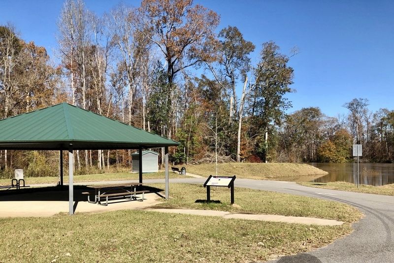
Location. 32° 47.028′ N, 82° 57.528′ W. Marker is near Toomsboro, Georgia, in Wilkinson County. Marker can be reached from Balls Ferry Road, 0.4 miles east of Georgia Route 57. Located in Ball's Ferry Park next to the boat ramp at the Oconee River. Touch for map. Marker is in this post office area: Toomsboro GA 31090, United States of America. Touch for directions.
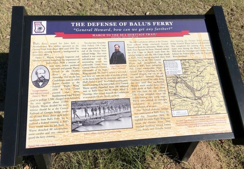
Other nearby markers. At least 8 other markers are within 8 miles of this marker, measured as the crow flies. The Defense of Ball's Ferry (within shouting distance of this marker); a different marker also named Ball's Ferry (approx. 0.3 miles away); a different marker also named Ball's Ferry (approx. ¾ mile away); Jefferson Davis (approx. 1.9 miles away); Sherman's Right Wing (approx. 3.1 miles away); The Defense of the Oconee Bridge (approx. 5 miles away); Toomsboro (approx. 7.4 miles away); Robert Toombs (approx. 7.6 miles away). Touch for a list and map of all markers in Toomsboro.
Credits. This page was last revised on December 9, 2018. It was originally submitted on December 9, 2018, by Mark Hilton of Montgomery, Alabama. This page has been viewed 286 times since then and 26 times this year. Photos: 1, 2, 3. submitted on December 9, 2018, by Mark Hilton of Montgomery, Alabama.


