Twin Bridges in Madison County, Montana — The American West (Mountains)
Road Agent Trail
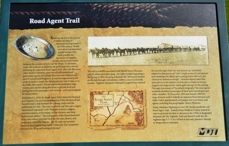
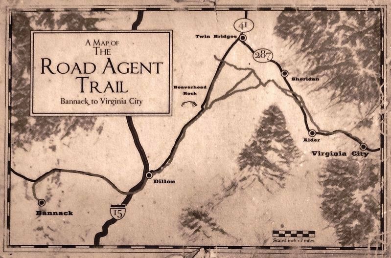
Established in 1863, the Road Agent Trail connected Bannack and Virginia City and was an extension of the Montana Road that provided a link between the mining camps and the settlements in Utah. The road wound its way through a region “destitute of vegetation” with “frequent streams, canyons, mountain passes, rocky ledges, willow thickets, and deep embosomed valleys.” The lush grasses of the Beaverhead and Ruby river valleys provided food for the oxen, horses, and mules that pulled the wagons. The 70-mile trip between Bannack and Virginia City could “ordinarily [be] completed between the rising and setting of the sun.”
The trail is indelibly associated with Sheriff Henry Plummer and his infamous outlaw gang. For eight months beginning in the Spring of 1863, the gang systematically terrorized travelers on the trail through intimidation, robbery, and, occasionally, murder. Vigilante chronicler Nathaniel Langford later claimed the area through which the trail passed was “admirably adapted to their purposes” with “ample means of concealment and advantages for attack upon passing trains with very few chances for defense or escape.” Montana legend states that spies placed at the ranches covertly placed marks on horses, wagons and stagecoaches where gold was ripe for the picking. Through that system of “horseback telegraphy” the road agents routinely plundered passengers of their hard-earned gold and other valuables. In December 1863 and January 1864 the reign of terror ended violently as vigilantes from Bannack and Alder Gulch apprehended and hanged over two dozen road agents, including the gang's leader, Henry Plummer.
Today, Montana Highways 41 and 287 closely parallel the old Road Agent Trail. Indeed, when Madison County looked for ways to promote tourism in the area in the 1920s, it designated Montana 287 the Vigilante Trail and blazed it with the old vigilante sign 3-7-77 as a tribute to the early pioneers attempt to bring order to Montana.
Erected by Montana Department of Transportation.
Topics. This historical marker is listed in these topic lists: Industry & Commerce • Law Enforcement • Roads & Vehicles. A significant historical year for this entry is 1863.
Location. 45° 32.706′ N, 112° 20.089′ W. Marker is in Twin Bridges, Montana, in Madison County. Marker can be reached from West 4th Avenue (State Highway 41) 0.1 miles west of Main Street (State Highway 287), on the right when traveling west. Marker is located in the Twin Bridges Bike Camp Park, at the northeast corner of the parking lot, overlooking the Beaverhead River. Touch for map. Marker is in this post office area: Twin Bridges MT 59754, United States of America. Touch for directions.
Other nearby markers. At least 8 other markers are within walking distance of this marker. Sacajawea, "Pomp" and Seaman (about 600 feet away, measured in a direct line); Jefferson River - Beaverhead River (about 700 feet away); "...a handsome little river..." (about 700 feet away); Which way did they go? (about 700 feet away); Recognizing her people's land (about 700 feet away); Madison County Fairgrounds (about 700 feet away); Square Building (about 700 feet away); Pavilion (about 800 feet away). Touch for a list and map of all markers in Twin Bridges.
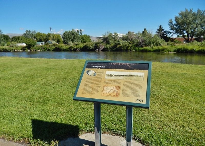
More about this marker. Marker is a large composite plaque, framed and mounted horizontally on waist-high metal posts.
Also see . . . Road agents and the Plummer gang. In a region where valuable gold was plentiful, transportation was insecure and effective law and order was lacking, travelers became easy prey for robbers. By late 1863, thefts and murders along the routes in and around Alder Gulch had become common. In their writings about the vigilantes, Thomas Dimsdale and Nathaniel P. Langford estimated that at least 102 travelers were killed by robbers in the fall of 1863. Many more travelers left the region and were never heard from again. As this became a more frequent occurrence locals began suspecting that these crimes were being carried out by a single group of outlaws, known as "road agents", under the control of Bannack sheriff Henry Plummer. (Submitted on December 11, 2018, by Cosmos Mariner of Cape Canaveral, Florida.)
Credits. This page was last revised on December 13, 2018. It was originally submitted on December 10, 2018, by Cosmos Mariner of Cape Canaveral, Florida. This page has been viewed 523 times since then and 60 times this year. Photos: 1, 2, 3, 4. submitted on December 10, 2018, by Cosmos Mariner of Cape Canaveral, Florida. • Bill Pfingsten was the editor who published this page.


