Glenville in Schenectady County, New York — The American Northeast (Mid-Atlantic)
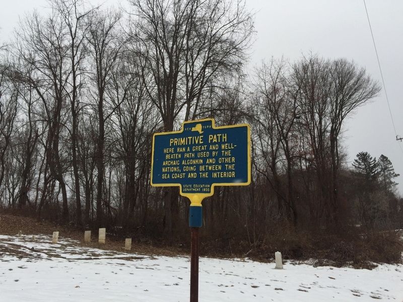
Primitive Path
Here ran a great and well-beaten path by the archaic Algonkin and other nations, going between the sea coast and the interior
Erected 1938 by State Education Department.
Topics. This historical marker is listed in these topic lists: Native Americans • Roads & Vehicles.
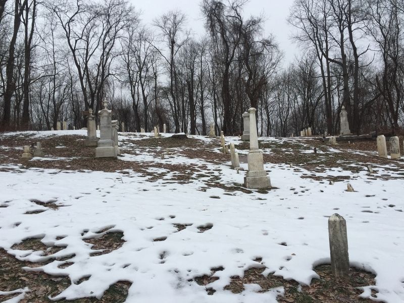
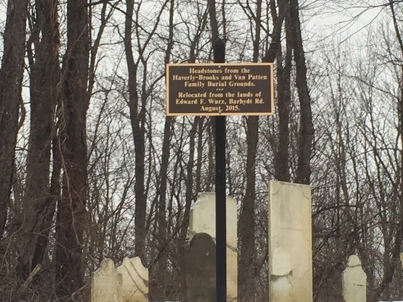
Location. 42° 55.674′ N, 74° 3.505′ W. Marker is in Glenville, New York, in Schenectady County. Marker is on West Glenville Road, on the left when traveling east. Marker is front of a small unnamed cemetery. Touch for map. Marker is in this post office area: Amsterdam NY 12010, United States of America. Touch for directions.
Other nearby markers. At least 8 other markers are within 2 miles of this marker, measured as the crow flies. A Former Lake (about 400 feet away, measured in a direct line); Van Vleck Home (about 400 feet away); Wolf Hollow (approx. 0.9 miles away); a different marker also named Primitive Path (approx. 1.4 miles away); Gonzalez Home (approx. 1.8 miles away); a different marker also named Wolf Hollow (approx. 1.8 miles away); Fall Tree Kill (approx. 2.1 miles away); Sacandaga Road (approx. 2.1 miles away). Touch for a list and map of all markers in Glenville.
Regarding Primitive Path. The Mohawk River forms a natural and easy route to travel east and west through the Adirondack and Appalachian Mts. (The next natural gap in the Appalachians is the Cumberland Gap in Tennessee.) Glacial melting drained south through the Proto-Mohawk forming a river larger than the today’s Amazon River, and that flow carved a corridor for travel to the sea. The highlands rise to 1300 ft here, and follow the river. The higher ground allows easier travel by foot than following the riverbank. Native Americans used this path for trade and war.
Related marker. Click here for another marker that is related to this marker. Wolf Hollow
Also see . . . Landmarks: West of Schenectady, the land along the Mohawk is steeped in lore. Daily Gazette website entry (Submitted on December 13, 2018, by Steve Stoessel of Niskayuna, New York.)
Credits. This page was last revised on December 11, 2021. It was originally submitted on December 13, 2018, by Steve Stoessel of Niskayuna, New York. This page has been viewed 350 times since then and 44 times this year. Photos: 1, 2, 3. submitted on December 13, 2018, by Steve Stoessel of Niskayuna, New York. • Andrew Ruppenstein was the editor who published this page.


