Roby in Fisher County, Texas — The American South (West South Central)
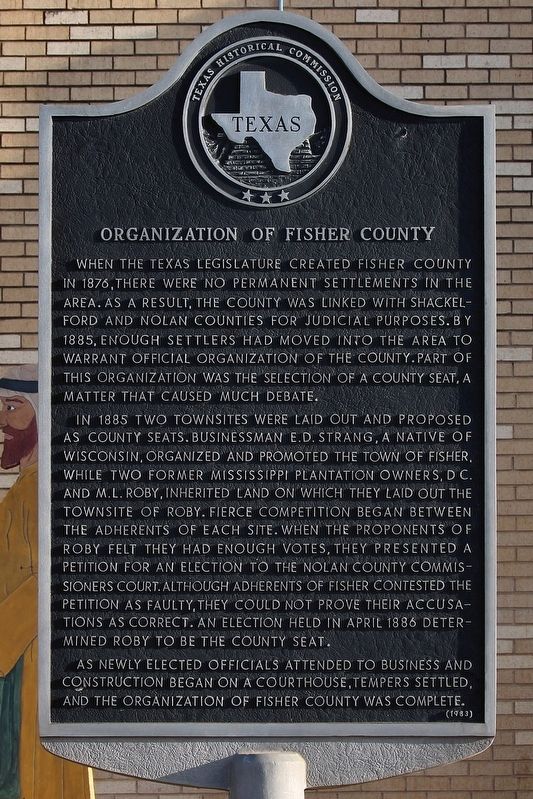
Organization of Fisher County
In 1885 two townsites were laid out and proposed as county seats. Businessman E. D. Strang, a native of Wisconsin, organized and promoted the town of Fisher, while two former Mississippi plantation owners, D.C. and M.L. Roby, inherited land on which they laid out the townsite of Roby. Fierce competition began between the adherents of each site. When the proponents of Roby felt they had enough votes, they presented a petition for election to the Nolan County Commissioners Court. Although adherents of Fisher contested the petition as faulty, they could not prove their accusations as correct. An election held in April 1886 determined Roby to be the county seat.
As newly elected officials attended to business and construction began on a courthouse, tempers settled, and the organization of Fisher County was complete.
Erected 1983 by Texas Historical Commission. (Marker Number 3866.)
Topics. This historical marker is listed in this topic list: Political Subdivisions. A significant historical month for this entry is April 1886.
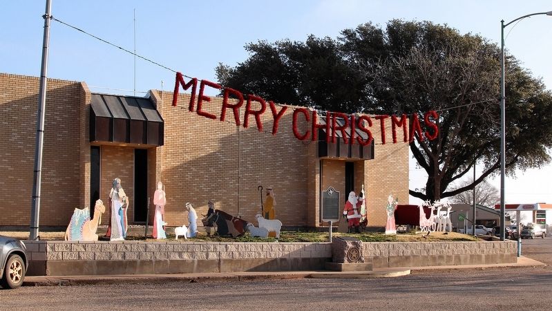
Location. 32° 44.727′ N, 100° 22.647′ W. Marker is in Roby, Texas, in Fisher County. Marker is at the intersection of North Concho Street (State Highway 70) and South 1st Street (U.S. 180), on the right when traveling north on North Concho Street. Touch for map. Marker is at or near this postal address: 112 N Concho St, Roby TX 79543, United States of America. Touch for directions.
Other nearby markers. At least 4 other markers are within 14 miles of this marker, measured as the crow flies. Fisher County (here, next to this marker); Woods Chapel Cemetery (approx. 10.2 miles away); Newman Community and Cemetery (approx. 13 miles away); Site of Hitson Community (approx. 14.1 miles away).
Credits. This page was last revised on December 15, 2018. It was originally submitted on December 15, 2018, by Larry D. Moore of Del Valle, Texas. This page has been viewed 212 times since then and 13 times this year. Photos: 1, 2. submitted on December 15, 2018, by Larry D. Moore of Del Valle, Texas. • Bernard Fisher was the editor who published this page.

