León, Guanajuato, Mexico — The Central Highlands (North America)
Royal Houses and Early Municipal Council
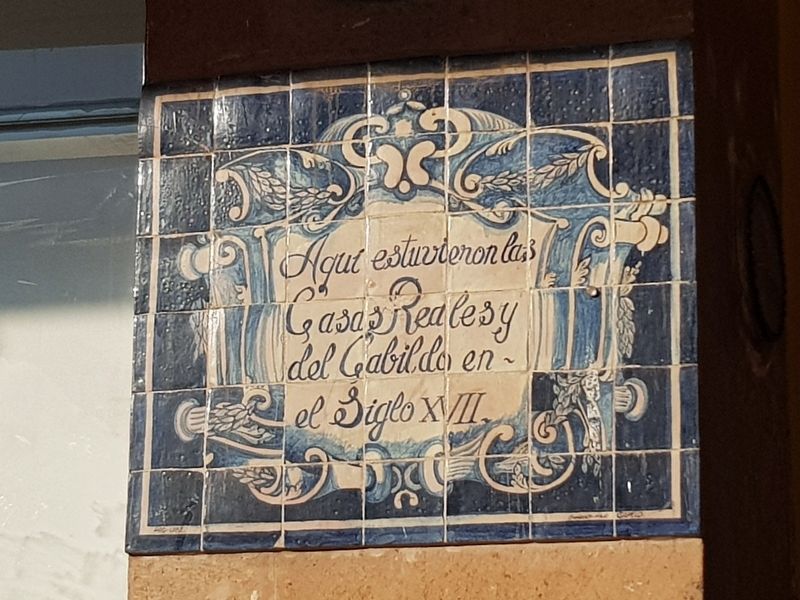
Inscription.
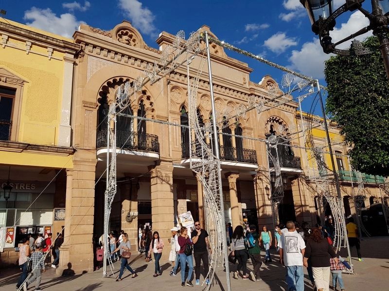
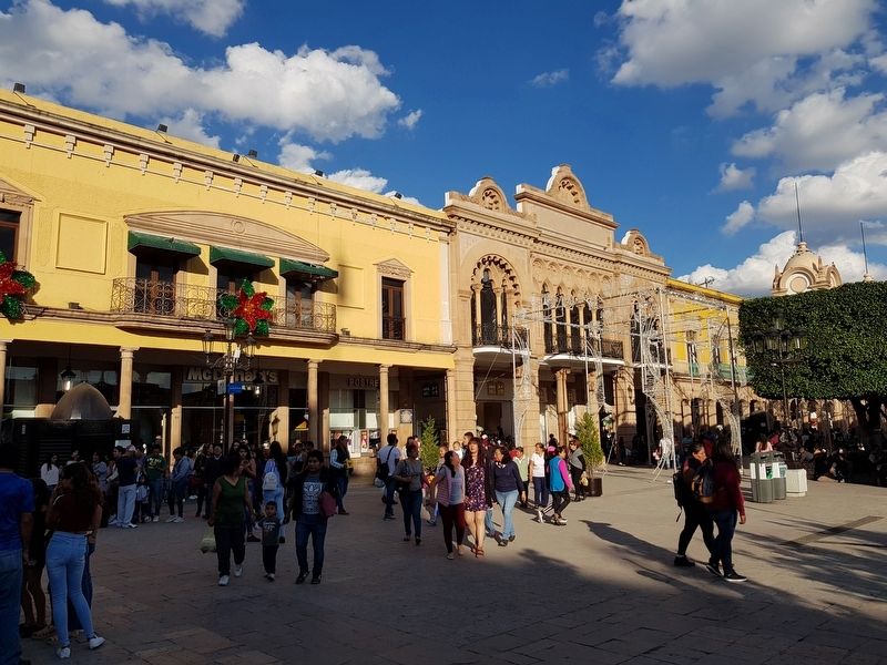
In the 17th century this was the location of the Royal Houses and the early Municipal Council
Topics. This historical marker is listed in these topic lists: Colonial Era • Man-Made Features.
Location. 21° 7.341′ N, 101° 40.955′ W. Marker is in León, Guanajuato. Marker is on Portal Aldama just west of Pino Suárez, on the right when traveling west. Touch for map. Marker is in this post office area: León GTO 37000, Mexico. Touch for directions.
Other nearby markers. At least 8 other markers are within walking distance of this marker. Massacre of January 2, 1946 (within shouting distance of this marker); House of María Joaquina de la Portilla y Torres (about 90 meters away, measured in a direct line); City Hall (about 120 meters away); Metropolitan Cathedral Basilica of Our Blessed Mother of Light (about 150 meters away); Plaza of Martyrs (about 180 meters away); Manuel Doblado Theater (approx. 0.3 kilometers away); House of Cecilio Louis Long (approx. 0.3 kilometers away); Templo Expiatorio (approx. 0.8 kilometers away). Touch for a list and map of all markers in León.
Regarding Royal Houses and Early Municipal Council. The "Royal Houses" in the marker text probably refers to a location where money was minted or stored or where other valuables were stockpiled and protected.
Credits. This page was last revised on December 15, 2018. It was originally submitted on December 15, 2018, by J. Makali Bruton of Accra, Ghana. This page has been viewed 116 times since then and 8 times this year. Photos: 1, 2, 3. submitted on December 15, 2018, by J. Makali Bruton of Accra, Ghana.


