Sewall's Point in Martin County, Florida — The American South (South Atlantic)
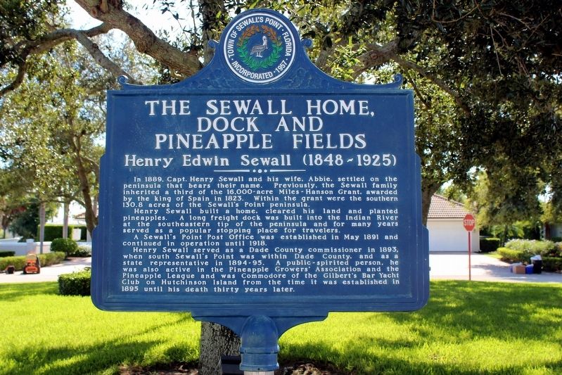
The Sewall Home, Dock and Pineapple Fields
Henry Edwin Sewall (1848-1925)
Inscription.
In 1889, Capt. Henry Seawall and his wife, Abbie, settled on the peninsula that bears their name. Previously, the Sewall family inherited a third of the 16,000-acre Miles-Hanson Grant, awarded by the king of Spain in 1823. Within the grant were the southern 130.8 acres of the Sewall's Point peninsula.
Henry Sewall built a home, cleared his land and planted pineapples. A long freight dock was built into the Indian River at the southeastern tip of the peninsula and for many years served as a popular stopping place for travelers.
A Sewall's Point Post Office was established in May 1891 and continued in operation until 1918.
Henry Sewall served as a Dade County commissioner in 1893, when south Sewall's Point was within Dade County, and as a state representative in 1894-95. A public-spirited person, he was also active in the Pineapple Growers' Association and the Club of Hutchinson island from the time it was established in 1895 until his death thirty years later.
Erected by Town of Sewall's Point.
Topics. This historical marker is listed in these topic lists: Agriculture • Settlements & Settlers • Waterways & Vessels. A significant historical year for this entry is 1889.
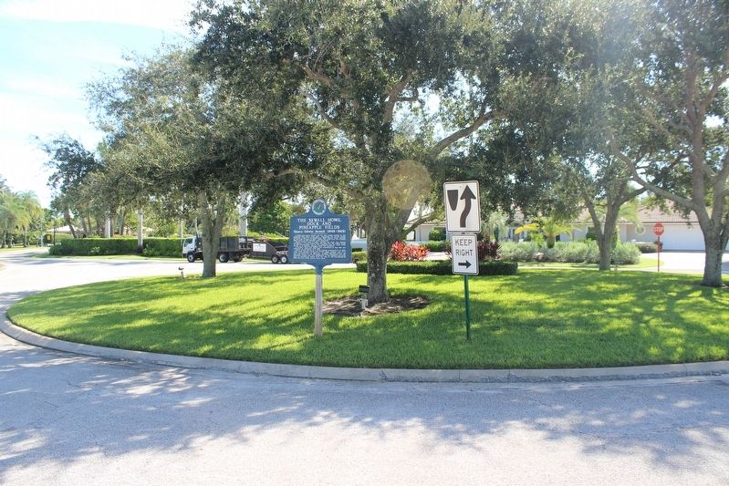
Location. 27° 10.715′ N, 80° 11.302′ W. Marker is in Sewall's Point, Florida, in Martin County. Marker is at the intersection of West High Point Road and East High Point Road, in the median on West High Point Road. Touch for map. Marker is in this post office area: Stuart FL 34996, United States of America. Touch for directions.
Other nearby markers. At least 8 other markers are within 4 miles of this marker, measured as the crow flies. Sewall's Point (approx. 1.8 miles away); Gilbert's Bar Prehistoric Site (approx. 2 miles away); Georges Valentine (approx. 2 miles away); The Bakers of Waveland (approx. 2 miles away); Gilbert's Bar House of Refuge (approx. 2 miles away); Golden Gate Building (approx. 2.1 miles away); Burn Brae Plantation – Krueger House (approx. 3 miles away); A Healing Sanitarium (approx. 3.2 miles away). Touch for a list and map of all markers in Sewall's Point.
Credits. This page was last revised on December 23, 2018. It was originally submitted on December 16, 2018, by Tim Fillmon of Webster, Florida. This page has been viewed 387 times since then and 18 times this year. Photos: 1, 2. submitted on December 16, 2018, by Tim Fillmon of Webster, Florida. • Bernard Fisher was the editor who published this page.

