Financial District in Manhattan in New York County, New York — The American Northeast (Mid-Atlantic)
Andries Reesís Tavern
Birth of a City: Nieuw Amsterdam & Old New York
ANDRIES REESíS TAVERN
Location: † William Street and Wall Street
Dutch Name: † Smit Straet
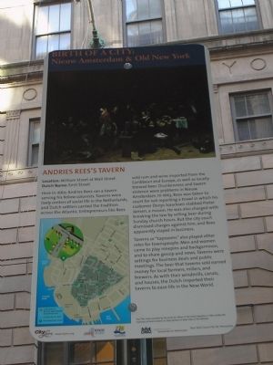
Here, in 1660, Andries Rees ran a tavern serving his fellow colonists. Taverns were lively centers of social life in the Netherlands, and Dutch settlers carried the tradition across the Atlantic. Entrepreneurs like Rees sold rum and wine imported from the Caribbean and Europe, as well as locally-brewed beer. Drunkenness and tavern violence were problems in Nieuw Amsterdam. In 1663, Rees was taken to court for not reporting a brawl in which his customer Denys Isaacksen stabbed Pieter Jansen, a mason. He was also charged with breaking the law by selling beer during Sunday church hours. But the city court dismissed charges against him, and Rees apparently stayed in business.
Taverns or ďtaproomsĒ also played other roles for townspeople. Men and women came to play ninepins and backgammon, and to share gossip and news. Taverns were settings for business deals and public meetings. The beer that taverns sold earned money for local farmers, millers, and brewers. As with their windmills, canals, and houses, the Dutch imported their taverns to ease life in the New World.
Erected 2009 by City Lore & NY 400.
Topics. This historical marker is listed in this topic list: Colonial Era . A significant historical year for this entry is 1660.
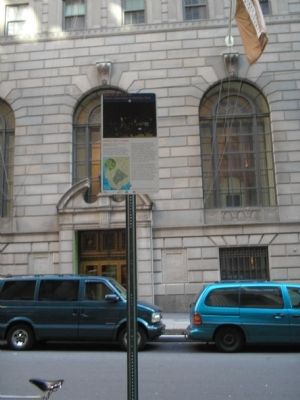
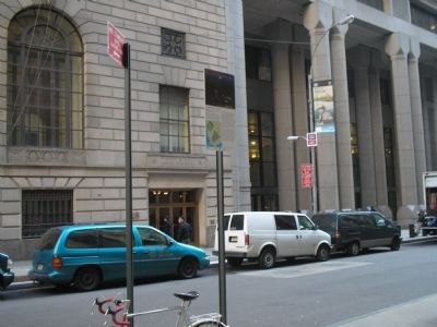
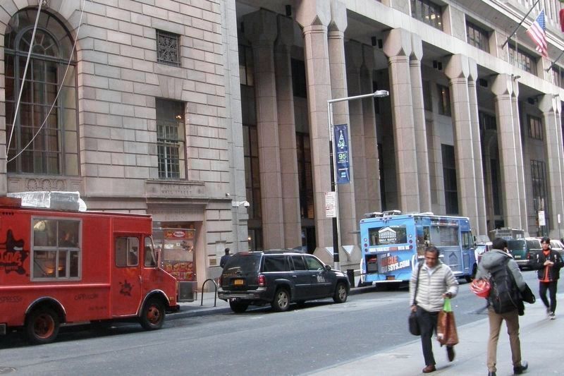
Location. Marker has been permanently removed. It was located near 40° 42.379′ N, 74° 0.568′ W. Marker was in Manhattan, New York, in New York County. It was in the Financial District. Marker was at the intersection of Wall Street and William Street, on the right when traveling east on Wall Street. Marker was located at the southeast corner of the intersection of William & Wall Streets, across the street from the Bank of New York and Trust Company Building. Touch for map. Marker was in this post office area: New York NY 10005, United States of America.
We have been informed that this sign or monument is no longer there and will not be replaced. This page is an archival view of what was.
Other nearby markers. At least 8 other markers are within walking distance of this location. 55 Wall Street (here, next to this marker); 48 Wall Street / 40 Wall Street (a few steps from this marker); Bank of New York & Trust Company Building (a few steps from this marker); 55 Wall Street/20 Exchange Place (within shouting distance of this marker); 40 Wall Street (within shouting distance of this marker); Federal Hall National Monument (about 300 feet away, measured in a direct line); The Mission of Our Lady of Victory Church (about 300 feet away); Federal Hall National Memorial (about 300 feet away). Touch for a list and map of all markers in Manhattan.
More about this marker. A picture of Dutch men enjoying themselves in a tavern appears at the top of the marker, with the caption ďThis scene, painted by the artist Jan Steen in the Dutch Republic in 1660, evokes the liveliness of Dutch taverns as they existed on both sides of the Atlantic.Ē The lower left of the marker contains a map showing the route of the Nieuw Amsterdam Trail in lower Manhattan.
NOTE: By December 2018, all the markers in this series had been removed.
Related markers. Click here for a list of markers that are related to this marker. Learn about New York Cityís colonial Dutch heritage by taking a virtual tour of the Nieuw Amsterdam Trail though lower Manhattan.
Also see . . . City Lore website. City Lore's mission is to foster New York's - and America's - living cultural heritage. (Submitted on November 5, 2009, by Bill Coughlin of Woodland Park, New Jersey.)
Credits. This page was last revised on January 31, 2023. It was originally submitted on November 5, 2009, by Bill Coughlin of Woodland Park, New Jersey. This page has been viewed 2,025 times since then and 89 times this year. Last updated on December 17, 2018, by Larry Gertner of New York, New York. Photos: 1, 2, 3. submitted on November 5, 2009, by Bill Coughlin of Woodland Park, New Jersey. 4. submitted on December 17, 2018, by Larry Gertner of New York, New York. • Andrew Ruppenstein was the editor who published this page.


