Historic District in St. Augustine in St. Johns County, Florida — The American South (South Atlantic)
Guarding the Back Door / Vigilando dos entradas
Castillo de San Marcos National Monument
Inscription.
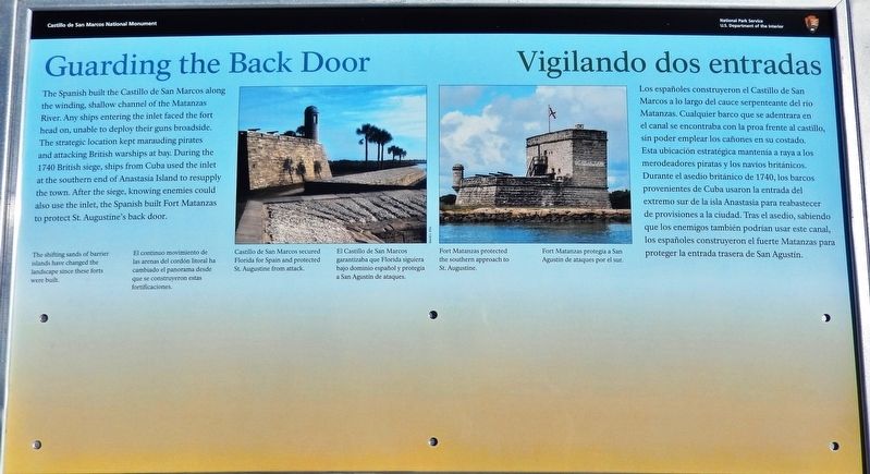
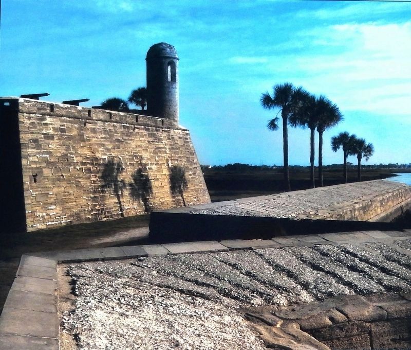
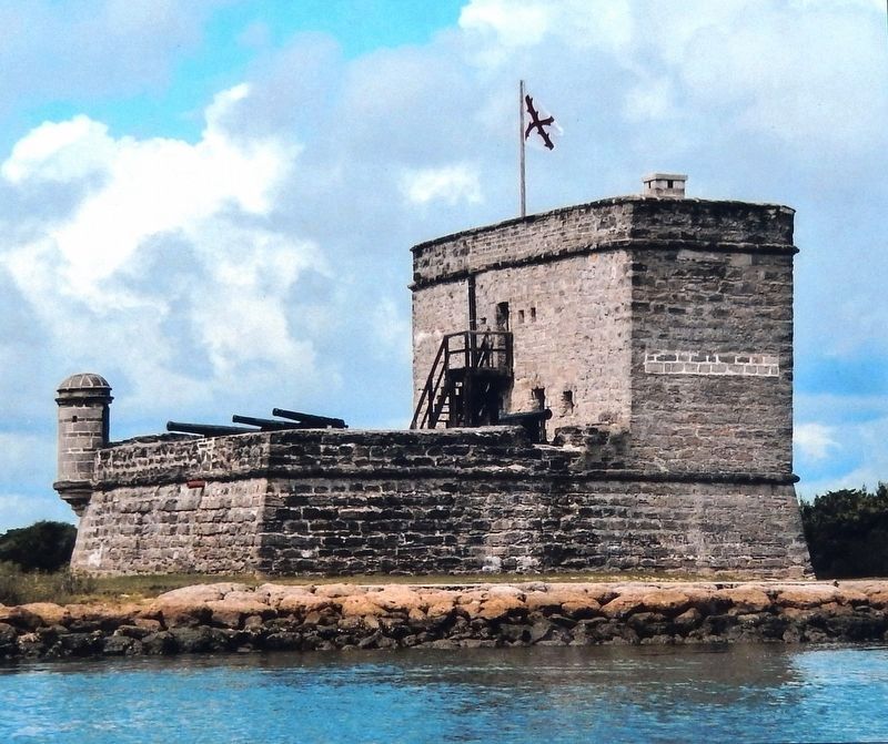
The shifting sands of barrier islands have changed the landscape since these forts were built.
El continuo movimiento de las arenas del cordón litoral ha cambiado el panorama desde que se construyeron estas fortificaciones.
Erected 2018 by National Park Service, U.S. Department of the Interior.
Topics. This historical marker is listed in these topic lists: Colonial Era • Forts and Castles • Hispanic Americans • Waterways & Vessels.
Location. 29° 53.855′ N, 81° 18.666′ W. Marker is in St. Augustine, Florida, in St. Johns County. It is in the Historic District. Marker can be reached from the intersection of South Castillo Drive (State Road A1A) (Business U.S. 1) and Cuna Street, on the right when traveling north. Marker is located on the Castillo de San Marcos National Monument grounds, on top of the fort's San Agustin Bastion, overlooking Matanzas Bay. Touch for map. Marker is at or near this postal address: 1 South Castillo Drive, Saint Augustine FL 32084, United States of America. Touch for directions.
Other nearby markers. At least 8 other markers are within walking distance of this marker. Sentry Box (a few steps from this marker); Fortress Facelift / Nuevo dueño, obras nuevas
(a few steps from this marker); St. Augustine's Bastion (a few steps from this marker); The Cross of Burgundy: Symbol of Spain (a few steps from this marker); Pirate Attacks (a few steps from this marker); Firing Steps (within shouting distance of this marker); Multi-Use Moat / ¿Un foso sin agua? (within shouting distance of this marker); Matanzas Bay (within shouting distance of this marker). Touch for a list and map of all markers in St. Augustine.
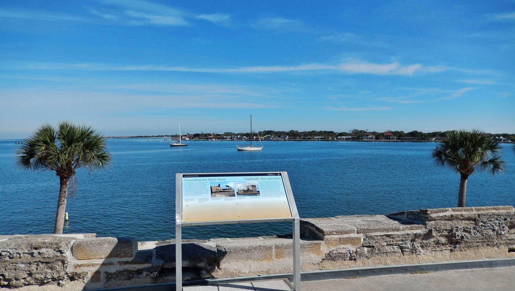
More about this marker. Marker is a large rectangular composite plaque, mounted horizontally on waist-high metal posts.
Related markers. Click here for a list of markers that are related to this marker. Castillo de San Marcos National Monument
Also see . . . The British Threat. By 1740, it was no longer the French, but rather the British who were a threat to the Spanish Florida colony. Whoever controlled Florida controlled the rich shipping lanes coming from the Spanish Caribbean. The British had unsuccessfully laid siege to St. Augustine twice (1702 and 1740). Florida Governor Montiano
knew the British would be back and would most likely attempt to come through the unguarded inlet at Matanzas. So, he immediately ordered a fort to be built to guard these southern approaches - Fort Matanzas. (Submitted on December 15, 2018, by Cosmos Mariner of Cape Canaveral, Florida.)
Credits. This page was last revised on August 20, 2020. It was originally submitted on December 15, 2018, by Cosmos Mariner of Cape Canaveral, Florida. This page has been viewed 186 times since then and 8 times this year. Last updated on December 23, 2018, by Cosmos Mariner of Cape Canaveral, Florida. Photos: 1, 2, 3, 4. submitted on December 15, 2018, by Cosmos Mariner of Cape Canaveral, Florida. • Andrew Ruppenstein was the editor who published this page.


