Near Elliston in Powell County, Montana — The American West (Mountains)
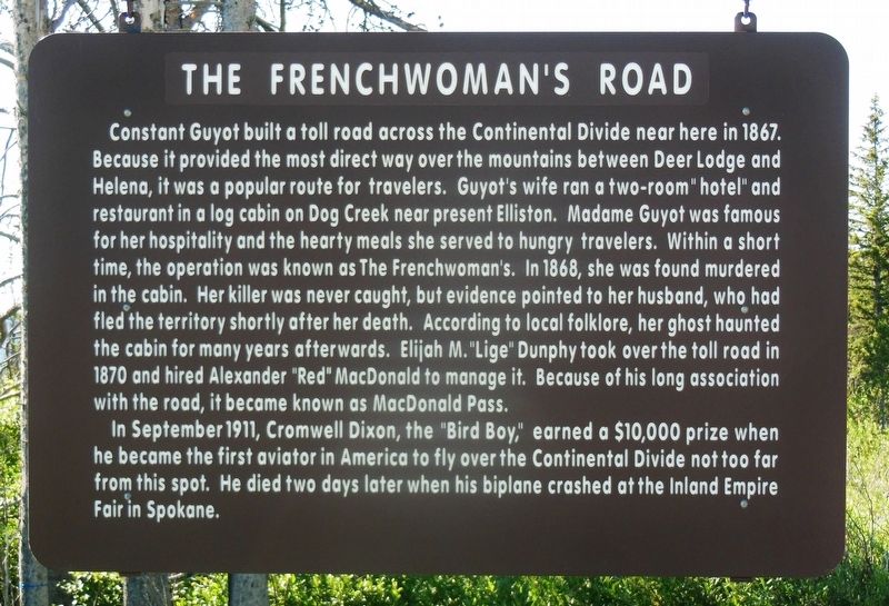
The Frenchwoman's Road
In September 1911, Cromwell Dixon, the “Bird Boy” earned a $10,000 prize when he became the first aviator in America to fly over the Continental Divide not too far from this spot. He died two days later when his biplane crashed at the Inland Empire Fair in Spokane.
Topics. This historical marker is listed in these topic lists: Air & Space • Notable Events • Roads & Vehicles • Women. A significant historical year for this entry is 1867.
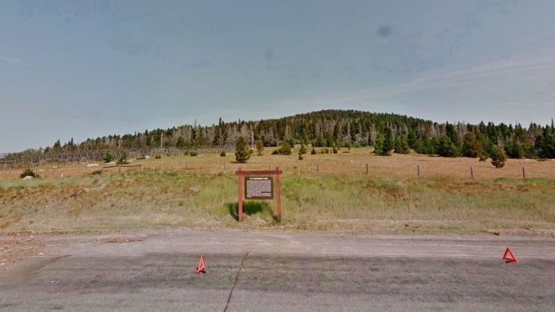
Location. 46° 33.71′ N, 112° 18.522′ W. Marker is near Elliston, Montana, in Powell County. Marker is at the intersection of U.S. 12 at milepost 28 and Vista View, on the left when traveling east on U.S. 12. Marker is located on the north side of the highway, in a pull-off at the summit of MacDonald Pass. Touch for map. Marker is in this post office area: Elliston MT 59728, United States of America. Touch for directions.
Other nearby markers. At least 8 other markers are within 13 miles of this marker, measured as the crow flies. Over a Billion Years of Montana's Geological History (approx. 1.7 miles away); The Mullan Road (approx. 3.7 miles away); Marysville General Store (approx. 12.9 miles away); Marysville, Montana (approx. 12.9 miles away); A Booming Little Place (approx. 12.9 miles away); Marysville Shaffer House (approx. 13 miles away); Marysville School House (approx. 13 miles away); Methodist Episcopal Church of Marysville (approx. 13 miles away). Touch for a list and map of all markers in Elliston.
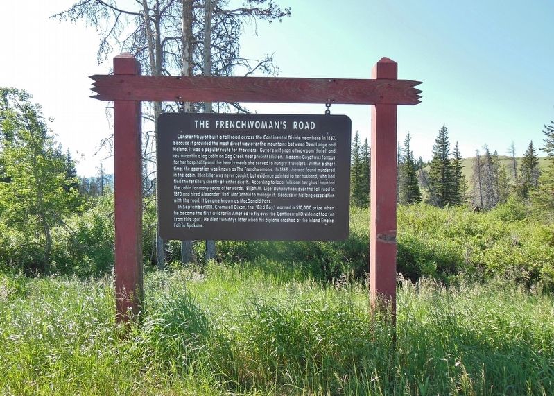
More about this marker. This is a large, painted, wooden "billboard-style" marker, hanging from a heavy wooden frame.
Also see . . .
1. The Haunted Hike In Montana That Will Send You Running For The Hills. Guyot ran a hay ranch along the Little Blackfoot River just east of Elliston. His wife, Madame Guyot, ran a hostel at the west end of the road near Dog Creek. Guests could stay for $2 per night, and for $1, she'd make them a meal. But unfortunately Constant Guyot was a mean drunk, and he was known to mistreat his wife. In August of 1868, Madame Guyot was found murdered and robbed of $6,000 in gold dust in the hostel. Passing travelers discovered her body in a pool of blood and nearly decapitated from a bullet to her skull. Constant Guyot was a prime suspect in his wife's murder for a while, but he was never charged... (Submitted on December 23, 2018, by Cosmos Mariner of Cape Canaveral, Florida.)
2. Murder and mystery remain in Montana’s “Old Frenchwoman” story. In late 1866 the Montana Territorial legislature authorized Mr. Guyot to build a road along the Little Blackfoot river near Elliston (at the time, private toll roads were common, as the new Territory couldn’t afford much road building). The new road would be a more direct way to cross the mountains from Missoula or Deer Lodge, than the older Mullen Trail. The road became known as “The Frenchwoman’s Road” since Madam Guyot was in charge of collecting the tolls and also ran a tavern and lodging house, where travelers could get a spot
on the floor to sleep and a meal for three bucks.
Gold dust was the currency used, and the Frenchwoman was said to squirrel it away, hidden from her husband.
When Montana became a state, toll-road-deals were revoked. The MacDonald Pass road fell into disrepair until the early 20th century when prison labor was used to make necessary repairs. Then, in the 1930s, the road was totally reconstructed and in the 1970s widened to a four-lane affair. (Submitted on December 23, 2018, by Cosmos Mariner of Cape Canaveral, Florida.)
3. Cromwell Dixon and the Conquest of the Continental Divide. Montana’s greatest aviator was not from Montana at all. Indeed, he only spent three days in the Treasure State in late September 1911. But in those three days, 19 year-old Cromwell Dixon made an indelible mark on thousands of people in the state’s capitol city of Helena. His feat foreshadowed the Lindbergh-mania that swept Montana two decades later. Cromwell Dixon, the “Boy Aviator,” was the first man to fly across the Continental Divide. Just one month earlier, Dixon had taken a three-day class at the Curtiss Aviation School in Hammondsport, N.Y., and was granted pilot’s license number 43 by the Aero Clubs of America on Aug. 11, 1911. At that time, he was the youngest aviator to hold a pilot’s license in the United States. (Submitted on December 23, 2018, by Cosmos Mariner of Cape Canaveral, Florida.)
Credits. This page was last revised on December 23, 2018. It was originally submitted on December 23, 2018, by Cosmos Mariner of Cape Canaveral, Florida. This page has been viewed 672 times since then and 71 times this year. Photos: 1, 2, 3. submitted on December 23, 2018, by Cosmos Mariner of Cape Canaveral, Florida. • Andrew Ruppenstein was the editor who published this page.


