Old Town in Alexandria, Virginia — The American South (Mid-Atlantic)
The Earliest Inhabitants
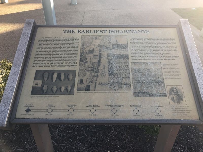
With the advent of a warmer climate and the continued shrinkage of the glaciers during the Archaic period (ca. 7500 B.C.-1000 B.C.), forests of oak trees grew and flourished. As the glaciers melted and caused the sea level to rise, inland marshes formed. By the late Archaic period, the sea-level rise was stabilizing, resulting in an increase in oysters and fish in the Chesapeake and its tributaries. Native Americans developed new tools to exploit the more diverse resources of the changing environment. They ground stone axes for woodworking; made mortars and pestles to grind nuts from the emerging forests; and they used spear throwers to give hunters added killing power. The Late Archaic lifestyle continued into the Early Woodland period (ca. 1000 B.C.-500 B.C.), an era marked by the introduction of pottery manufacturing, suggesting a trend toward more prominent settlements.
Farming became commonplace in the Late Woodland period (ca. A.D. 900-1000), and Native Americans settled in permanent villages (some of them [unreadable] for protection) located on fertile floodplains which could be easily tilled to grow maize, squash and beans. The people still supplemented their crops with wild resources such as game, fish and plants.
When John Smith sailed up the Potomac from the Jamestown [unreadable], he found five American Indian villages near the [unreadable] of Alexandria. These included Nacotchtank, a trading center near the confluence of the Potomac and Anacostia Rivers; [unreadable] in the National Airport area; and Assaomack, [unreadable] south of Alexandria.
Although no evidence of prehistoric villages has been uncovered in Alexandria, archaeologists have discovered campsites and [unreadable] in many locations, particularly along streams like Holmes Run, Taylor Run and Hunting Creek.
Topics. This historical marker is listed in these topic lists: Agriculture • Native Americans.
Location. 38° 47.821′ N, 77° 2.412′ W. Marker has been reported unreadable. Marker is in Alexandria, Virginia. It is in Old Town. Marker can be reached from Wharf Street near Ford's Landing Way, on the right when traveling west. Touch for map. Marker is at or near this postal address: 15 Wharf Street, Alexandria VA 22314, United States of America. Touch for directions.
Other nearby markers. At least 8 other markers are within walking distance of this location. Early Alexandria and Keith's Wharf (a few steps from this marker); Battery Cove Filled: A New Shipyard (a few steps from this marker); The Federal District and Alexandria (a few steps from this marker); The Civil War and Battery Rodgers (a few steps from this marker); The Alexandria Marine Railway (a few steps from this marker); The Alexandria Ford Plant (a few steps from this marker); Guarding the Potomac (about 600 feet away, measured in a direct line); Zion Baptist Church (approx. 0.2 miles away). Touch for a list and map of all markers in Alexandria.
Credits. This page was last revised on January 28, 2023. It was originally submitted on December 23, 2018, by Devry Becker Jones of Washington, District of Columbia. This page has been viewed 178 times since then and 21 times this year. Photo 1. submitted on December 23, 2018, by Devry Becker Jones of Washington, District of Columbia. • Andrew Ruppenstein was the editor who published this page.
