Lockerbie Square in Indianapolis in Marion County, Indiana — The American Midwest (Great Lakes)
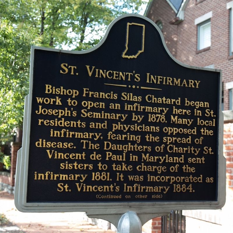
St. Vincentís Infirmary
Bishop Francis Silas Chatard began work to open an infirmary here in St. Josephís Seminary by 1878. Many local residents and physicians opposed the infirmary, fearing the spread of disease. The Daughters of Charity St. Vincent de Paul in Maryland sent sisters to take charge of the infirmary 1881. It was incorporated as St. Vincentís Infirmary 1884.
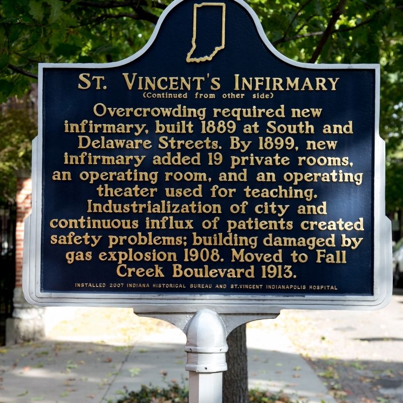
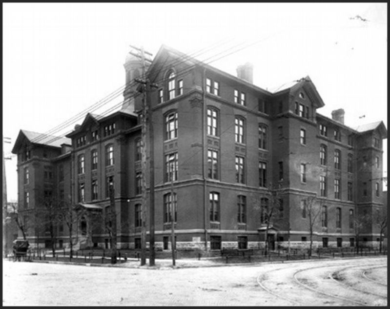
Overcrowding required new infirmary, built 1889 at South and Delaware Streets. By 1899, new infirmary added 19 private rooms, an operating room, and an operating theater used for teaching. Industrialization of city and continuous influx of patients created safety problems; building damaged by gas explosion 1908. Moved to Fall Creek Boulevard 1913.
Erected 2007 by Indiana Historical Bureau and St. Vincent Indianapolis Hospital. (Marker Number 40-2007.3.)
Topics. This historical marker is listed in these topic lists: Charity & Public Work • Churches & Religion • Science & Medicine. A significant historical year for this entry is 1878.
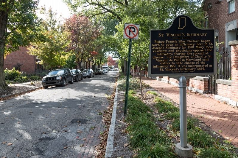
Location. 39° 46.376′ N, 86° 8.864′ W. Marker is in Indianapolis, Indiana, in Marion County. It is in Lockerbie Square. Marker is on East Vermont Street east of East Street, on the left when traveling east. Touch for map. Marker is at or near this postal address: 536 E Vermont St, Indianapolis IN 46202, United States of America. Touch for directions.
Other nearby markers. At least 8 other markers are within walking distance of this marker. Little Sisters of the Poor (within shouting distance of this marker); Lockerbie Square (about 300 feet away, measured in a direct line); James Whitcomb Riley Home (about 300 feet away); Athenaeum (about 700 feet away); The Alexandra (approx. 0.2 miles away); Rep. Roberta West Nicholson (approx. 0.3 miles away); Roberts Park United Methodist Church (approx. 0.3 miles away); Market Street Temple (approx. 0.4 miles away). Touch for a list and map of all markers in Indianapolis.
Also see . . .
1. History of the St. Vincent Hospital Fall Creek Building. Historic Indianapolis website entry (Submitted on November 16, 2023, by Larry Gertner of New York, New York.)
2. St. Vincent's Infirmary. Clio website entry (Submitted on November 16, 2023, by Larry Gertner of New York, New York.)
Credits. This page was last revised on November 16, 2023. It was originally submitted on December 30, 2018, by J. J. Prats of Powell, Ohio. This page has been viewed 132 times since then and 16 times this year. Photos: 1, 2, 3. submitted on December 30, 2018, by J. J. Prats of Powell, Ohio. 4. submitted on November 16, 2023, by Larry Gertner of New York, New York.


