Near Kennesaw in Cobb County, Georgia — The American South (South Atlantic)
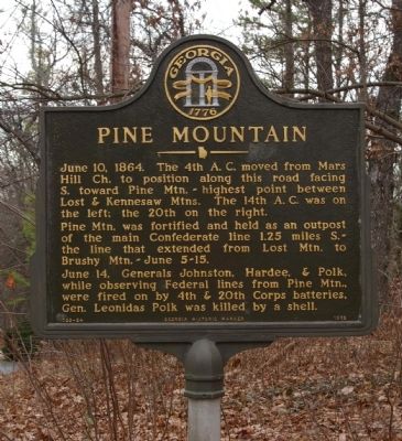
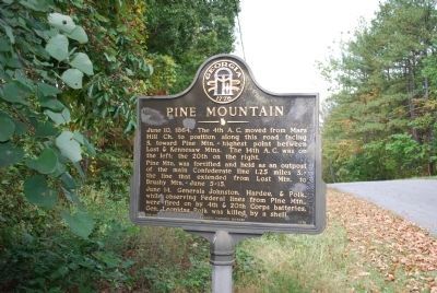
Pine Mountain
June 10, 1864. The 4th A. C. moved from Mars Hill Ch. to position along this road facing S. toward Pine Mtn.-- highest point between Lost & Kennesaw Mtns. The 14th A. C. was on the left; the 20th on the right.
Pine Mtn. was fortified and held as an outpost of the main Confederate line 1.25 miles S. -- the line that extended from Lost Mtn. to Brushy Mtn. -- June 5-15.
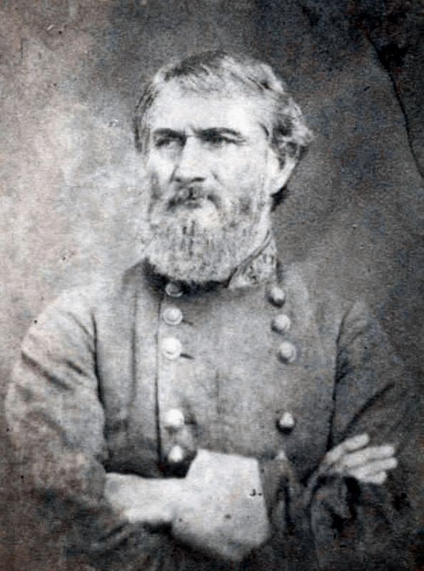
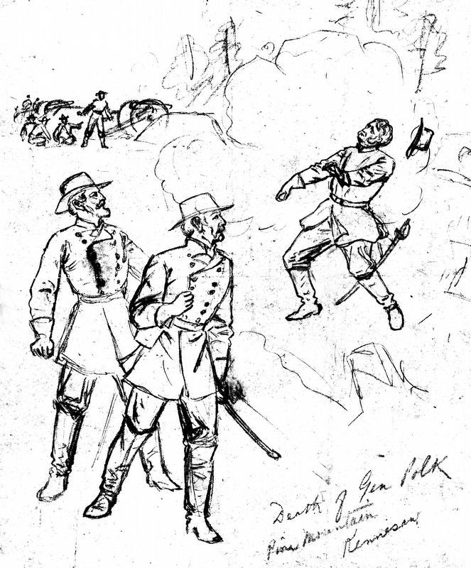
June 14. Generals Johnston, Hardee, & Polk, while observing Federal lines from Pine Mtn., were fired on by 4th & 20th Corps batteries, Gen. Leonidas Polk was killed by a shell.
Erected 1978 by Georgia Department of Natural Resources. (Marker Number 033-24.)
Topics and series. This historical marker is listed in this topic list: War, US Civil. In addition, it is included in the Georgia Historical Society series list. A significant historical date for this entry is June 10, 1777.
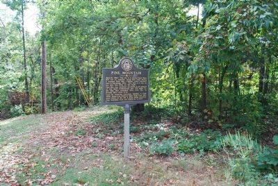
Location. 33° 59.342′ N, 84° 38.714′ W. Marker is near Kennesaw, Georgia, in Cobb County. Marker is on Beaumont Drive NW, 0.3 miles south of Stilesboro Road NW, on the right when traveling south. Marker is at the crest of Pine Mountain, near the dead end of Beaumond Drive. Touch for map. Marker is in this post office area: Kennesaw GA 30152, United States of America. Touch for directions.
Other nearby markers. At least 8 other markers are within 2 miles of this marker, measured as the crow flies. General Leonidas Polk Memorial (within shouting distance of this marker); Lt. General Leonidas Polk Killed at Pine Mountain (approx. half a mile away); Captain Peter Simonson (approx. 0.8 miles away); Battle of Pine Knob (approx. one mile away); The Reversed Trench (approx. 1.1 miles away); Civil War Action Around Latimer's Farm (approx. 1.4 miles away); Site of the Dickson House (approx. 1.6 miles away); Battle of Gilgal Church (approx. 1.7 miles away). Touch for a list and map of all markers in Kennesaw.
Regarding Pine Mountain. The resident of the house (2009) opposite the marker is an avid Civil War historian. If you stop at the marker for any time, he will come out to talk about the Civil War and the death of Gen. Polk at length. He also conducts tours of the area.
A marble shaft was privately erected at the spot where Gen. Polk was killed. The shaft if approximately 100 yards from the marker, in the woods on the crest of Pine Mountain. (Submitted on April 6, 2009, by David Seibert of Sandy Springs, Georgia.)
Also see . . .
1. Leonidas Polk. Wikipedia entry (Submitted on April 6, 2009, by David Seibert of Sandy Springs, Georgia.)
2. The Death of Bishop Polk. American Battlefield Trust entry (Submitted on February 6, 2021, by Larry Gertner of New York, New York.)
Credits. This page was last revised on February 6, 2021. It was originally submitted on April 6, 2009, by David Seibert of Sandy Springs, Georgia. This page has been viewed 2,424 times since then and 63 times this year. Last updated on January 1, 2019, by Allen C. Browne of Silver Spring, Maryland. Photos: 1. submitted on April 6, 2009, by David Seibert of Sandy Springs, Georgia. 2, 3. submitted on July 24, 2015, by Brandon Fletcher of Chattanooga, Tennessee. 4, 5. submitted on January 1, 2019, by Allen C. Browne of Silver Spring, Maryland. • Andrew Ruppenstein was the editor who published this page.
