Dillon in Beaverhead County, Montana — The American West (Mountains)
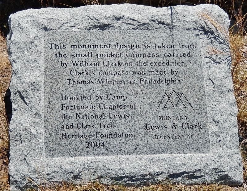
Clark Pocket Compass Monument
2004
Montana Lewis & Clark Bicentennial
Erected 2004 by Camp Fortunate Chapter, National Lewis and Clark Trail Heritage Foundation.
Topics and series. This historical marker and monument is listed in these topic lists: Exploration • Landmarks. In addition, it is included in the Lewis & Clark Expedition series list. A significant historical date for this entry is August 13, 1805.
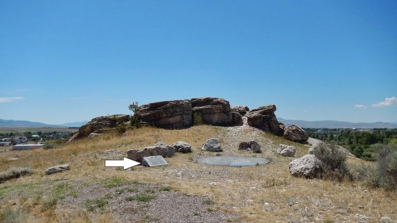
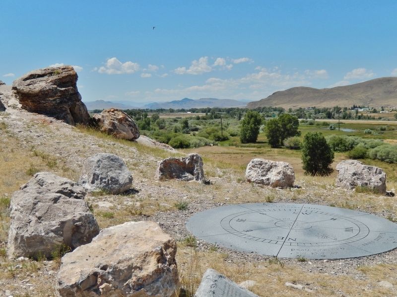
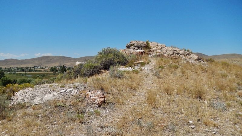
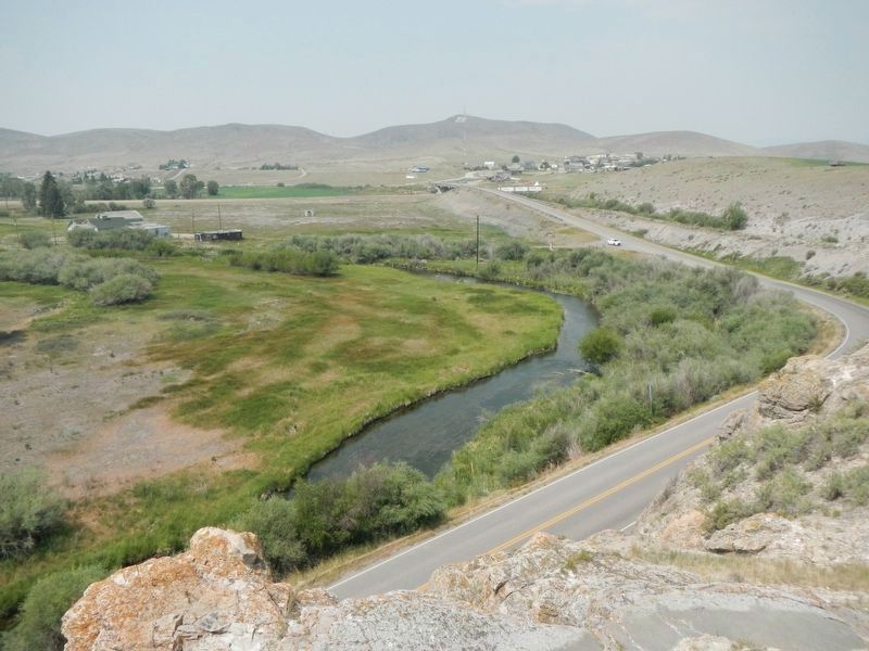
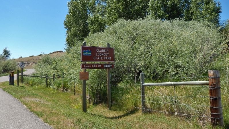
Location. 45° 14.072′ N, 112° 38.006′ W. Marker is in Dillon, Montana, in Beaverhead County. Marker can be reached from Clarks Lookout Road west of State Highway 91. Marker and monument are located in Clark's Lookout State Park, along the walking trail, near the hilltop summit, about 1/10 mile south of the parking lot and trailhead. Touch for map. Marker is at or near this postal address: 25 Clarks Lookout Road, Dillon MT 59725, United States of America. Touch for directions.
Other nearby markers. At least 8 other markers are within 2 miles of this marker, measured as the crow flies. William Clark (about 300 feet away, measured in a direct line); Reliable Landmarks (about 300 feet away); Mapping the Way (about 300 feet away); Distant Features (about 300 feet away); Beaverhead County World War II Memorial (approx. 0.7 miles away); City of Dillon City Hall (approx. 1.1 miles away); Dillon City Hall Historic District (approx. 1.1 miles away); Dillon Implement Company (approx. 1.2 miles away). Touch for a list and map of all markers in Dillon.
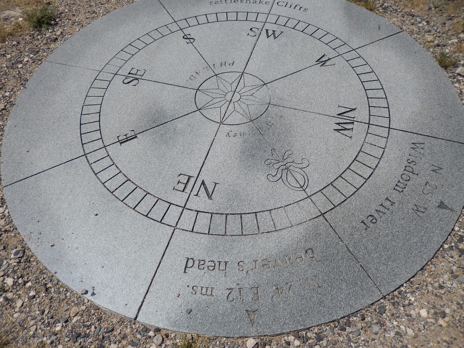
More about this monument. Marker is a short, polished and engraved stone, located beside the subject monument. The monument is a large, engraved, flat circular stone, representing the face of Clark's pocket compass, and embedded in the ground near the hilltop.
Related markers. Click here for a list of markers that are related to this marker. Clark's Lookout State Park
Also see . . . Lewis and Clark Expedition Pocket Compass. (This link presents a detailed photograph of the compass upon which this monument is modeled.) In the spring of 1803, Meriwether Lewis began to purchase scientific and mathematical instruments for a pending expedition into the northwestern region of North America. Among the items he purchased from Philadelphia
instrument maker Thomas Whitney were three pocket compasses for $2.50 each, and this silver-plated pocket compass for $5. It has a mahogany box, a silver-plated brass rim that is graduated to degrees and numbered in quadrants from north and south, a paper dial, two small brass sight vanes, and a leather carrying case.
By the time they returned to St. Louis in September 1806, few of the instruments that were purchased for the trip had survived the journey. The pocket compass, however, was kept by Clark as a memento. He later gave the compass to his friend, Capt. Robert A. McCabe, whose heirs donated it in 1933 to the Smithsonian Institution. (Submitted on January 3, 2019, by Cosmos Mariner of Cape Canaveral, Florida.)
Credits. This page was last revised on August 31, 2021. It was originally submitted on January 3, 2019, by Cosmos Mariner of Cape Canaveral, Florida. This page has been viewed 470 times since then and 18 times this year. Photos: 1, 2, 3, 4, 5. submitted on January 3, 2019, by Cosmos Mariner of Cape Canaveral, Florida. 6. submitted on August 30, 2021, by Barry Swackhamer of Brentwood, California. 7. submitted on January 3, 2019, by Cosmos Mariner of Cape Canaveral, Florida. • Andrew Ruppenstein was the editor who published this page.
