Marker Logo HMdb.org THE HISTORICAL
MARKER DATABASE
“Bite-Size Bits of Local, National, and Global History”
Bowling Green in Warren County, Kentucky — The American South (East South Central)
 

Bowling Green


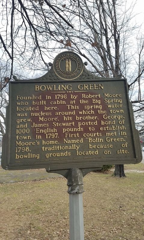
Bowling Green Marker image. Click for full size.
Photographed By Dave, January 7, 2019
1. Bowling Green Marker
Inscription. Founded in 1796 by Robert Moore who built cabin at the Big Spring located here. This spring water was nucleus around which the town grew. Moore, his brother, George, and James Stewart posted bond of 1,000 English pounds to establish town in 1797. First courts met in Moore's home. Named "Bolin Green," 1798, traditionally because of bowling grounds located on site.


Erected 1966 by Kentucky Historical Society, Kentucky Department of Highways. (Marker Number 997.)
 
Topics and series. This historical marker is listed in this topic list: Settlements & Settlers. In addition, it is included in the Kentucky Historical Society series list. A significant historical year for this entry is 1796.
 
Location. 36° 59.542′ N, 86° 26.344′ W. Marker is in Bowling Green, Kentucky, in Warren County. Marker is on Chestnut St, on the right when traveling south. Touch for map. Marker is in this post office area: Bowling Green KY 42101, United States of America. Touch for directions.
 
Other nearby markers. At least 8 other markers are within walking distance of this marker. Quigley-Younglove Building (about 500 feet away, measured in a direct line); Williams Building (about 500 feet away); Barr Building (about 500 feet away); Getty Building (about 600 feet away); Turpin Building (about 600 feet away); Princess Theatre

Paid Advertisement
Click on the ad for more information.
Please report objectionable advertising to the Editor.
Click or scan to see
this page online
(about 700 feet away); The Nahm Building (about 700 feet away); Fountain Square (about 700 feet away). Touch for a list and map of all markers in Bowling Green.
 
 
Credits. This page was last revised on January 7, 2019. It was originally submitted on January 4, 2019, by Dave of Spence, Kentucky. This page has been viewed 288 times since then and 18 times this year. Photo   1. submitted on January 7, 2019, by Dave of Spence, Kentucky. • Andrew Ruppenstein was the editor who published this page.
Share this page.  
Share on Tumblr
m=128205

CeraNet Cloud Computing sponsors the Historical Marker Database.
This website earns income from purchases you make after using our links to Amazon.com. We appreciate your support.
Paid Advertisement
Apr. 16, 2024