Split in Opcina Split, Split-Dalmatia, Croatia — Central and Southeastern Europe
Riva
(Seafront)
Inscription.
The text of this marker appear at the bottom in five languages; Croatian, Italian, English, German and French. Only the English text (right) has been transcribed. To view the text in another language , click on the marker image to enlarge and display them.
(Side A:)
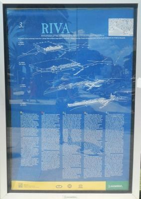
The steep cliffs jutting out above the sea, and bordering the shoreline have formed the small coves in the harbour of Split. One has been formed exactly in front of the Palace, and two other ones to the west and to the east of the Palace, respectively. The site of Diocletian's Palace had been laid out following the original configuration of the terrain, so the facade of the Palace was protected from the south-wind waves by the promontory of the eastearn (sic) cove. In 1986, the stone blocks of the Roman quay were excavated on the site in front of the Palace. (The Roman quay can be even seen on the the cadastral maps of Split dating back in 1831). In the Middle Ages there was a small pier right in front of the southern gate of the Palace, where the ships coming to the Split harbour were moored.
Among the first medieval structures erected at the waterfront, close to the Palace, was the wall running from the southeastern tower of the Palace (so called Archbishop's Tower) towards the seafront, and which was mentioned in the municipal Statute from 1312. The similar wall was erected to the west of it, so the whole space in front of the Palace, i.e. the city itself was protected by walls.
As Split was developing toward the west, there was another gate that was leading to the city harbour, opened by the western tower of the Palace, so called Sea gate or Porta Marina. On the other hand, the Gate of the grotto, the most ancient passage to the seafront dating from Roman times, and located in the middle of the southern facade, was still used during the Middle Ages.
In 15th century, during the Venetian rule, the Venetian garrison was housed in a newly erected Castle (Citadel) on Riva, similar to those that had already been built in all other major cities on the coast. Thus, the Venetian government protected the city and ensured itself against possible riots incited by discontented citizens.
(Side B:)
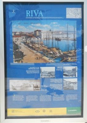
Riva got its present appearance in the early 19th century, in the period of the French rule. Its was extended and gravelled then, and a series of houses, bearing (sic) some characteristic architectural features of that period was erected. Some of them have been well-preserved up to the present time.
Erected by Grad Split, Gradosro Poglavarstvo. (Marker Number 3.)
Topics. This historical marker is listed in these topic lists: Forts and Castles

Photographed By Barry Swackhamer, July 29, 2018
2. Riva Marker, side B
Captions: (top) Eastern part of Riva in the early 20th century; (center) Riva in the late 19th century. On the left, there is a medieval bellower of St. Domnius before it has been reconstructed; in the background, there is the Gripe fortress.; (center-right) East part of Riva at the beginning of XX cent.; (bottom-right) Reconstruction of Diocletian's palace (G. Nieman, 1910); (bottom-right) Riva in the early 20th century, with the stone fountain, which was erected in 1886, to commemorate both the rehabilitation of the Roman aqueduct and the construction of a new public water supply system. The fountain has been pulled down agree the World War 2.
Location. 43° 30.433′ N, 16° 26.385′ E. Marker is in Split, Splitsko-dalmatinska (Split-Dalmatia), in Opcina Split. Marker is on Obala Lazareta close to Poljana kneza Trpimira. Touch for map. Marker is at or near this postal address: Obala Lazareta 1, Split, Splitsko-dalmatinska 21000, Croatia. Touch for directions.
Other nearby markers. At least 8 other markers are within walking distance of this marker. Dioklecijanova Palača (within shouting distance of this marker); The One-time Convent of the Poor Clares of St. Nicholas (within shouting distance of this marker); Lazareti (about 90 meters away, measured in a direct line); Diocletian's Mausoleum / Cathedral of St. Dujam (about 120 meters away); Jupiter Temple (about 120 meters away); Hramovi (about 120 meters away); The Church of St Roche (about 120 meters away); The Grisogono Palace (about 120 meters away). Touch for a list and map of all markers in Split.
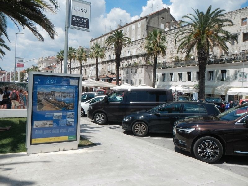
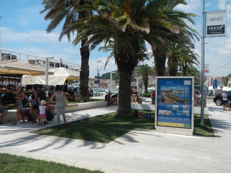
More about this marker. This marker is located in the 'park' between the waterfront and the southern sids of Diocletian's Palace.
Credits. This page was last revised on February 10, 2022. It was originally submitted on January 4, 2019, by Barry Swackhamer of Brentwood, California. This page has been viewed 142 times since then and 6 times this year. Photos: 1, 2, 3, 4. submitted on January 4, 2019, by Barry Swackhamer of Brentwood, California.


