Discover Tunkhannock
A Susquehanna Greenway River Town
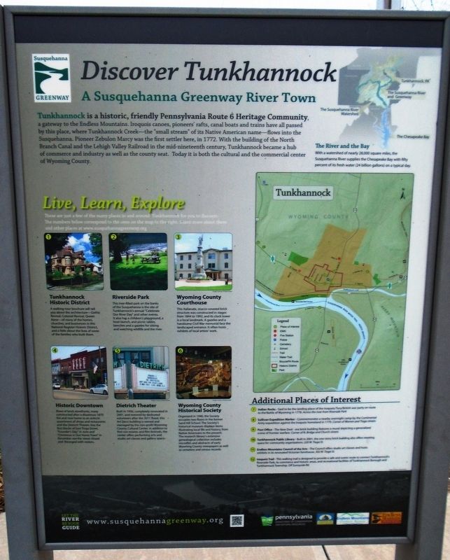
Tunkhannock is a historic, friendly Pennsylvania Route 6 Heritage Community, a gateway to the Endless Mountains. Iroquois canoes, pioneers' rafts, canal boats and trains have all passed by this place, where Tunkhannock Creek—the "small stream" of its Native American name—flows into the Susquehanna. Pioneer Zebulon Marcy was the first settler here, in 1772. With the building of the North Branch Canal and the Lehigh Valley Railroad in the mid-nineteenth century, Tunkhannock became a hub of commerce and industry as well as the county seat. Today it is both the cultural and the commercial center of Wyoming County.
[Historical excerpts from the marker]
Live, Learn, Explore
3. Wyoming County Courthouse
This Italianate, stucco-covered brick structure was constructed in stages from 1844 to 1992, and its clock tower is a local landmark. A gazebo and a handsome Civil War memorial face the landscaped entrance.
5. Dietrich Theater
Built in 1936, completely renovated in 2001, and restored by dedicated volunteers after the 2011 flood, this Art Deco building is owned and managed by the non-profit Wyoming County Cultural Center.
6. Wyoming County Historical Society
Organized in 1946, the Society occupies two floors in the former Sand Hill School.
Additional
Places of Interest
7. Indian Rocks - Said to be the landing place of the Iroquois/Tory/British war party en route to the Battle of Wyoming in 1778.
8. Sullivan Expedition Marker - Commemorates a nearby overnight camp by the Continental Army expedition against the Iroquois homeland in 1779.
9. Post Office - The New Deal-era brick building features a mural depicting a generalized scene of frontier warfare.
[Back]
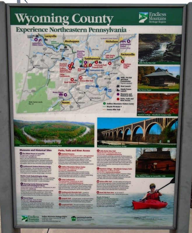
Wyoming County
Experience Northeastern Pennsylvania
A. The Oldest House in Laceyville
Built in 1781, this wood-framed house was constructed overlooking the Susquehanna River. Passengers traveling the North Branch Canal (1856-1872) could stop for refreshments and supplies.
B. Tunkhannock Viaduct/Nicholson Bridge
2,375 ft long viaduct - The concrete deck arch bridge that spans the Tunkhannock Creek in Nicholson can be viewed from Rt. 11 or Rt. 92. Completed in 1915 and still in use, it is the largest poured concrete railroad bridge in the world.
Martins Creek Viaduct/Kingsley Bridge
Similar in design to the Nicholson Bridge - Concrete arch bridge over Martins Creek and Lackawanna Trail on an active rail line, total length: 1,600 ft.
D. Noxen Depot
A restored 1893 Lehigh Valley Railroad Depot, along Rt. 3002 (Stull Road) and Bowman's Creek. The Noxen Depot
[Non-historical information on marker not transcribed]
Erected by Susquehanna Greenway, Endless Mountains Heritage Regioh, and PA DCNR.
Topics and series. This historical marker is listed in these topic lists: Industry & Commerce • Man-Made Features • Settlements & Settlers • War, US Revolutionary. In addition, it is included in the Art Deco series list. A significant historical year for this entry is 1772.
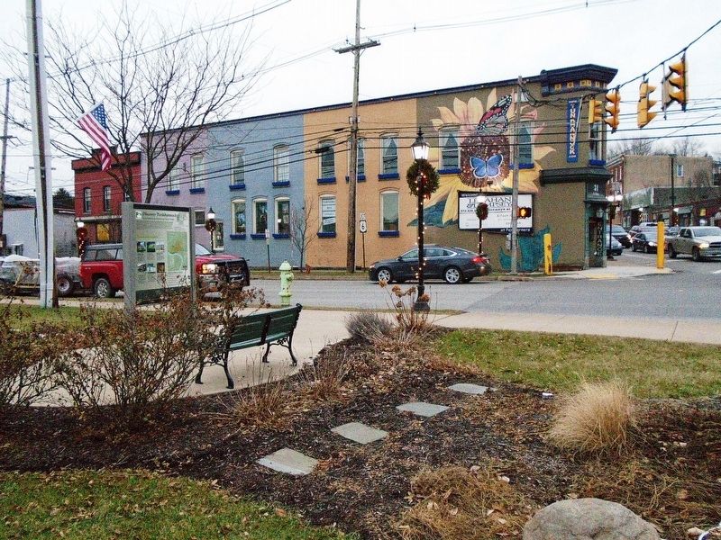
Location. 41° 32.299′ N, 75° 56.805′ W. Marker is in Tunkhannock, Pennsylvania, in Wyoming County. Marker is at the intersection of Bridge Street (Pennsylvania Route 29) and Tioga Street (Business U.S. 6), on the left when traveling south on Bridge Street. Touch for map. Marker is in this post office area: Tunkhannock PA 18657, United States of America. Touch for directions.
Other nearby markers. At least 8 other markers are within walking distance of this marker. Sullivan's March (about 500 feet away, measured in a direct line); The Sullivan Expedition Against the Iroquois Indians, 1779 (about 500 feet away); Tunkhannock (about 600 feet away); Wyoming County (about 700 feet away); Civil War Monument (about 700 feet away); The Freedom Tree (approx.
Also see . . . Wyoming County Historical Society. (Submitted on January 4, 2019, by William Fischer, Jr. of Scranton, Pennsylvania.)
Credits. This page was last revised on January 4, 2019. It was originally submitted on January 4, 2019, by William Fischer, Jr. of Scranton, Pennsylvania. This page has been viewed 313 times since then and 35 times this year. Photos: 1, 2, 3. submitted on January 4, 2019, by William Fischer, Jr. of Scranton, Pennsylvania.


