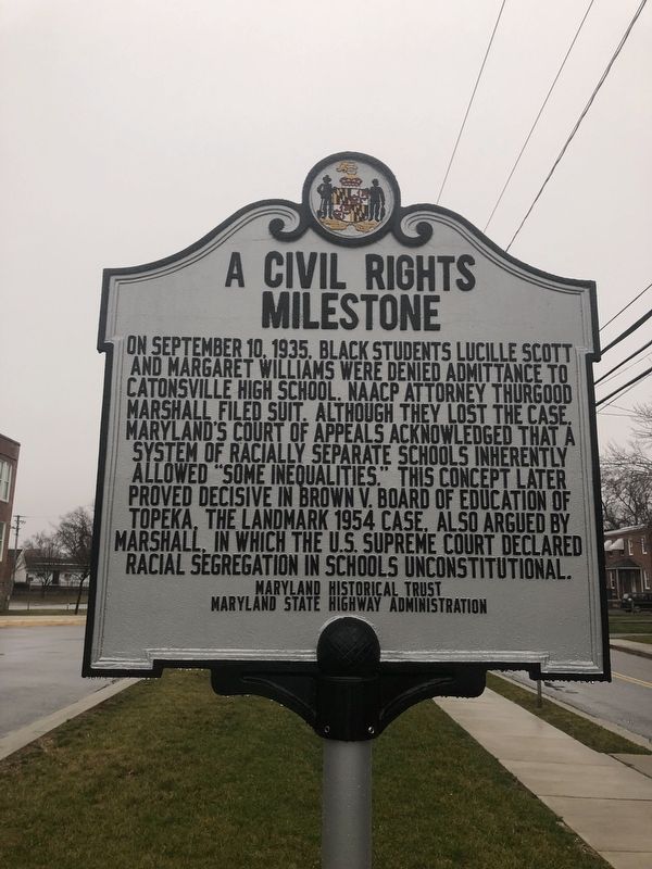
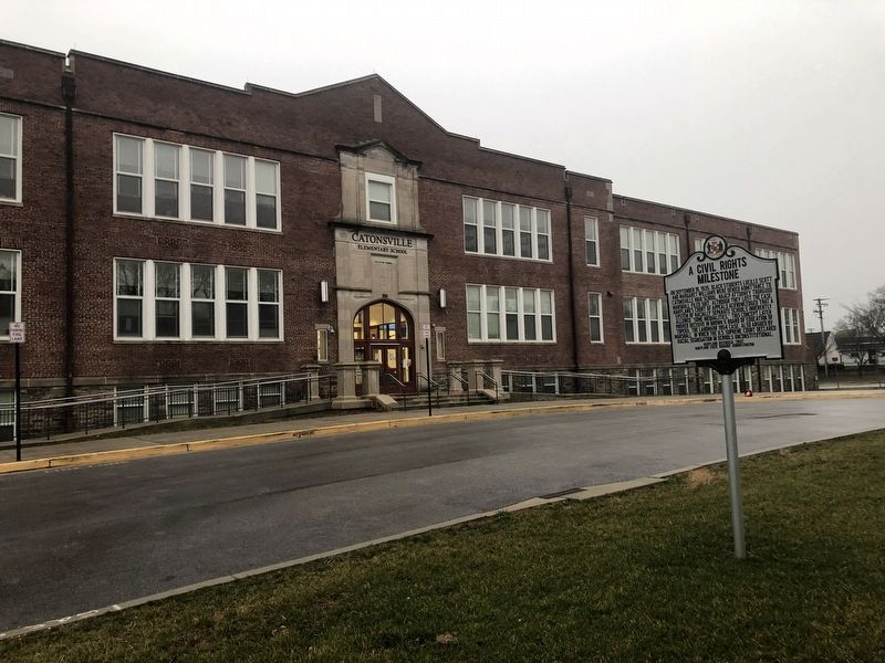
Catonsville in Baltimore County, Maryland — The American Northeast (Mid-Atlantic)
A Civil Rights Milestone
Erected by Maryland Historical Trust, Maryland State Highway Administration.
Topics and series. This historical marker is listed in these topic lists: African Americans • Civil Rights • Education • Women. In addition, it is included in the Maryland Historical Trust series list. A significant historical date for this entry is September 10, 1935.
Location. 39° 16.091′ N, 76° 43.822′ W. Marker is in Catonsville, Maryland, in Baltimore County. Marker is on Bloomsbury Avenue south of Bloomingdale Avenue, on the left when traveling north. Along the grounds of Catonsville Elementary School. Touch for map. Marker is at or near this postal address: 106 Bloomsbury Avenue, Catonsville MD 21228, United States of America. Touch for directions.
Other nearby markers. At least 8 other markers are within walking distance of this marker. Catonsville Veterans Memorial (approx. ¼ mile away); Catonsville (approx. 0.3 miles away); 6-Mile Marker on the National Road (approx. 0.4 miles away); Castle Thunder (approx. half a mile away); Catonsville Nine (approx. half a mile away); Baltimore Regional Trail (approx. 0.6 miles away); Rolling Road (approx. 0.8 miles away); The Streetcar Era in Catonsville (approx. 0.9 miles away). Touch for a list and map of all markers in Catonsville.
Credits. This page was last revised on March 18, 2019. It was originally submitted on January 5, 2019, by Devry Becker Jones of Washington, District of Columbia. This page has been viewed 591 times since then and 103 times this year. Photos: 1, 2. submitted on January 5, 2019, by Devry Becker Jones of Washington, District of Columbia. • Bill Pfingsten was the editor who published this page.

