Southwark in Greater London, England, United Kingdom — Northwestern Europe (the British Isles)
King George’s Field
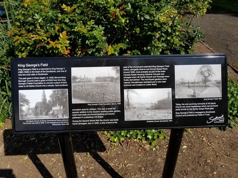
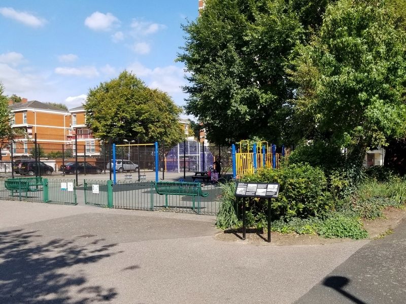
The park grew in three stages. In 1938, Bermondsey Borough Council used a grant of £500 from the King George's Fields Foundation to convert a piece of land close to All Saints Church into a simple, hard-surfaced recreation area for children. This was a small but popular addition to the church's existing public garden, which had seats and formal bedding set around pathways in a pleasing oval shape.
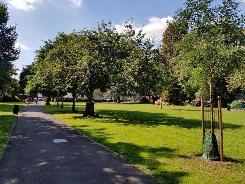
During the Second World War the church was badly I bomb damaged, and, in 1950, a strip of land to the east of the churchyard extended King George's Field further, alongside what is now Surrey Quays Road. Around 1960, most probably as part of the wider Canada Estate Housing Scheme, the park was enlarged when All Saints Church and Vicarage were finally demolished. The churchyard gardens were cleared, the pathways reshaped and a new main entrance was located on Lower Road.
Today, the only surviving remnants of All Saints Church are some headstones which can be found partly buried by the Surrey Quays Road gate. King George's Field is managed by Southwark Council and protected by Fields in Trust.
( photo captions )
- All Saints Church at Surrey Commercial Docks entrance. The church was built in 1840. In the background is the former Rotherhithe Town Hall
- King George's Field Recreation Space, 1938
- All Saints Church demolished, 1961
- King George's Field, 1961
Topics. This historical marker is listed in this topic list: Parks & Recreational Areas. A significant historical year for this entry is 1938.
Location. 51° 29.826′ N, 0° 3.084′ W. Marker is in Southwark, England, in Greater London. Marker is on Surrey Quays Road close to Lower Road, on the left when traveling east. Touch for map. Marker is in this post office area: Southwark, England SE16 2XU, United Kingdom. Touch for directions.
Other nearby markers. At least 8 other markers are within walking distance of this marker. Surrey Docks Fire (within shouting distance of this marker); Dockmanager’s Office (within shouting distance of this marker); Cast Steel Segments (approx. 0.3 kilometers away); St Mary Rotherhithe (approx. half a kilometer away); Sands Film Studio (approx. half a kilometer away); This Tower (approx. half a kilometer away); Sailing of the Mayflower (approx. half a kilometer away); Boiler House (approx. half a kilometer away). Touch for a list and map of all markers in Southwark.
Credits. This page was last revised on January 27, 2022. It was originally submitted on January 7, 2019, by Michael Herrick of Southbury, Connecticut. This page has been viewed 145 times since then and 10 times this year. Photos: 1, 2, 3. submitted on January 7, 2019, by Michael Herrick of Southbury, Connecticut.


