Montgomery in Montgomery County, Texas — The American South (West South Central)
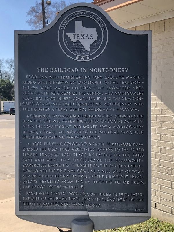
The Railroad in Montgomery
A combined passenger and freight station constructed near this site was often the center of social activity. After the county seat was moved from Montgomery in 1889, a small jail, moved to the railroad yard, held prisoners awaiting transportation.
In 1882 the Gulf, Colorado & Santa Fe Railroad purchased the C&M, thus acquiring access to the prized timber trade of East Texas. By extending the rails east and west, this line became the Beaumont-Somerville Branch of the Santa Fe. The eastern extension joined the original C&M line a mile west of town at a point that became known as "The Junction." Travel delays resulted from trains backing to or from the depot to the main line.
Passenger service was discontinued in 1951. Later, the mile of railroad track from "The Junction" to the depot in Montgomery was removed.
Erected 1984 by Texas Historical Commission. (Marker Number 7896.)
Topics. This historical marker is listed in this topic list: Railroads & Streetcars. A significant historical year for this entry is 1877.
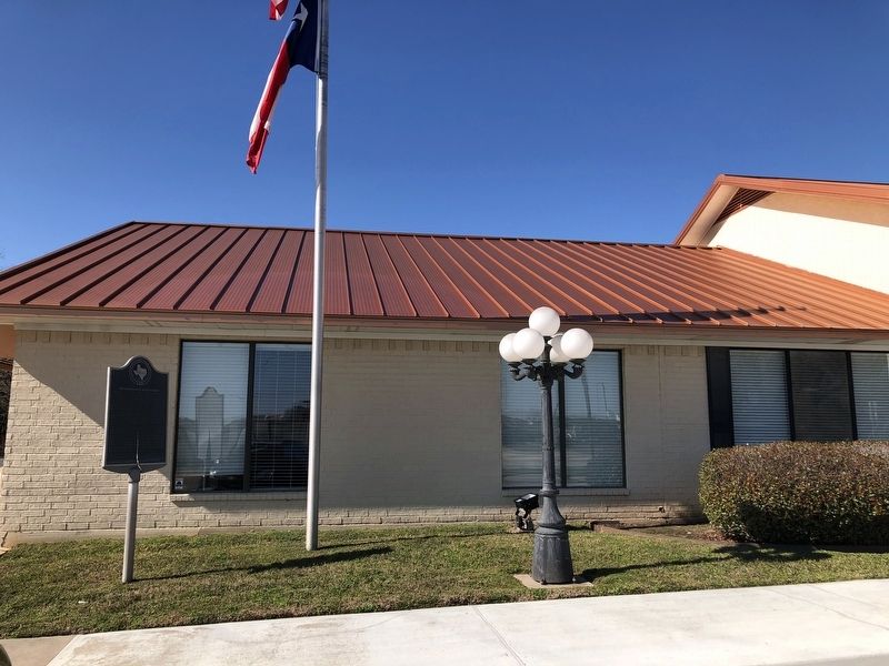
Location. 30° 23.248′ N, 95° 41.812′ W. Marker is in Montgomery, Texas, in Montgomery County. Marker is at the intersection of South Liberty Street (Farm to Market Road 149) and Pond Street, on the right when traveling south on South Liberty Street. Touch for map. Marker is at or near this postal address: 14125 South Liberty Street, Montgomery TX 77316, United States of America. Touch for directions.
Other nearby markers. At least 8 other markers are within walking distance of this marker. John M. Wade (about 400 feet away, measured in a direct line); William S. Taylor (about 400 feet away); Methodist Church Site and Memorial to Pioneer Circuit Riders (about 500 feet away); The Old Methodist Churchyard (about 500 feet away); Reuben Jonathan Palmer (about 600 feet away); Methodist Parsonage (about 600 feet away); Lake Creek Settlement (about 700 feet away); Site of Montgomery United Methodist Church (about 700 feet away). Touch for a list and map of all markers in Montgomery.
Also see . . . Central and Montgomery Railway - The Handbook of Texas Online. Texas State Historical Association (TSHA) (Submitted on January 14, 2019, by Brian Anderson of Humble, Texas.)
Credits. This page was last revised on January 14, 2019. It was originally submitted on January 14, 2019, by Brian Anderson of Humble, Texas. This page has been viewed 333 times since then and 57 times this year. Photos: 1, 2. submitted on January 14, 2019, by Brian Anderson of Humble, Texas.

