Battle in East Sussex, England, United Kingdom — Northwestern Europe (the British Isles)
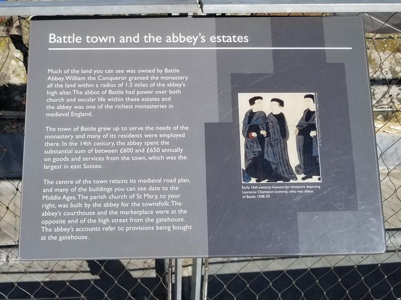
Battle town and the abbey’s estates
— Battle of Hastings, 1066 —
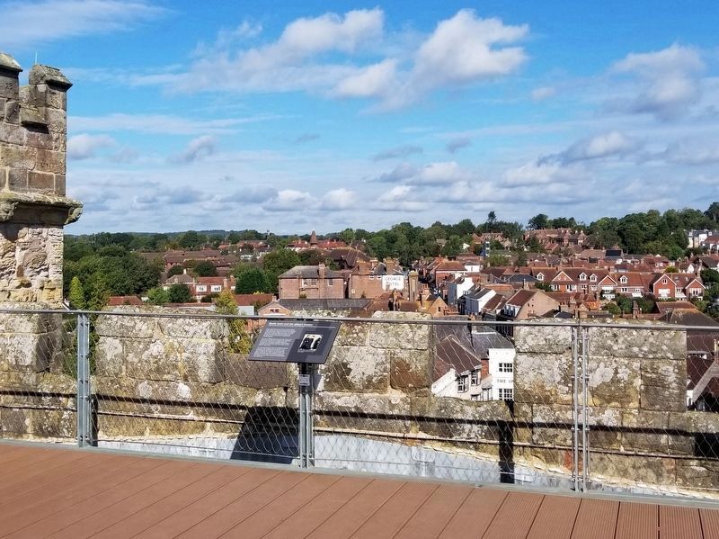
The town of Battle grew up to serve the needs of the monastery and many of its residents were employed there. In the 14th century, the abbey spent the substantial sum of between £600 and £650 annually on goods and services from the town, which was the largest in east Sussex.
The centre of the town retains its medieval road plan, and many of the buildings you can see date to the Middle Ages. The parish church of St Mary, to your right, was built by the abbey for the townsfolk. The abbey's courthouse and the marketplace were at the opposite end of the high street from the gatehouse. The abbey's accounts refer to provisions being bought at the gatehouse.
( photo caption )
- Early 16th-century manuscript miniature depicting Laurence Champion (centre), who was abbot of Battle 1508-29.
Topics. This historical marker is listed in these topic lists: Churches & Religion • Settlements & Settlers.
Location. 50° 54.903′ N, 0° 29.159′ E. Marker is in Battle, England, in East Sussex. Marker can be reached from the intersection of High Street and Park Lane, on the right when traveling south. Located atop the tower of the Battle Abbey Museum at the Battle of Hastings Battlefield. Touch for map. Marker is in this post office area: Battle, England TN33 0AD, United Kingdom. Touch for directions.
Other nearby markers. At least 8 other markers are within walking distance of this marker. On the very spot (a few steps from this marker); Great Gatehouse (a few steps from this marker); The Battle of Hastings and Battle Abbey (a few steps from this marker); William the Conqueror Trail (a few steps from this marker); a different marker also named The Great Gatehouse (within shouting distance of this marker); The Outer Court (within shouting distance of this marker); The Cloister (about 120 meters away, measured in a direct line); The 11th-century Church (about 120 meters away). Touch for a list and map of all markers in Battle.
Also see . . . English Heritage - 1066 Battle of Hastings, Abbey and Battlefield. (Submitted on January 16, 2019, by Michael Herrick of Southbury, Connecticut.)
Credits. This page was last revised on January 27, 2022. It was originally submitted on January 16, 2019, by Michael Herrick of Southbury, Connecticut. This page has been viewed 265 times since then and 36 times this year. Photos: 1, 2. submitted on January 16, 2019, by Michael Herrick of Southbury, Connecticut.

