Near Snyder in Scurry County, Texas — The American South (West South Central)
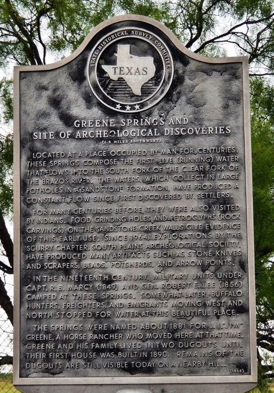
Greene Springs and Site of Archeological Discoveries
(1.5 miles southwest)
Inscription.
Located at a place occupied by man for centuries, these springs compose the first, live (running) water that flows into the South Fork of the Clear Fork of the Brazos River. The waters, which collect in large potholes in a sandstone formation, have produced a constant flow since first discovered by settlers.
For many centuries before, they were also visited by Indians. Food grinding holes and petroglyphs (rock carvings) on the sandstone creek walls give evidence of this early use. Since 1964, explorations by the Scurry Chapter, South Plains Archeological Society, have produced many artifacts such as stone knives and scrapers, beads, potsherds, and arrow points.
In the nineteenth century, military units under Capt. R. B. Marcy (1849) and Gen. Robert E. Lee (1856) camped at these springs. Somewhat later, buffalo hunters, freighters, and emigrants moving west and north stopped for water at this beautiful place.
The springs were named about 1881 for J. I. “Jim” Greene, a horse rancher who moved here at that time. Greene and his family lived in two dugouts until their first house was built in 1890. Remains of the dugouts are still visible today in a nearby hill.
Erected 1967 by State Historical Survey Committee . (Marker Number 2272.)
Topics. This historical marker is listed in these topic lists: Native Americans • Natural Features • Settlements & Settlers.
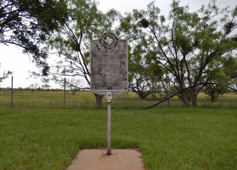
Location. 32° 43.779′ N, 100° 41.97′ W. Marker is near Snyder, Texas, in Scurry County. Marker is on U.S. 180, 10 miles east of U.S. 84, on the left when traveling east. Marker is located in a large pull-out and rest stop on the north side of the highway. Touch for map. Marker is in this post office area: Snyder TX 79549, United States of America. Touch for directions.
Other nearby markers. At least 8 other markers are within 12 miles of this marker, measured as the crow flies. Former Townsite of Wheat (approx. 5.4 miles away); Hobbs Cemetery (approx. 7 miles away); Hobbs Independent School District (approx. 7 miles away); Hermleigh (approx. 7˝ miles away); St. John's Catholic Church (approx. 7.6 miles away); Pyron, Texas (approx. 8.3 miles away); Engine No. 5 (approx. 11.2 miles away); Dodson House (approx. 11.2 miles away). Touch for a list and map of all markers in Snyder.
More about this marker. Marker is somewhat weathered and faded.
Credits. This page was last revised on November 29, 2020. It was originally submitted on January 16, 2019, by Cosmos Mariner of Cape Canaveral, Florida. This page has been viewed 343 times since then and 62 times this year. Photos: 1, 2. submitted on January 16, 2019, by Cosmos Mariner of Cape Canaveral, Florida. • Andrew Ruppenstein was the editor who published this page.

