Battle in East Sussex, England, United Kingdom — Northwestern Europe (the British Isles)
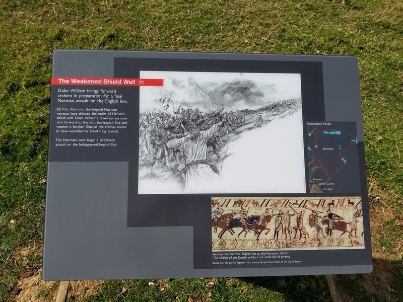
The Weakened Shield Wall
— Battle of Hastings, 1066 —
By late afternoon the feigned Norman retreats have thinned the ranks of Harold's shield-wall. Duke William's bowmen are now sent forward to fire into the English line and weaken it further. One of the arrows seems to have wounded or killed King Harold.
The Normans now begin a last fierce assault on the beleaguered English line.
( photo caption )
- Archers fire into the English line as the Normans attack. The shields of the English soldiers are stuck full of arrows.
Detail from the Bayeux Tapestry - 11th century. By special permission of the City of Bayeux.
Topics. This historical marker is listed in this topic list: Notable Events.
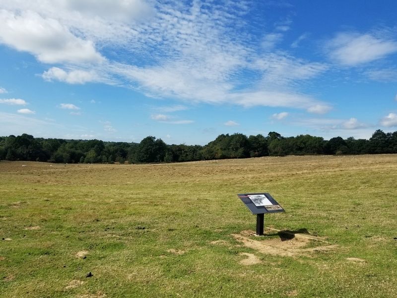
Location. 50° 54.751′ N, 0° 29.332′ E. Marker is in Battle, England, in East Sussex. Marker can be reached from the intersection of High Street and Park Lane, on the right when traveling south. Located along the battlefield path at the Battle of Hastings Battlefield. Touch for map. Marker is in this post office area: Battle, England TN33 0AD, United Kingdom. Touch for directions.
Other nearby markers. At least 8 other markers are within walking distance of this marker. The Abbey and its History (about 120 meters away, measured in a direct line); Battlefield to Vegetable Garden (about 120 meters away); Beehives in the Walled Garden (about 150 meters away); Reredorter (about 150 meters away); The Duchess of Cleveland’s Walled Garden (about 150 meters away); East Range of Cloister (about 150 meters away); The Afternoon Assaults (about 180 meters away); Dairy and Icehouse (about 180 meters away). Touch for a list and map of all markers in Battle.
Also see . . . English Heritage - 1066 Battle of Hastings, Abbey and Battlefield. (Submitted on January 17, 2019, by Michael Herrick of Southbury, Connecticut.)
Credits. This page was last revised on January 27, 2022. It was originally submitted on January 17, 2019, by Michael Herrick of Southbury, Connecticut. This page has been viewed 135 times since then and 11 times this year. Photos: 1, 2. submitted on January 17, 2019, by Michael Herrick of Southbury, Connecticut.

