Downtown in San Antonio in Bexar County, Texas — The American South (West South Central)
Presa Street Crossing
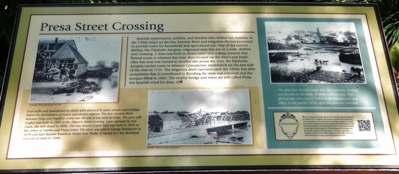
Bronze plaques along the River Walk identify features designed by Robert H.H. Hugman. The plaques replicate the stamp that was imprinted on his architectural drawings. Hugman's initial concept for beautification and commercial development of the San Antonio River was conceived in 1929. Construction began on the River Walk project in 1939 with partial funding from the Works Progress Administration. To learn more about Hugman and the River Walk, please scan this QR code with your smartphone or go to www.HugmanTour.com.
Topics. This historical marker is listed in these topic lists: Notable Places • Settlements & Settlers • Waterways & Vessels.
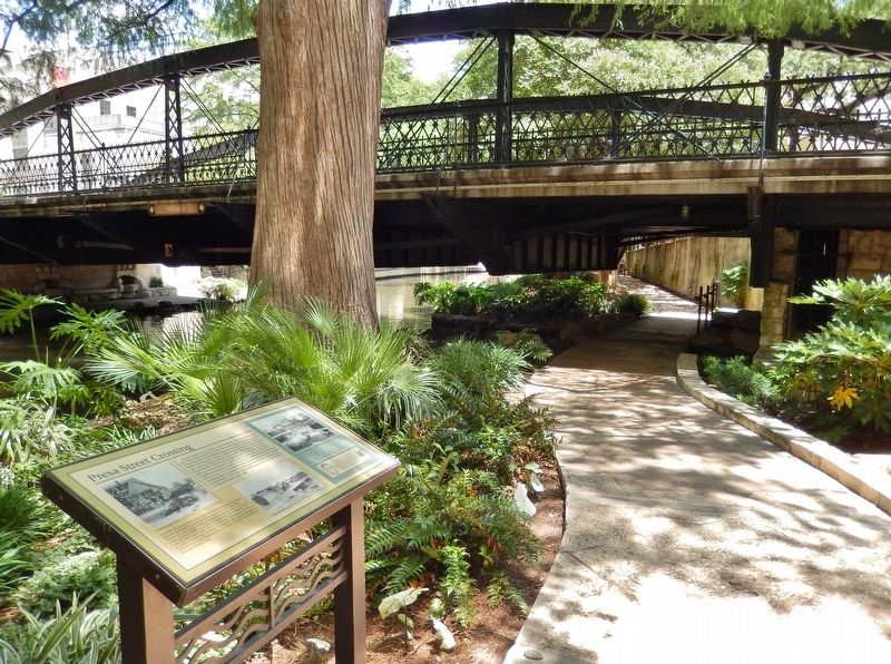
Location. 29° 25.358′ N, 98° 29.388′ W. Marker is in San Antonio, Texas, in Bexar County. It is in Downtown. Marker can be reached from South Presa Street south of West Market Street. Marker is on the San Antonio River Walk, on the south side of the river, just west of the Presa Street bridge. Access to the marker is from the staircase at the southwest corner of the bridge. Touch for map. Marker is in this post office area: San Antonio TX 78205, United States of America. Touch for directions.
Other nearby markers. At least 8 other markers are within walking distance of this marker. Padre Damian Massanet's Table (a few steps from this marker); The Pajalache Acequia (Ditch) (within shouting distance of this marker); Old Mill Crossing (within shouting distance of this marker); Address by President Lincoln (within shouting distance of this marker); La Villita And The River (about 300 feet away, measured in a direct line); Benito Juarez (about 300 feet away); Juarez Plaza (about 300 feet away); Caxias House (about 400 feet away). Touch for a list and map of all markers in San Antonio.
More about this marker. Marker is a large, framed rectangular composite interpretive panel
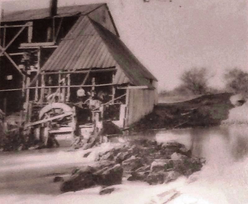
Photographed By Courtesy: Witte Museum, San Antonio
2. Marker detail: Iron Factory
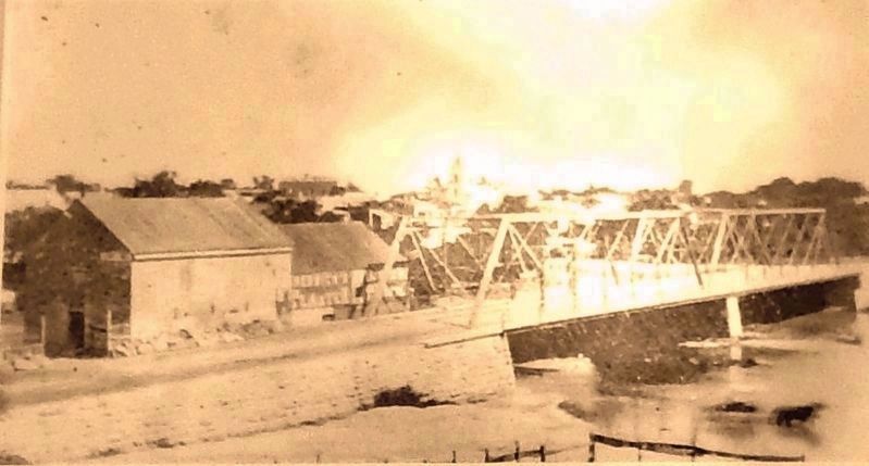
Grist mills and manufacturing plants were powered by water wheels and turbines before the development of steam and electric engines. The San Antonio River between Presa and Navarro streets was the site of two such facilities. The iron factory was built in 1876 at the corner of Market and Presa streets. The plant was sold to George Holmgreen in 1878 and later became known as Alamo Iron Works. It moved to a less developed area east of town in 1884.
Also see . . . South Presa Street Bridge. (This link presents numerous photos of the Presa Street Bridge.) Pony truss bridge over San Antonio River on S. Presa Street in San Antonio, built in 1890 by the Berlin Iron Bridge Company. (Submitted on January 17, 2019, by Cosmos Mariner of Cape Canaveral, Florida.)
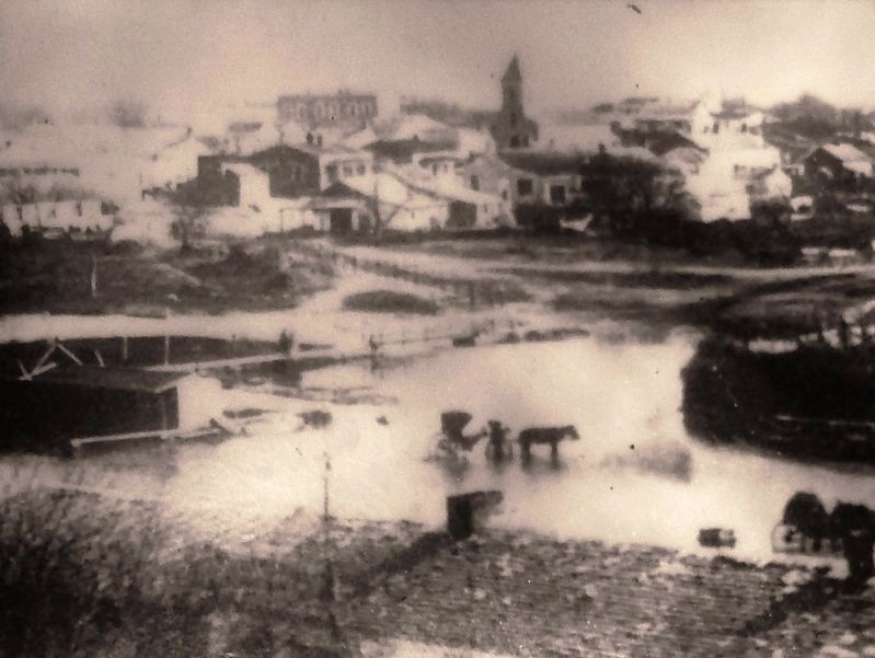
Photographed By Courtesy: Witte Museum, San Antonio
4. Marker detail: Dam circa 1870s
The dam that diverted water into the Pajalache Acequia was located at this wide, shallow river crossing. This photograph, showing La Villita in the background, was taken in the middle 1870s after the dam was removed.
Credits. This page was last revised on February 2, 2023. It was originally submitted on January 17, 2019, by Cosmos Mariner of Cape Canaveral, Florida. This page has been viewed 388 times since then and 42 times this year. Photos: 1, 2, 3, 4, 5, 6. submitted on January 17, 2019, by Cosmos Mariner of Cape Canaveral, Florida. • Andrew Ruppenstein was the editor who published this page.
