Pateros in Okanogan County, Washington — The American West (Northwest)
Methow Indians
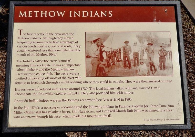
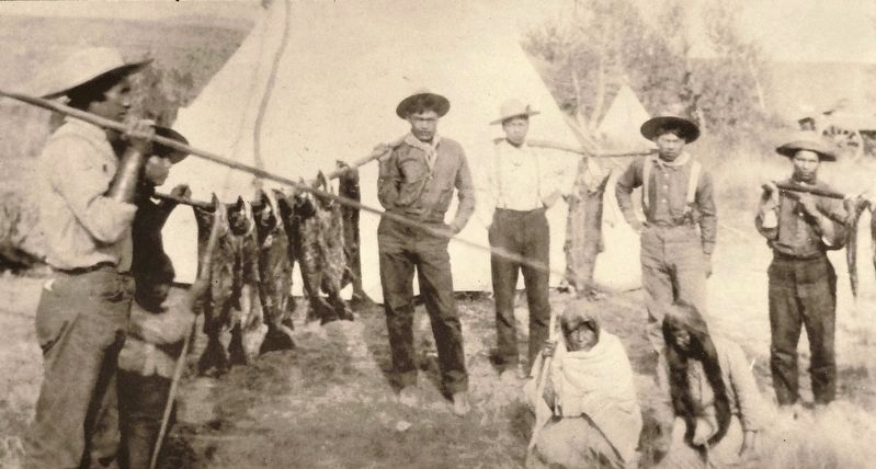
The Indians called the river “xantci’n” meaning little rock gate. It was an important salmon fishery and the Methow Indians used weirs to collect fish. The weirs were a method of blocking off most of the river with fencing to force fish through a small opening where they could be caught. They were then smoked or dried.
Horses were introduced in this area around 1730. The local Indians talked with and assisted David Thompson, the first white explorer, in 1811. They also provided him with horses.
About 50 Indian lodges were in the Pateros area when Lee Ives arrived in 1886. In the late 1800’s, a newspaper account noted the following Indians in Pateros: Captain Joe, Pinto Tom, Sam Miller (Miller still has relatives here), Old Narrsiciss, and Crooked Mouth Bob (who was pinned to a floor with an arrow through his face, which made his mouth crooked).
Topics. This historical marker is listed in these topic lists: Native Americans • Settlements & Settlers.
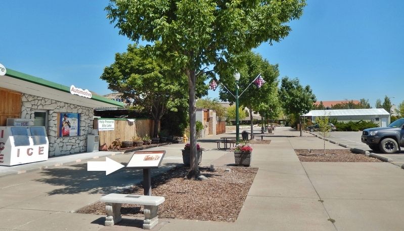
Location. 48° 3.177′ N, 119° 54.031′ W. Marker is in Pateros, Washington, in Okanogan County. Marker can be reached from Commercial Avenue north of Lakeshore Drive, on the right when traveling north. Marker is located along the central walkway of the Pateros Mall, directly in front of the hardware store. Touch for map. Marker is at or near this postal address: 164 Pateros Mall, Pateros WA 98846, United States of America. Touch for directions.
Other nearby markers. At least 5 other markers are within walking distance of this marker. Pateros in the 1950's (a few steps from this marker); Wells Dam Construction (within shouting distance of this marker); Pateros Veterans (about 300 feet away, measured in a direct line); Ive's Landing Hotel (about 400 feet away); The China Ditch (approx. 0.7 miles away).
More about this marker. Marker is a large framed composite plaque, mounted horizontally on a waist-high metal post.
Related markers. Click here for a list of markers that are related to this marker. Pateros, Washington
Also see . . .
1. The Methow Indian's Footprint on the Valley. The territory of the Methow encompassed most of the drainage of the Methow River, which, in turn, drains into the Columbia River. As many as ten Methow village sites have been identified. Methows fished for salmon on the Columbia, Okanogan, Methow Rivers, and all of the major tributaries of the Methow, including the Chewack and Twisp. Hunting and gathering also took place throughout the Methow watershed. Like their neighbors, the Methows' population was severely depleted after the smallpox epidemics that began in the lake 18th century. Population was said to be cut in half during the first half of the 19th century, and then depleted by half again by 1900. In 1883 there were a little over 300 Methow. (Submitted on January 22, 2019, by Cosmos Mariner of Cape Canaveral, Florida.)
2. "Lost Homeland" tells little-known history of Methow Tribe. In 1879, members of the Methow Tribe lost their traditional territory, home to the Methow and their ancestors for thousands of years, through a transfer of land to the U.S. government that was negotiated without their consent. “Lost Homeland: The Methow Tribe and the Columbia Reservation,” traces the history of the Methow Tribe from its earliest ancestors through today... (Submitted on January 22, 2019, by Cosmos Mariner of Cape Canaveral, Florida.)
Credits. This page was last revised on January 25, 2019. It was originally submitted on January 22, 2019, by Cosmos Mariner of Cape Canaveral, Florida. This page has been viewed 357 times since then and 46 times this year. Photos: 1, 2, 3. submitted on January 22, 2019, by Cosmos Mariner of Cape Canaveral, Florida. • Andrew Ruppenstein was the editor who published this page.


