Clarkston in Asotin County, Washington — The American West (Northwest)
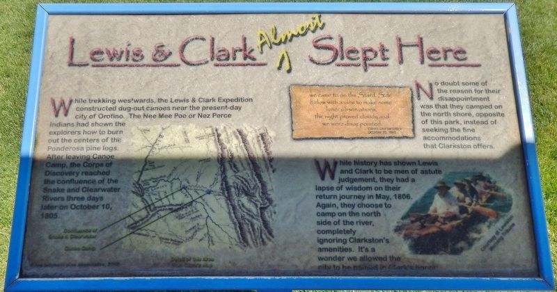
Lewis & Clark Almost Slept Here
we came to on the Stard. Side below with a view to make some luner observations, the night proved cloudy and we were disappointed
Clark’s Journal Entry
October 10, 1805
No doubt some of the reason for their disappointment was that they camped on the north shore, opposite of this park, instead of seeking the fine accommodations that Clarkston offers.
While history has shown Lewis and Clark to be men of astute judgement, they had a lapse of wisdom on their return journey in May, 1806. Again, they chose to camp on the north side of the river, completely ignoring Clarkston’s amenities. It’s a wonder we allowed the city to be named in Clark’s honor.
Topics and series. This historical marker is listed in these topic lists: Exploration • Notable Places • Waterways & Vessels. In addition, it is included in the Lewis & Clark Expedition series list. A significant historical date for this entry is October 10, 1805.
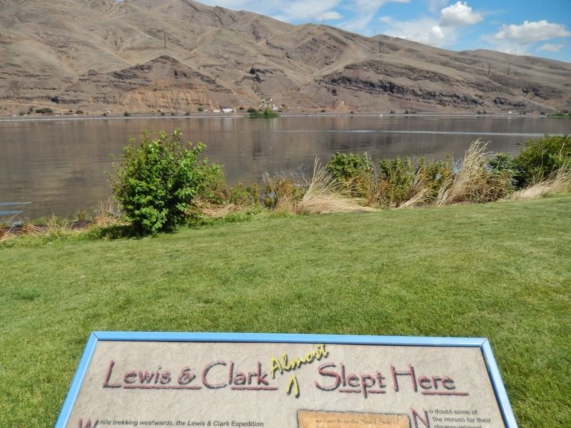
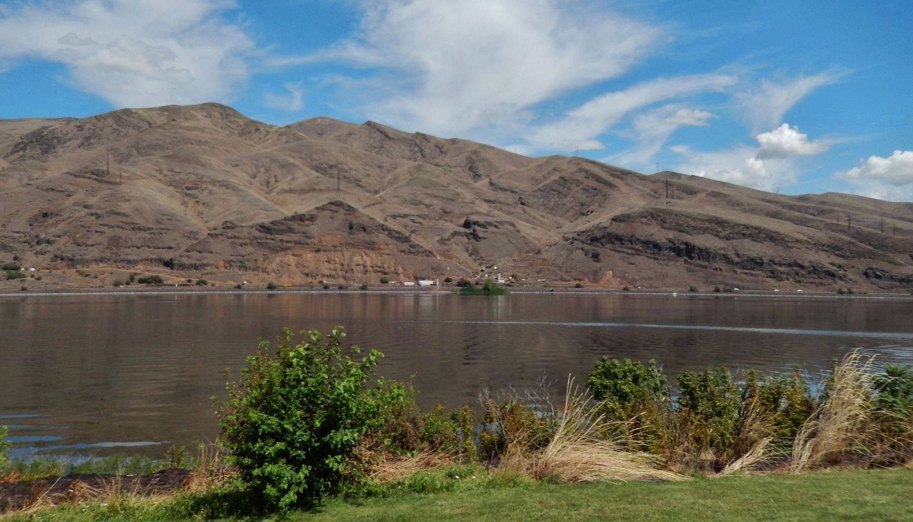
Location. 46° 25.577′ N, 117° 2.935′ W. Marker is in Clarkston, Washington, in Asotin County. Marker can be reached from the intersection of Port Way and 9th Street, on the left when traveling east. Marker is located in Granite Lake Park, just north of the small gazebo, near the northwest corner of the parking lot, overlooking the Snake River. Touch for map. Marker is at or near this postal address: 845 Port Way, Clarkston WA 99403, United States of America. Touch for directions.
Other nearby markers. At least 8 other markers are within walking distance of this marker. Granite Lake Park (a few steps from this marker); Lewis and Clark (about 300 feet away, measured in a direct line); Nimiipuu Homelands (approx. half a mile away); a different marker also named Lewis and Clark (approx. 0.7 miles away in Idaho); Lewiston's Chinese Community (approx. 0.8 miles away in Idaho); Tsceminicum (approx. 0.9 miles away in Idaho); Firsts in Lewiston (approx. 0.9 miles away in Idaho); Kettenbach Building (approx. 0.9 miles away in Idaho). Touch for a list and map of all markers in Clarkston.
More about this marker. Marker is a large, framed composite plaque, mounted horizontally on a waist-high metal post.
Also see . . . Journals of the Lewis & Clark Expedition: October 10, 1805. Clark: "a verry worm day, Indians continue all day on the banks to view us as low as the forks. Two
Indians come up in a Canoe, who means to accompany us to the Great rapids, Could get no observations, worm night— The water of the South fork is of a bluish green colour... our diet extremely bad haveing nothing but roots and dried fish to eate, all the Party have greatly the advantage of me, in as much as they all relish the flesh of the dogs, Several of which we purchased of the nativs for to add to our Store of fish and roots..." (Submitted on January 24, 2019, by Cosmos Mariner of Cape Canaveral, Florida.)
Credits. This page was last revised on January 25, 2019. It was originally submitted on January 24, 2019, by Cosmos Mariner of Cape Canaveral, Florida. This page has been viewed 361 times since then and 29 times this year. Photos: 1, 2, 3. submitted on January 24, 2019, by Cosmos Mariner of Cape Canaveral, Florida. • Andrew Ruppenstein was the editor who published this page.


