Clarkston in Asotin County, Washington — The American West (Northwest)
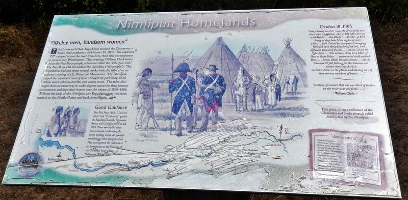
Nimiipuu Homelands
"likeley men, handsom women"
Good Guidance
Two Nez Perce chiefs, “Twisted Hair” and “Tetoharsky,” guided the Expedition down the Clearwater, Snake, and Columbia rivers in fall 1805. These two leaders often traveled ahead, announcing the party’s pending arrival and peaceful intentions to tribes along the river. They accompanied the explorers as far downstream as the Narrows of the Columbia (near present-day Dallesport, Washington).
October 10, 1805
”verry dressey in their way, the dress of the men are a white Buffalow robe or Elk Skin dressed with Beeds… Sea Shells… Mother of Pirl hung to ther hair & on a pice of otter Skin… hair Cewed in two parsels hanging forward over their Sholders, feathers, and different Coloured Paints… white, Green & light Blue… The women dress in a Shirt of Ibex or Goat Skins… ornemented with quilled Brass… Beeds, Shells & curios bones… all the Summer & fall fishing for the Salmon, the winter hunting the deer on Snow Shoes in the plains and takeing care of ther emence numbers of horses…”
”worthy of remark that not one Stick of timber on the river near the forks…”
~William Clark~
This place, at the confluence of the Clearwater and Snake rivers, is called Simiinekem by the Nimiipuu.
”clear as crystal”
Clark described the “Koos koos ke” (Clearwater) River as crystal clear and “Lewis’s” (Snake) River as greenish blue. He mapped the confluence and described the surrounding area.
Topics and series. This historical marker is listed in these topic lists: Exploration • Native Americans. In addition, it is included in the Lewis & Clark Expedition series list. A significant historical date for this entry is October 10, 1805.
Location.
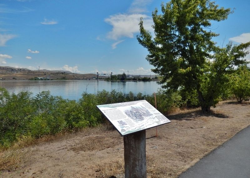
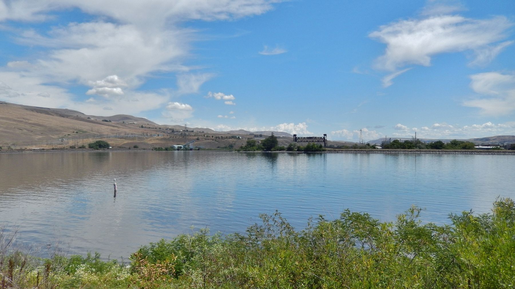
46° 25.433′ N, 117° 2.383′ W. Marker is in Clarkston, Washington, in Asotin County. Marker can be reached from Granite Lake Drive, 0.2 miles east of 5th Street, on the left when traveling east. Marker is located along the Clarkston Greenbelt Trail, overlooking the Snake River, near the southeast corner of the Premier RV Park grounds. Touch for map. Marker is at or near this postal address: 306 Granite Lake Drive, Clarkston WA 99403, United States of America. Touch for directions.
Other nearby markers. At least 8 other markers are within walking distance of this marker. Lewis and Clark (approx. 0.3 miles away in Idaho); Lewiston's Chinese Community (approx. 0.4 miles away in Idaho); Tsceminicum (approx. 0.4 miles away in Idaho); Firsts in Lewiston (approx. 0.4 miles away in Idaho); Granite Lake Park (approx. half a mile away); Kettenbach Building (approx. half a mile away in Idaho); Lewis & Clark Almost Slept Here (approx. half a mile away); Pacific Northwest Bell Building (Historic Name) (approx. half a mile away in Idaho). Touch for a list and map of all markers in Clarkston.
More about this marker. Marker is a large composite plaque, mounted horizontally on a waist-high wooden post.
Also see . . . Journals of the Lewis & Clark Expedition: October 10, 1805. Clark: "a verry worm day, Indians continue all day on the banks to view us as low as the forks.
Two Indians come up in a Canoe, who means to accompany us to the Great rapids, Could get no observations, worm night — The water of the South fork is of a bluish green colour..." (Submitted on January 24, 2019, by Cosmos Mariner of Cape Canaveral, Florida.)
Credits. This page was last revised on January 26, 2019. It was originally submitted on January 24, 2019, by Cosmos Mariner of Cape Canaveral, Florida. This page has been viewed 336 times since then and 20 times this year. Photos: 1, 2, 3. submitted on January 24, 2019, by Cosmos Mariner of Cape Canaveral, Florida. • Andrew Ruppenstein was the editor who published this page.


