Near Church Creek in Dorchester County, Maryland — The American Northeast (Mid-Atlantic)
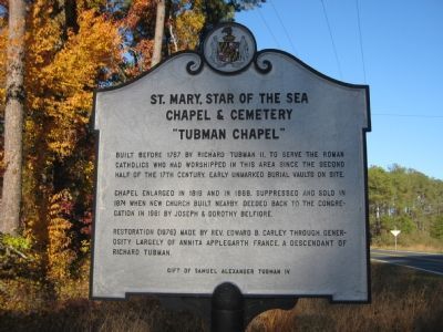
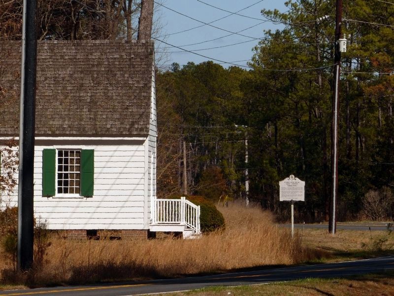
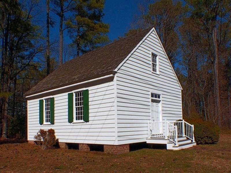
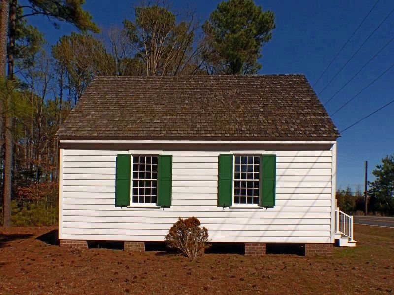
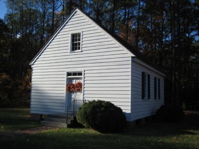
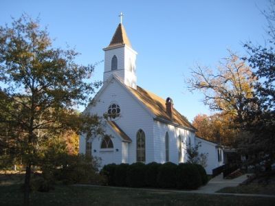
St. Mary, Star of the Sea Chapel & Cemetery
“Tubman Chapel”
Inscription.
Built before 1767 by Richard Tubman II, to serve the Roman Catholics who had worshipped in this area since the second half of the 17th century. Early unmarked burial vaults on site.
Chapel enlarged in 1819 and in 1868. Suppressed and sold in 1874 when new church built nearby. Deeded back to the congregation in 1961 by Joseph & Dorothy Belfiore.
Restoration (1976) made by Rev. Edward B. Carley through generosity largely of Annita Applegarth France, a descendant of Richard Tubman.
Erected by Samuel Alexander Tubman IV.
Topics. This historical marker is listed in these topic lists: Churches & Religion • Colonial Era. A significant historical year for this entry is 1767.
Location. 38° 23.183′ N, 76° 14.859′ W. Marker is near Church Creek, Maryland, in Dorchester County. Marker is on Hoopers Island Road (Maryland Route 335) 0.8 miles west of Smithville Road, on the right when traveling west. Touch for map. Marker is in this post office area: Fishing Creek MD 21634, United States of America. Touch for directions.
Other nearby markers. At least 8 other markers are within 7 miles of this marker, measured as the crow flies. Hoopers Island (approx. 2.9 miles away); New Revived Church (approx. 6.2 miles away); Battle of the Ice Mound (approx. 6.3 miles away); The Becky Phipps (approx. 6.3 miles away); Trapped (approx. 6.3 miles away); First School House (approx. 6.7 miles away); Chapel of Ease (approx. 6.7 miles away); Old Schoolhouse (approx. 6.7 miles away).
Credits. This page was last revised on August 30, 2022. It was originally submitted on December 5, 2007, by F. Robby of Baltimore, Maryland. This page has been viewed 2,114 times since then and 40 times this year. Last updated on August 7, 2020, by Carl Gordon Moore Jr. of North East, Maryland. Photos: 1. submitted on December 5, 2007, by F. Robby of Baltimore, Maryland. 2, 3, 4. submitted on March 15, 2018, by Allen C. Browne of Silver Spring, Maryland. 5, 6. submitted on December 5, 2007, by F. Robby of Baltimore, Maryland. • Bill Pfingsten was the editor who published this page.
