Near Diablo in Whatcom County, Washington — The American West (Northwest)
Gorge High Dam
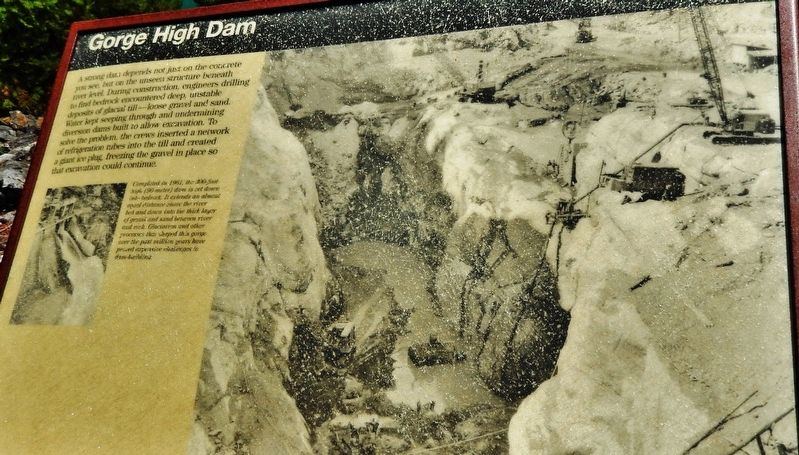
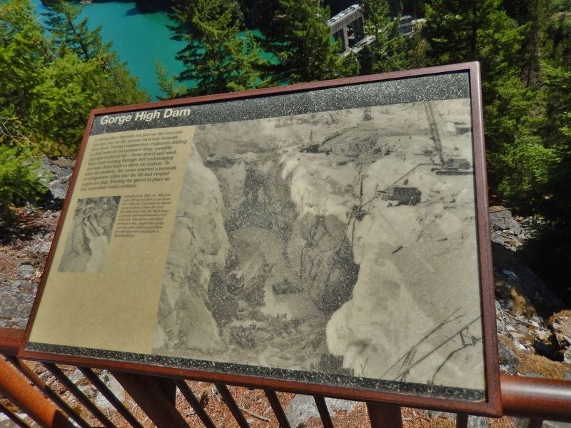
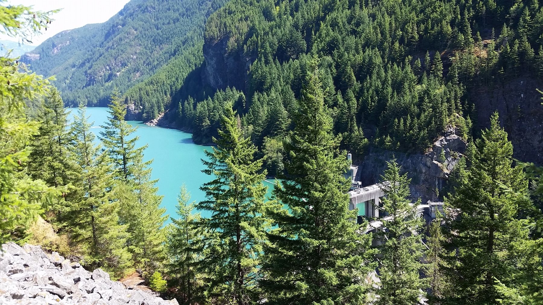
Completed in 1961, the 300-foot-high (90-meter) dam is set down into bedrock. It extends an almost equal distance above the river bed and down into the thick layer of gravel and sand between river and rock. Glaciation and other processes that shaped this gorge over the past million years have proved expensive challenges to dam-building.
Topics. This historical marker is listed in these topic lists: Landmarks • Man-Made Features • Waterways & Vessels. A significant historical date for this entry is January 6, 1961.
Location. 48° 41.979′ N, 121° 12.631′ W. Marker is near Diablo, Washington, in Whatcom County. Marker can be reached from North Cascades Highway (at milepost 125), 2˝ miles west of Diablo Street, on the left when traveling west. Marker is located along the Gorge Overlook Trail. Access is via the parking lot on the south side of the highway, just west of Gorge Creek. Touch for map. Marker is in this post office area: Marblemount WA 98267, United States of America. Touch for directions.
Other nearby markers. At least 8 other markers are within 6 miles of this marker, measured as the crow flies. Transmission Lines (within shouting distance of this marker); Chain of Dams (about 400 feet away, measured in a direct line); Lighting of the Falls (approx. 2.1 miles away); Electric Forest (approx. 2.1 miles away); Welcome to Ladder Creek Falls & Gardens (approx. 2.2 miles away); Gorge Powerhouse (approx. 2.2 miles away); Old Number 6 (approx. 2.4 miles away); The North Cascades (approx. 5.3 miles away). Touch for a list and map of all markers in Diablo.
More about this marker. Marker is a large, framed, rectangular composite plaque, mounted horizontally, at waist-level, on the overlook railing.
Related markers. Click here for a list of markers that are related to this marker. Skagit River Hydroelectric Project
Also see . . .
1. Upper Skagit River Hydroelectric Project. Seattle City Light elected to replace the wooden weir at Gorge Creek with a concrete combination gravity-arch dam. Construction required the innovative technique of freezing the Skagit while the riverbed was excavated. On January 6, 1961, the 300-foot high Gorge Creek High Dam was dedicated. Costs
of the entire Skagit River project totaled some $250 million over 50 years. (Submitted on January 29, 2019, by Cosmos Mariner of Cape Canaveral, Florida.)
2. Gorge High Dam. This link presents a gallery of historic Gorge High Dam photographs. (Submitted on January 29, 2019, by Cosmos Mariner of Cape Canaveral, Florida.)
Credits. This page was last revised on January 30, 2019. It was originally submitted on January 28, 2019, by Cosmos Mariner of Cape Canaveral, Florida. This page has been viewed 192 times since then and 26 times this year. Photos: 1, 2, 3. submitted on January 29, 2019, by Cosmos Mariner of Cape Canaveral, Florida. • Andrew Ruppenstein was the editor who published this page.


