Wheelock in Robertson County, Texas — The American South (West South Central)
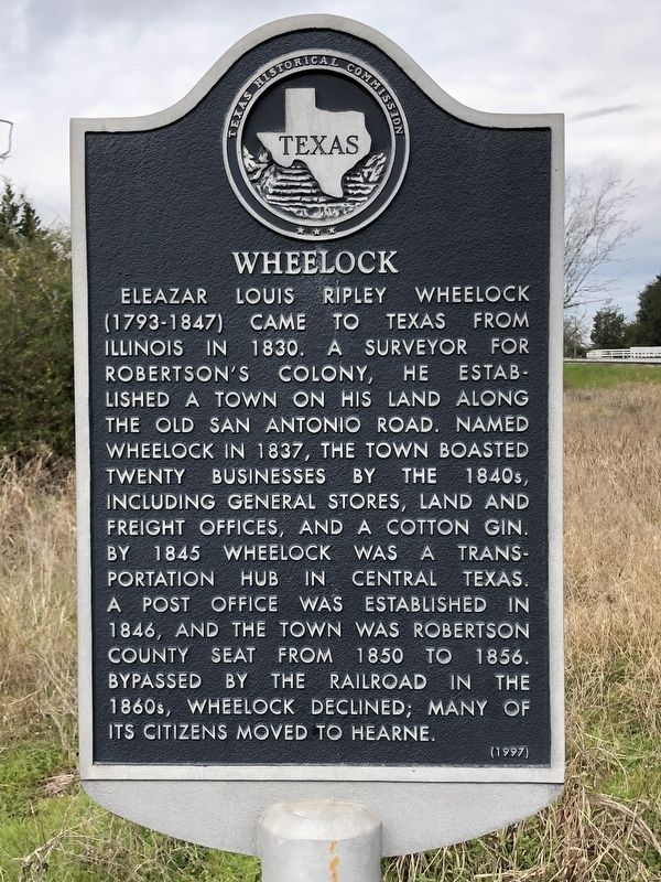
Wheelock
Erected 1997 by Texas Historical Commission. (Marker Number 11756.)
Topics. This historical marker is listed in this topic list: Settlements & Settlers. A significant historical year for this entry is 1837.
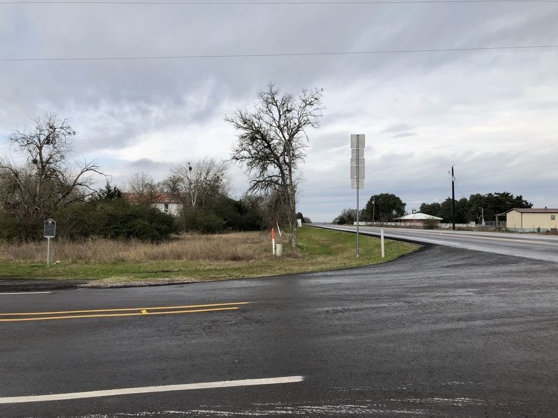
Location. 30° 53.985′ N, 96° 23.565′ W. Marker is in Wheelock, Texas, in Robertson County. Marker is at the intersection of Farm to Market Road 391 and Bremond Street (Farm to Market Road 46), on the right when traveling west on Road 391. Touch for map. Marker is in this post office area: Wheelock TX 77882, United States of America. Touch for directions.
Other nearby markers. At least 8 other markers are within 11 miles of this marker, measured as the crow flies. A different marker also named Wheelock (a few steps from this marker); Kings Highway Camino Real — Old San Antonio Road (approx. 1.9 miles away); a different marker also named Kings Highway Camino Real — Old San Antonio Road (approx. 5.1 miles away); a different marker also named Kings Highway Camino Real — Old San Antonio Road (approx. 5.6 miles away); a different marker also named Kings Highway Camino Real — Old San Antonio Road (approx. 9.9 miles away); Franklin (approx. 10.3 miles away); Old Franklin (approx. 10.3 miles away); Franklin Carnegie Library (approx. 10.4 miles away). Touch for a list and map of all markers in Wheelock.
Also see . . . Wheelock, TX - The Handbook of Texas Online. Texas State Historical Association (TSHA) (Submitted on January 29, 2019, by Brian Anderson of Humble, Texas.)
Credits. This page was last revised on January 29, 2019. It was originally submitted on January 29, 2019, by Brian Anderson of Humble, Texas. This page has been viewed 209 times since then and 31 times this year. Photos: 1, 2. submitted on January 29, 2019, by Brian Anderson of Humble, Texas.

