Marker Logo HMdb.org THE HISTORICAL
MARKER DATABASE
“Bite-Size Bits of Local, National, and Global History”
Darlington in Harford County, Maryland — The American Northeast (Mid-Atlantic)
 

Berkley Crossroads


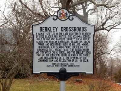
Berkley Crossroads Marker image. Click for full size.
Photographed By Bill Pfingsten, December 8, 2014
1. Berkley Crossroads Marker
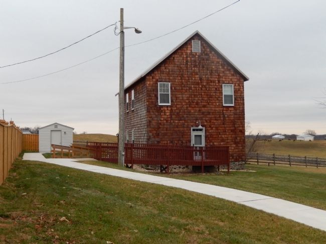
Inscription. A hamlet settled in the late eighteenth century by free blacks and whites. The Hosanna School, built in 1867, was Harford County's first public school for African Americans. Travelers, local farms, and industries such as milling, mining, quarrying, and canning were served by the Conowingo Toll Bridge (1818), the Susquehanna and Tidewater Canal (1839), and the Berkley Road. Part of the principal route between Baltimore and Philadelphia until the opening of the Conowingo Dam and relocation of US 1 in 1928.
 
Erected by Maryland Historic Trust, Maryland State Highway Administration.
 
Topics and series. This historical marker is listed in these topic lists: African AmericansBridges & ViaductsEntertainmentSettlements & Settlers. In addition, it is included in the Susquehanna and Tidewater Canal series list. A significant historical year for this entry is 1867.
 
Location. 39° 39.677′ N, 76° 12.545′ W. Marker is in Darlington, Maryland, in Harford County. Marker is at the intersection of Castleton Road and Berkley Road on Castleton Road. Touch for map. Marker is in this post office area: Darlington MD 21034, United States of America. Touch for directions.
 
Other nearby markers. At least 8 other markers are within 4 miles of this marker, measured as the crow flies. Lafayette at Colonel Rigbie’s House (approx. ¼ mile away); Conowingo (approx. 1.6 miles
Paid Advertisement
Click on the ad for more information.
Please report objectionable advertising to the Editor.
Click or scan to see
this page online
away); Keziah's Diary (approx. 2 miles away); Susquehanna River fishing (approx. 2.2 miles away); A Susquehannock Indian Fort (approx. 2.7 miles away); Bald Friar Ford & Ferry (approx. 3.2 miles away); The Proprietors of the Susquehanna Canal (approx. 3.2 miles away); Stafford Flint Furnace (approx. 3.6 miles away). Touch for a list and map of all markers in Darlington.
 
Hosanna School image. Click for full size.
Photographed By Bill Pfingsten, December 8, 2014
2. Hosanna School
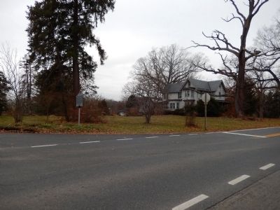
Berkley Crossroads Marker image. Click for full size.
Photographed By Bill Pfingsten, December 8, 2014
3. Berkley Crossroads Marker
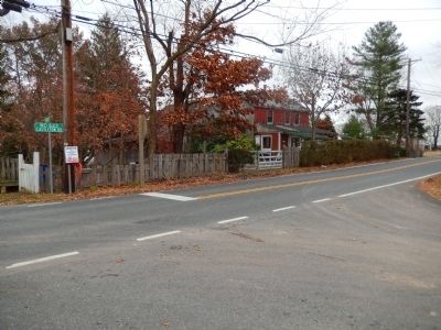
Berkley Crossroads Marker image. Click for full size.
Photographed By Bill Pfingsten, December 8, 2014
4. Berkley Crossroads Marker
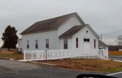
Hosanna AME Church image. Click for full size.
Photographed By Bill Pfingsten, December 8, 2014
5. Hosanna AME Church
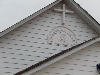
Hosanna AME Church AD 1880 image. Click for full size.
Photographed By Bill Pfingsten, December 8, 2014
6. Hosanna AME Church AD 1880
 
 
Credits. This page was last revised on December 31, 2019. It was originally submitted on December 8, 2014, by Bill Pfingsten of Bel Air, Maryland. This page has been viewed 812 times since then and 49 times this year. Last updated on December 29, 2019, by Carl Gordon Moore Jr. of North East, Maryland. Photos:   1, 2, 3, 4, 5, 6. submitted on December 8, 2014, by Bill Pfingsten of Bel Air, Maryland.
Share this page.  
Share on Tumblr
m=143953

CeraNet Cloud Computing sponsors the Historical Marker Database.
This website earns income from purchases you make after using our links to Amazon.com. We appreciate your support.
Paid Advertisement
Apr. 25, 2024