St. Petersburg in Pinellas County, Florida — The American South (South Atlantic)
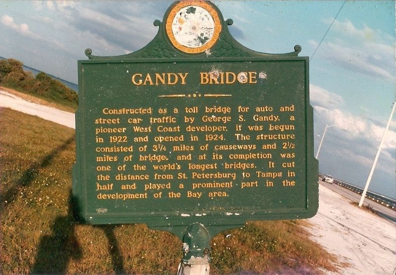
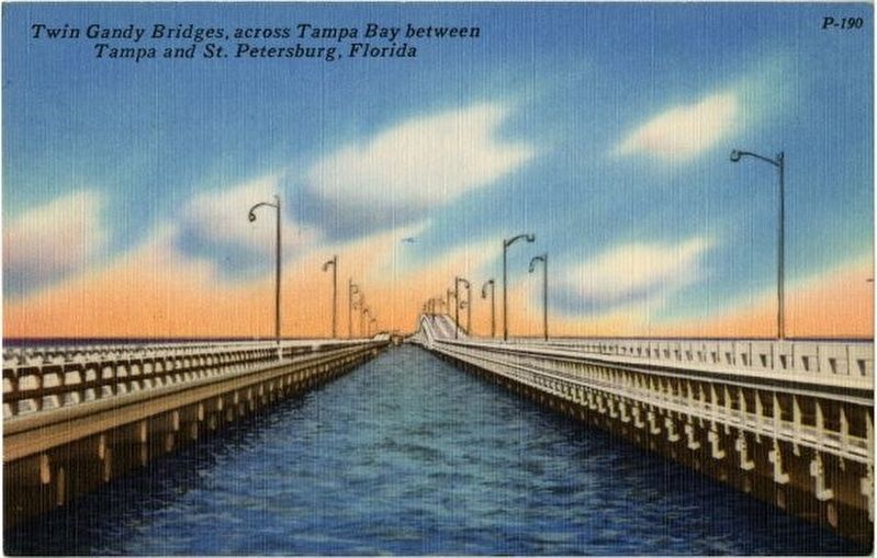
Gandy Bridge
Erected 1961 by Florida Board of Parks and Historic Memorials. (Marker Number F-37.)
Topics. This historical marker is listed in this topic list: Bridges & Viaducts. A significant historical year for this entry is 1924.
Location. Marker is missing. It was located near 27° 52.762′ N, 82° 34.977′ W. Marker was in St. Petersburg, Florida, in Pinellas County. Marker was on West Gandy Boulevard (U.S. 92) 2.1 miles east of San Fernando Drive NE, on the right when traveling west. Touch for map. Marker was in this post office area: Saint Petersburg FL 33702, United States of America. Touch for directions.
Other nearby markers. At least 8 other markers are within 6 miles of this location, measured as the crow flies. The Rough Riders Embark the S.S. Yucatan (approx. 2.6 miles away); Palonis Park (approx. 2.8 miles away); Bayflite 3 Crew (approx. 3 miles away); Liberty Tree Memorial (approx. 3½ miles away); Tampa as Port of Embarkation for Spanish American War (approx. 3½ miles away); Rio Vista Elementary School (approx. 3.7 miles away); Port Tampa Cemetery (approx. 4.7 miles away); Cypress Point Park Historic Salt Works Display (approx. 5.4 miles away). Touch for a list and map of all markers in St. Petersburg.
More about this marker. Marker was located at the foot of the westbound span of the 2nd Gandy Bridge which has since been demolished. Marker disappeared in approximately 1989.
Also see . . . Gandy Bridge. Wikipedia (Submitted on January 30, 2019, by Tim Fillmon of Webster, Florida.)
Credits. This page was last revised on May 25, 2019. It was originally submitted on January 30, 2019, by Tim Fillmon of Webster, Florida. This page has been viewed 384 times since then and 54 times this year. Photos: 1, 2. submitted on January 30, 2019, by Tim Fillmon of Webster, Florida. • Bernard Fisher was the editor who published this page.

