Rockville in Montgomery County, Maryland — The American Northeast (Mid-Atlantic)
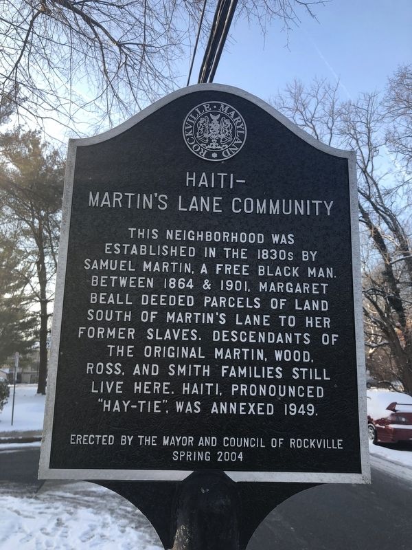
Haiti-Martin's Lane Community
Rockville, Maryland
Erected 2004 by The Mayor and Council of Rockville.
Topics. This historical marker is listed in these topic lists: African Americans • Settlements & Settlers. A significant historical year for this entry is 1864.
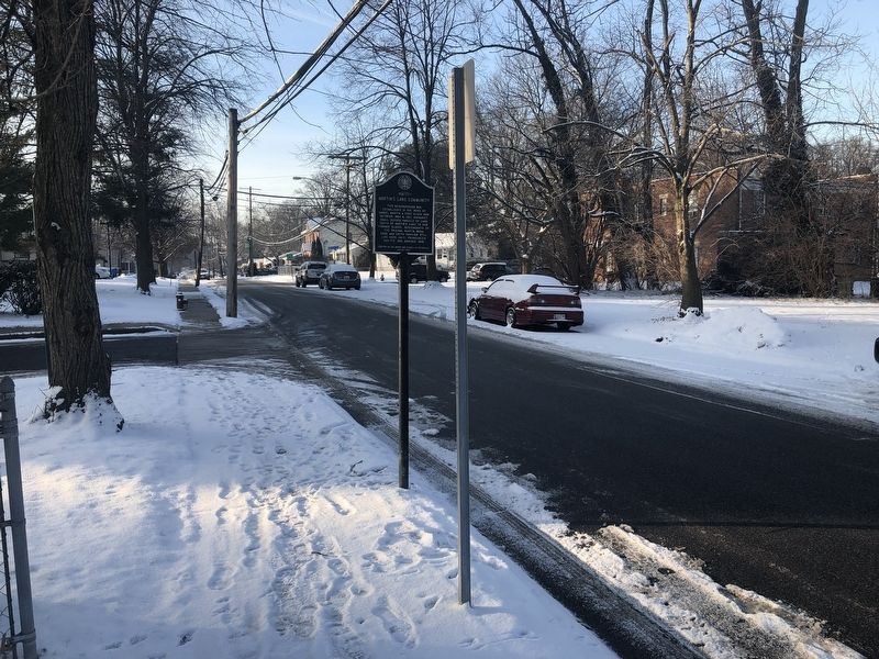
Location. 39° 5.369′ N, 77° 9.366′ W. Marker is in Rockville, Maryland, in Montgomery County. Marker is on North Van Buren Street north of Dawson Avenue, on the right when traveling north. Touch for map. Marker is at or near this postal address: 349 North Van Buren Street, Rockville MD 20850, United States of America. Touch for directions.
Other nearby markers. At least 8 other markers are within walking distance of this marker. Snowden Funeral Home (approx. 0.2 miles away); Rockville's First Colored School / Rockville's Second Colored School (approx. ¼ mile away); Of By For (approx. ¼ mile away); Clinton A.M.E. Zion Church (approx. ¼ mile away); Mr. T's (approx. ¼ mile away); Lucy Simpson's Rockville Institute (approx. ¼ mile away); Rockville Methodist Episcopal Church - Jerusalem Mount Pleasant United United Methodist Church (approx. ¼ mile away); Jerusalem - Mt. Pleasant Church and Parsonage (approx. ¼ mile away). Touch for a list and map of all markers in Rockville.
Credits. This page was last revised on February 4, 2019. It was originally submitted on February 2, 2019, by Devry Becker Jones of Washington, District of Columbia. This page has been viewed 1,053 times since then and 47 times this year. Photos: 1, 2. submitted on February 2, 2019, by Devry Becker Jones of Washington, District of Columbia. • Bill Pfingsten was the editor who published this page.

