Halfmoon in Saratoga County, New York — The American Northeast (Mid-Atlantic)
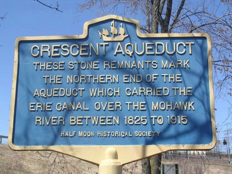
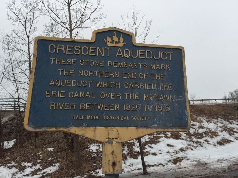
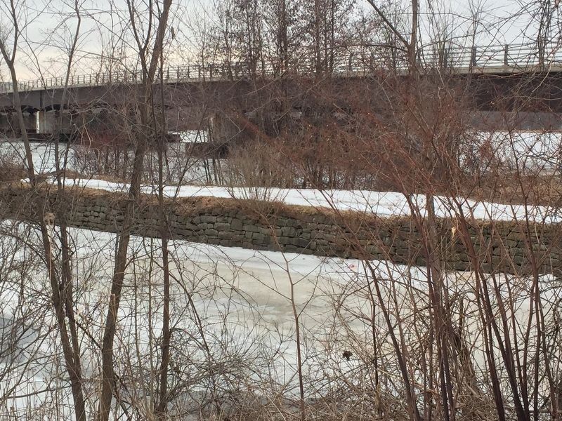
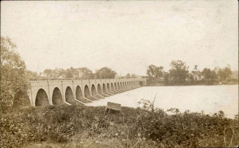
Crescent Aqueduct
Erected by Halfmoon Historical Society.
Topics and series. This historical marker is listed in these topic lists: Bridges & Viaducts • Waterways & Vessels. In addition, it is included in the Erie Canal series list. A significant historical year for this entry is 1825.
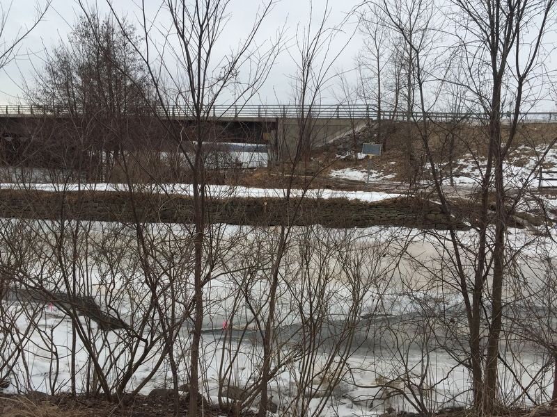
Location. 42° 49.394′ N, 73° 43.926′ W. Marker is in Halfmoon, New York, in Saratoga County. Marker can be reached from the intersection of Terminal Road and U.S. 9. Marker is Halfmoon Crescent Park, and is visible from the small "Terminal Road." Marker can be seen, albeit poorly, from the bridge on US 9. Touch for map. Marker is in this post office area: Clifton Park NY 12065, United States of America. Touch for directions.
Other nearby markers. At least 8 other markers are within walking distance of this marker. Crescent (within shouting distance of this marker); Church Hill Historic District (about 500 feet away, measured in a direct line); a different marker also named Crescent (approx. 0.2 miles away); Oakcliff (approx. 0.2 miles away); Crescent / Mohawk Towpath Byway / Halfmoon (approx. 0.2 miles away); Loudoun Ferry Road (approx. half a mile away); Halfmoon Academy (approx. 0.7 miles away); Halfmoon (approx. 0.8 miles away). Touch for a list and map of all markers in Halfmoon.
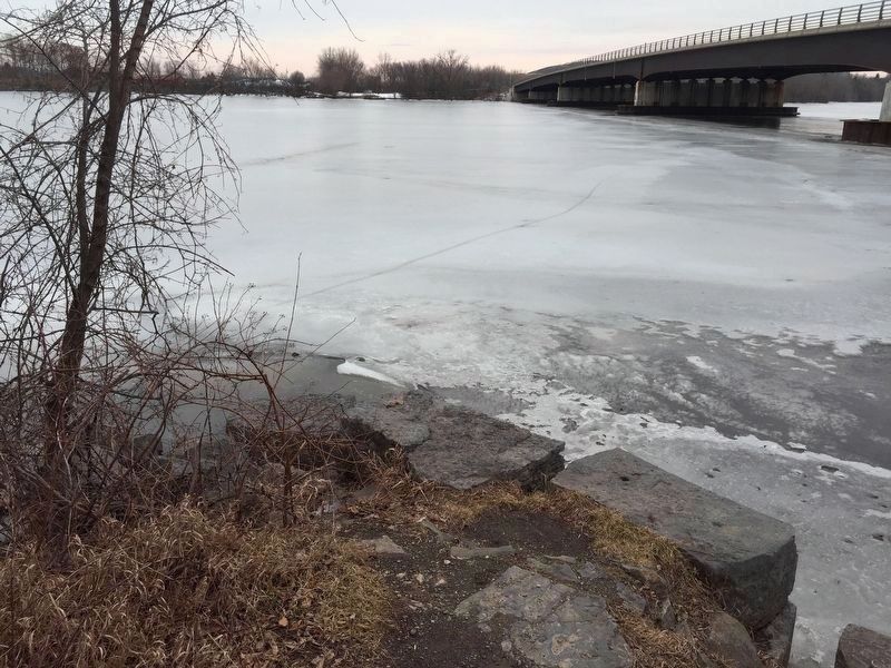
Regarding Crescent Aqueduct. This was the longest aqueduct on the Erie Canal.
Also see . . . The Crescent Aqueduct on ErieCanal.org. (Submitted on November 7, 2019, by Howard C. Ohlhous of Duanesburg, New York.)
Credits. This page was last revised on November 8, 2019. It was originally submitted on February 6, 2019, by Steve Stoessel of Niskayuna, New York. This page has been viewed 248 times since then and 16 times this year. Photos: 1. submitted on November 7, 2019, by Howard C. Ohlhous of Duanesburg, New York. 2, 3, 4, 5. submitted on February 6, 2019, by Steve Stoessel of Niskayuna, New York. 6. submitted on February 6, 2019. • Andrew Ruppenstein was the editor who published this page.
