Schuylerville in Saratoga County, New York — The American Northeast (Mid-Atlantic)
Lakes to Locks Passage
The Great Northeast Journey
— Champlain Canal Region —
Victory
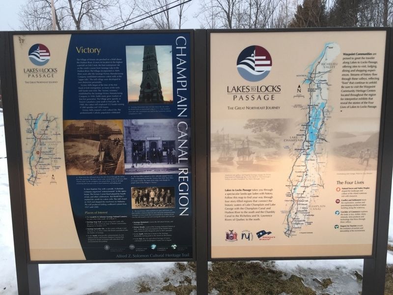
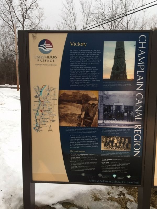
The Village of Victory sits perched on a bluff above the Hudson River, It owes its location to the highest waterfall on Fish Creek, the best waterpower site on the the creek's course from Saratoga Lake to the Hudson River. The Village incorporated in 1849, three years after the Saratoga Victory Manufacturing Company established extensive cotton mills at the "upper falls." The mill village soon developed its own distinctive personality.
Victory Mills began at the time of the first flood of Irish immigration, so many of the early mill hands were Irish. The "factory cemetery" established by the Saratoga Victory Manufacturing Company in 1846 holds many grave markers of that first generation. The Village grew quickly as French Canadians came south to find jobs. By 1900, the cotton mill employed 525 hands running 47,000 spindles and 1050 looms.
Victory Mills enjoyed a rich cultural life. The predominately Catholic population celebrated St. Jean Baptiste Day with a parade. A dramatic company organized "entertainments" in the opera house. The Victory Cornet Band played for the Fourth of July and other celebrations. But World War 1 marked the zenith for cotton mills. The mill closed in 1929 and shipped the machinery to Alabama. The mill produced folding cardboard cartoons from 1937 until 2000. Places of Interest:
- The Gerald H. Soloman Saratoga National Cemetery lies just a few miles south off of Route 4.
- Saratoga Siege Trail, located along Fish Creek tells the story of the American Siege of British General John Burgonyne in October 1777.
-Saratoga Surrender Site on the corner of Route 4 and Schuyler Street is where the British surrendered after the Battle of Saratoga
-In the North, Schuylerville commemorates its rich military history and features Hudson Crossing Park designed to merge recreation with education and environmental stewardship.
-Saratoga Monument crowns the hill above Victory and Schuylerville.
-Victory Woods, a part of Saratoga National Historical Park, marks the final encampment of the British Army under General John Burgoyne prior to their surrender.
-To the South, Stillwater is home to Saratoga Battlefield, turning point in the American Revolution.
-To the East, the rich agricultural heritage of Easton culminates at the Washington County Fair in August.
Right Hand Map:
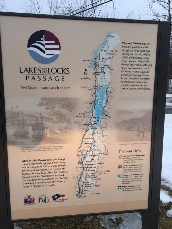
"Locks to Lakes Passage" takes you through a spectacular landscape laden with history. Follow this map to find your way through four story-filled regions that connect the historic waters of Lake Champlain and Lake George with the Champlain Canal and the Hudson River to the the south and Chambly Canal to Richelieu and St. Lawrence Rivers of Quebec to the north.
Erected by New York State/NY Scenic Byways/America's Byways.
Topics. This historical marker is listed in these topic lists: Industry & Commerce • Waterways & Vessels. A significant historical month for this entry is October 1777.
Location. 43° 5.118′ N, 73° 35.857′ W. Marker is in Schuylerville, New York, in Saratoga County. Marker is at the intersection of New York State Route 32 and Herkimer Street, on the right when traveling south on State Route 32. Marker is in the middle of the "Y" formed where these two roads join. Touch for map. Marker is in this post office area: Schuylerville NY 12871, United States of America. Touch for directions.
Other nearby markers. At least 8 other markers are within walking distance of this marker. Colonel Morgan (approx. 0.2 miles away); Victory Woods (approx. half a mile away); The Loyalists Leave Early (approx. half a mile away); Two Brothers Meet Again (approx. 0.6 miles away); Fraser’s Corps (approx. 0.6 miles away); The Stench of Failure (approx. 0.6 miles away); A Good Place to Set Up Camp (approx. 0.7 miles away); Burgoyne Hopelessly Surrounded (approx. 0.7 miles away). Touch for a list and map of all markers in Schuylerville.
Credits. This page was last revised on February 7, 2019. It was originally submitted on February 6, 2019, by Steve Stoessel of Niskayuna, New York. This page has been viewed 147 times since then and 13 times this year. Photos: 1, 2, 3. submitted on February 6, 2019, by Steve Stoessel of Niskayuna, New York. • Bill Pfingsten was the editor who published this page.


