Near Coulee City in Grant County, Washington — The American West (Northwest)
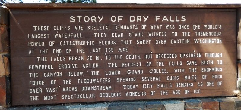
Story of Dry Falls
The falls began 20 mi. to the south, but receded upstream through powerful erosive action. The retreat of the falls gave birth to the canyon below, the lower Grand Coulee, with the enormous force of the floodwaters spewing several cubic miles of rock over vast areas downstream. Today Dry Falls remains as one of the most spectacular geologic wonders of the Age of Ice.
Erected by Washington State Parks and the Washington State Department of Transportation. (Marker Number 27.)
Topics. This historical marker is listed in these topic lists: Natural Features • Notable Events.
Location. 47° 36.42′ N, 119° 21.86′ W. Marker is near Coulee City, Washington, in Grant County. Marker can be reached from Park Lake Road Northeast (Washington Route 17) 2 miles south of U.S. 2, on the left when traveling south. Marker is located in Sun Lakes-Dry Falls State Park, on the north side of the Visitor Center parking lot. Touch for map. Marker is at or near this postal address: 34875 Park Lake Road Northeast, Coulee City WA 99115, United States of America. Touch for directions.
Other nearby markers. At least 6 other markers are within 13 miles of this marker, measured as the crow flies. World's Greatest Waterfall... Without Water! (within shouting distance of this marker); Explore Massive Floodscapes! (within shouting distance of this marker); In the Path of Cataclysmic Floods (within shouting distance of this marker); Dry Falls (within shouting distance of this marker); The Cariboo Cattle Trail (approx. 6.7 miles away); History of the Stratford Area (approx. 13.1 miles away).
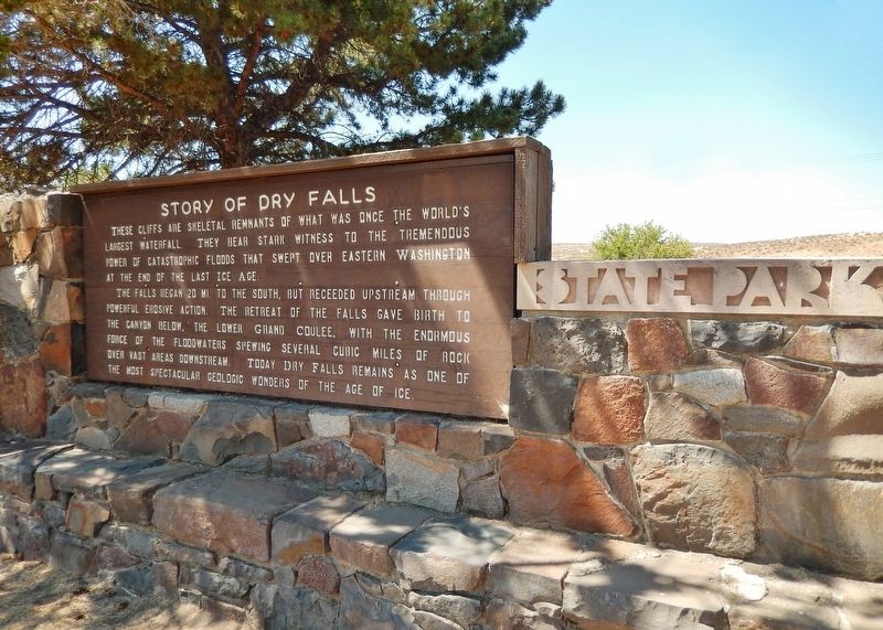
More about this marker. This is a large, painted wooden "billboard-style" marker, mounted on a rock and masonry wall near the park entrance.
Related markers. Click here for a list of markers that are related to this marker. Sun Lakes-Dry Falls State Park
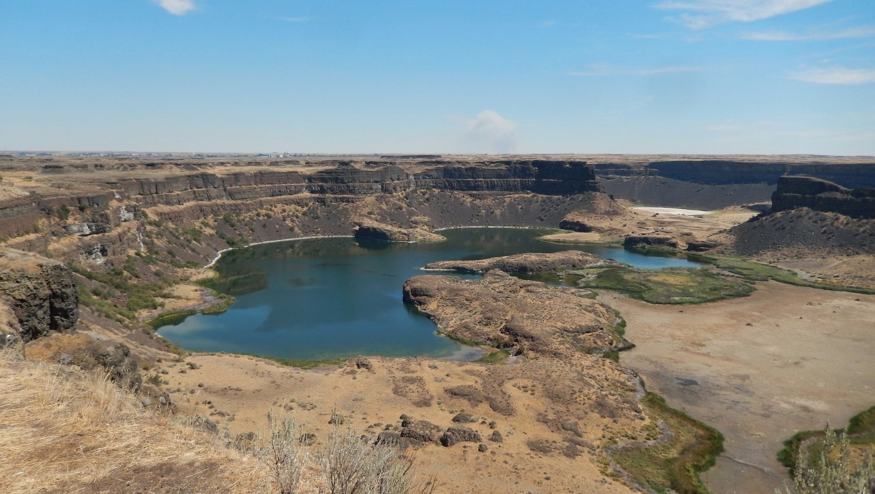
Also see . . . Sun Lakes-Dry Falls State Park. Dry Falls is a geological wonder of North America. Carved by Ice Age floods more than 13,000 years ago, the former waterfall was once four times the size of Niagara Falls. Today, the 400-foot-high, 3.5-mile-wide cliff overlooks a big sky and a landscape of deep gorges and dark, reflective lakes. The park is a notable site along the National Ice Age Floods Geologic Trail. (Submitted on February 8, 2019, by Cosmos Mariner of Cape Canaveral, Florida.)
Credits. This page was last revised on January 27, 2020. It was originally submitted on February 8, 2019, by Cosmos Mariner of Cape Canaveral, Florida. This page has been viewed 320 times since then and 24 times this year. Photos: 1, 2, 3. submitted on February 8, 2019, by Cosmos Mariner of Cape Canaveral, Florida. • Bill Pfingsten was the editor who published this page.


