Coulsdon in Greater London, England, United Kingdom — Northwestern Europe (the British Isles)
Chalk Grassland
Chalk Grassland
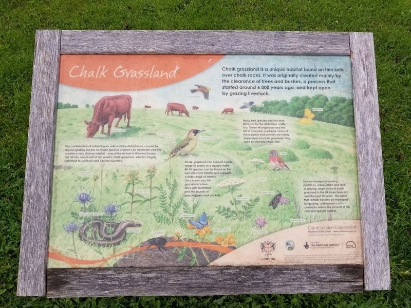
Chalk grassland is a unique habitat found on thin soils over chalk rocks. It was originally created mainly by the clearance of trees and bushes, a process that started around 6,000 years ago, and kept open by grazing livestock.
The combination of nutrient-poor soils and the disturbance caused by regular grazing means no single species of plant can dominate and this creates a very diverse habitat - one of the richest in Western Europe. The UK has about half of the world's chalk grassland, which is largely restricted to southern and eastern counties.
Chalk grassland can support a wide range of plants; in a square metre 40-50 species can be found on the best sites. This habitat also supports a wide range of insects. On a sunny day the grassland comes alive with butterflies and the sounds of grasshoppers and-crickets.
Many bird species also live here listen out for the distinctive 'yaffle’ of a Green Woodpecker and the trill of a Skylark overhead. Some of these plants and animals are totally dependent on chalk grassland; they can't survive anywhere else.
Due to changes in farming practices, urbanisation and lack of grazing, large areas of chalk grassland in the UK have been lost over the past 50 years. The areas that remain need to be managed by grazing, cutting and scrub control to ensure the survival of this rare and special habitat.
Topics. This historical marker is listed in this topic list: Parks & Recreational Areas.
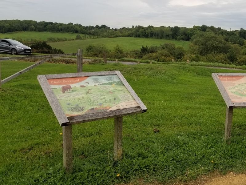
Location. 51° 17.974′ N, 0° 8.097′ W. Marker is in Coulsdon, England, in Greater London. Marker is at the intersection of Ditches Lane and Drive Road, on the left when traveling north on Ditches Lane. Located on Farthing Downs. Touch for map. Marker is in this post office area: Coulsdon, England CR5 1DA, United Kingdom. Touch for directions.
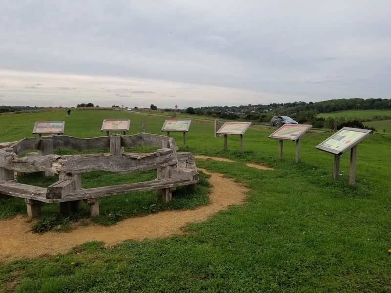
Other nearby markers. At least 8 other markers are within 14 kilometers of this marker, measured as the crow flies. Open Spaces (here, next to this marker); Early History (here, next to this marker); The City of London (here, next to this marker); Recent History (here, next to this marker); Lord Nelson Memorial (approx. 13.3 kilometers away); Merton Place (approx. 13.4 kilometers away); The Mansion (approx. 13.5 kilometers away); Sweech House (approx. 13.6 kilometers away). Touch for a list and map of all markers in Coulsdon.
Also see . . . Farthing Downs on Wikipedia. (Submitted on February 11, 2019, by Michael Herrick of Southbury, Connecticut.)
Credits. This page was last revised on February 9, 2023. It was originally submitted on February 11, 2019, by Michael Herrick of Southbury, Connecticut. This page has been viewed 126 times since then and 9 times this year. Photos: 1, 2, 3. submitted on February 11, 2019, by Michael Herrick of Southbury, Connecticut.


