Near Truckee in Nevada County, California — The American West (Pacific Coastal)
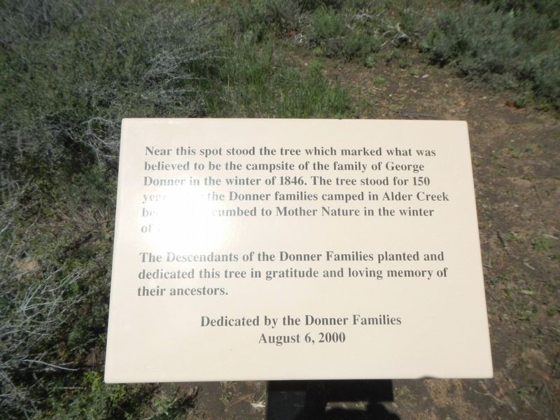
Donner Camp Tree
The Descendants of the Donner Families planted and dedicated this tree in gratitude and loving memory of their ancestors.
Erected 2000 by Descendants of the Donner Families.
Topics. This historical marker is listed in these topic lists: Disasters • Horticulture & Forestry • Settlements & Settlers.
Location. 39° 22.613′ N, 120° 10.745′ W. Marker is near Truckee, California, in Nevada County. Marker can be reached from State Highway 89 near Alder Creek Road. Touch for map. Marker is at or near this postal address: 128, Truckee CA 96161, United States of America. Touch for directions.
Other nearby markers. At least 8 other markers are within walking distance of this marker. Shelter From the Storm (here, next to this marker); Donner Camp Site (a few steps from this marker); The Fight to Stay Alive (within shouting distance of this marker); The Nightmare Begins (about 400 feet away, measured in a direct line); Surviving the Snowy Trek Out (about 400 feet away); A Family Heads West (about 500 feet away); Westward Ho! (about 500 feet away); Donner Party Camp at Alder Creek Valley / Tamsen and Elizabeth Donner (about 600 feet away). Touch for a list and map of all markers in Truckee.
More about this marker. This marker is located on the Donner Camp Historic Trail.

Photographed By Barry Swackhamer, April 26, 2018
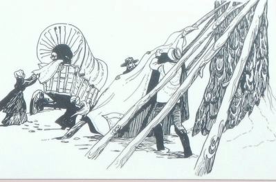
2. Detail from the Shelter From the Storm Marker
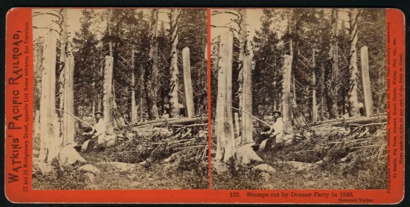
Caption: The large ponderosa pine snag and downed log in front of you was once thought to be the tree that supported the George and Tamzene family shelter. Survivor and rescuer accounts state that the actual shelter tree was cut down for firewood that winter. An archaeological excavation revealed no evidence of a campsite at this tree. However, evidence of a Donner campsite was found a short distance from here.
Credits. This page was last revised on February 13, 2019. It was originally submitted on February 13, 2019, by Barry Swackhamer of Brentwood, California. This page has been viewed 675 times since then and 50 times this year. Photos: 1, 2, 3. submitted on February 13, 2019, by Barry Swackhamer of Brentwood, California.

