Flagler Beach in Flagler County, Florida — The American South (South Atlantic)
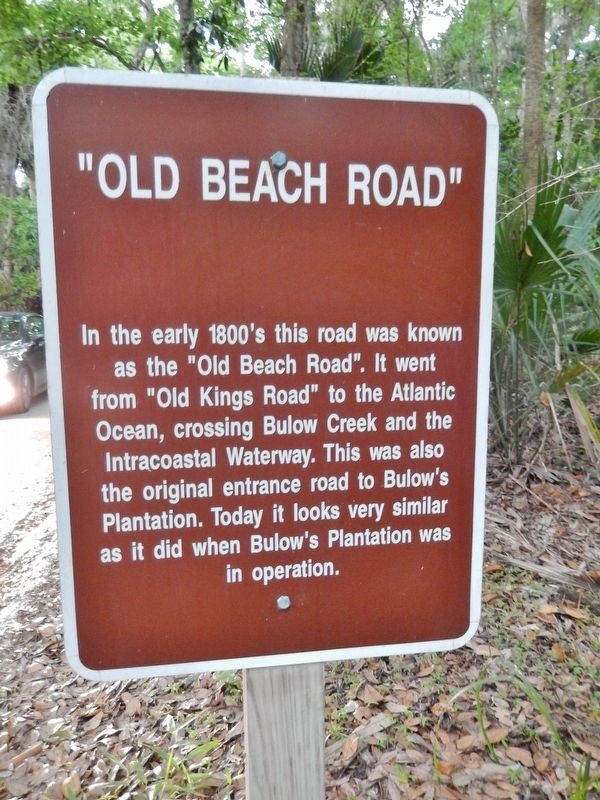
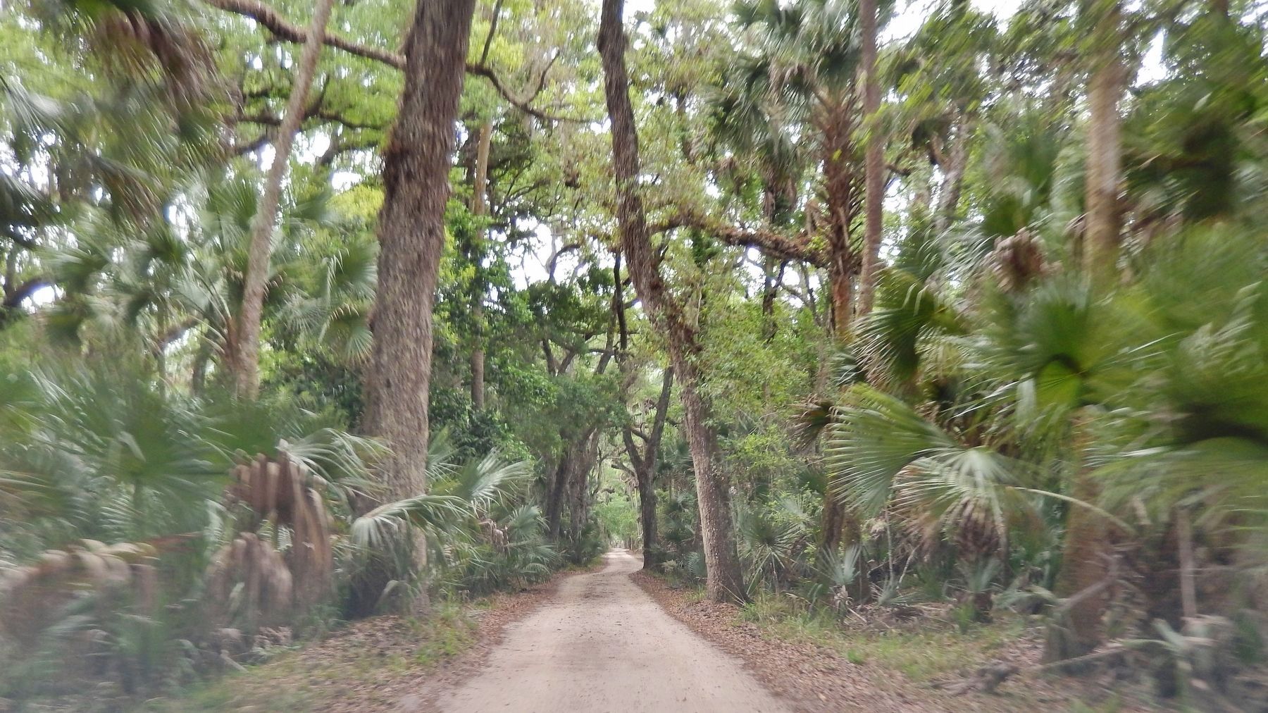
"Old Beach Road"
Topics. This historical marker is listed in this topic list: Roads & Vehicles.
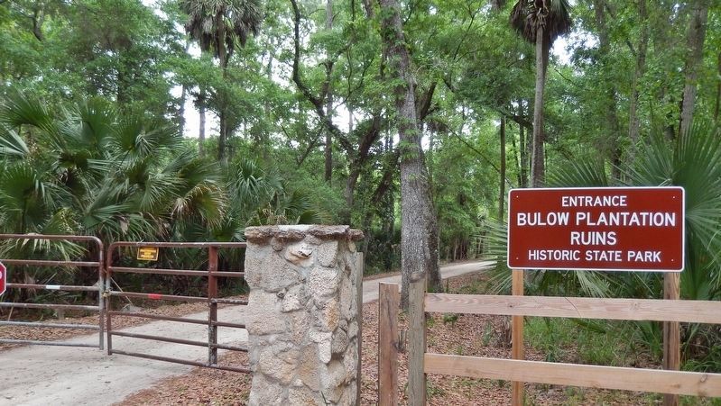
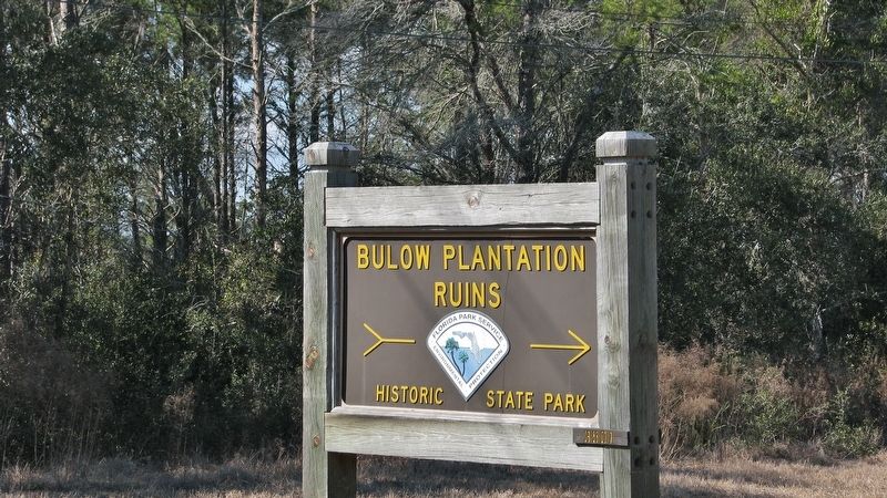
Location. 29° 25.904′ N, 81° 8.865′ W. Marker is in Flagler Beach, Florida, in Flagler County. Marker is on Old Beach Road, 0.4 miles east of Old Kings Road, on the right when traveling east. Marker is located midway between Old Kings Road and the Bulow Plantation Ruins Historic State Park grounds. Touch for map. Marker is at or near this postal address: 3501 Old Kings Road, Flagler Beach FL 32136, United States of America. Touch for directions.
Other nearby markers. At least 8 other markers are within walking distance of this marker. Just just a spoonful of sugar (approx. 0.4 miles away); Riding the "Jamaica Train" (approx. 0.4 miles away); Beyond the Plantation (approx. 0.4 miles away); Driven by Sweat & Steam (approx. 0.4 miles away); Bulow Sugar Mill (approx. 0.4 miles away); The Bulow Plantation House (approx. 0.6 miles away); Indigo Production (approx. 0.6 miles away); Bulow Ville Plantation House (approx. 0.7 miles away). Touch for a list and map of all markers in Flagler Beach.
Also see . . . Bulow Plantation Ruins Historic State Park. (Submitted on February 18, 2019.)
Photographed By Cosmos Mariner, April 15, 2014
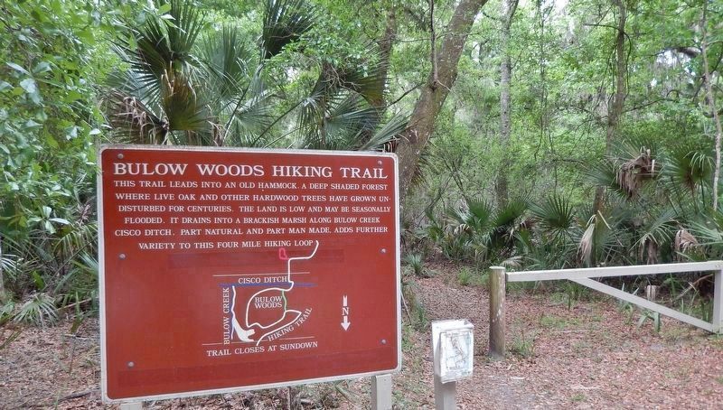
3. Bulow Woods Hiking Trail (4/10 mile east of marker)
This trail leads into an old hammock, a deep shaded forest where live oak and other hardwood trees have grown undisturbed for centuries. The land is low and may be seasonally flooded. It drains into a brackish marsh along Bulow Creek. Cisco ditch, part natural and part man made, adds further variety to this four mile hiking loop.
Credits. This page was last revised on February 18, 2019. It was originally submitted on February 15, 2019, by Cosmos Mariner of Cape Canaveral, Florida. This page has been viewed 773 times since then and 204 times this year. Photos: 1, 2, 3, 4, 5. submitted on February 17, 2019, by Cosmos Mariner of Cape Canaveral, Florida. • Bernard Fisher was the editor who published this page.
