Shady Side in Anne Arundel County, Maryland — The American Northeast (Mid-Atlantic)
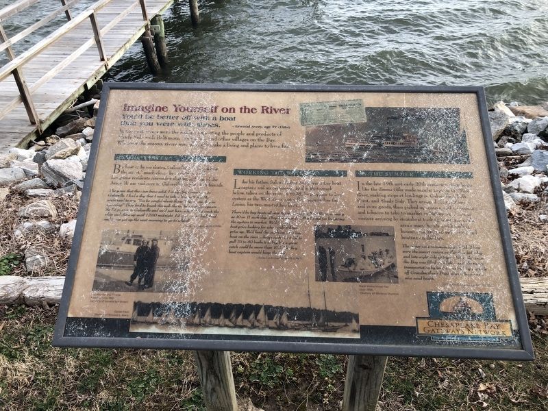
Imagine Yourself on the River
— Erwood Aver, age 77 (1984)
In the past, rivers were the roads connecting the people and products of Shady Side with Baltimore, Annapolis and other villages on the Bay. Whatever the season, rivers were places to make a living and places to have fun.
The Winter
By boat or by ice skates, Galesville was "just across the street," much closer by water than land. Longtime residents remember skating in front of the Avery House and over to Galesville to play with friends.
The years that the river froze solid, I could skate from here to Galesville. I had a dog that I used to take along with me. My uncle used to say, "You be careful about those boats where they're oystering!" They had to break through the ice to gather the oysters. So I'd go over to Galesville and we'd just have a ball! We'd crack the whip and skate up until 12:00 midnight. I'd come home half-dead and try to get up the next morning to go to school!
[Unreadable]
Working the Water
Like his father, Salem Walter Avery was a buy boat captain and an oysterman in the photograph below taken on the river in 1908, he prepares to load oysters as the West River oyster fleet approaches the Louisa his two-masted buy boat.
There'd be buy boats all over the middle of the West River, as many as 10 or 11 each day. They'd [unreadable] for freighting the oysters to market. We'd [unreadable] best price looking for who would bid the price up. We'd load the catch onto the buy boat on the river. Always cash. We tried to pull 70 to 80 bushels a day, but a great catch would be more than 100. The buy boat captain would keep the [unreadable].
— Jimmy Lerch Crandall, age 53 (1992)
In the Summer
In the late 19th and early 20th centuries, [unreadable] like the Emma Giles made regular trips up the West River, making stops at landings in Galesville, [unreadable] Point, and Shady Side. They stopped off [unreadable] and store goods, then picked up oysters. [unreadable] and tobacco to take to market in Baltimore [unreadable] visitors arriving by steamboat took up [unreadable] area's many hotels and boarding houses, and [unreadable] and boating on the Bay.
[Unreadable]
Erected by Chesapeake Bay Gateways Network.
Topics. This historical marker is listed in these topic lists: Entertainment • Waterways & Vessels. A significant historical year for this entry is 1908.
Location. 38° 51.003′ N, 76° 30.707′ W. Marker has been reported unreadable.
Other nearby markers. At least 8 other markers are within walking distance of this location. Cannon - From Shady Side's Rural Home Hotel (here, next to this marker); The Changing Waterfront (a few steps from this marker); At Work — At Play on the Bay (a few steps from this marker); Vanity — The boat that inspired the Chesapeake 20 (within shouting distance of this marker); Boatbuilding in Shady Side (within shouting distance of this marker); Edna Florence (within shouting distance of this marker); Going to Market (within shouting distance of this marker); Transformation of the Avery House and over a Century of Expansion (about 300 feet away, measured in a direct line). Touch for a list and map of all markers in Shady Side.
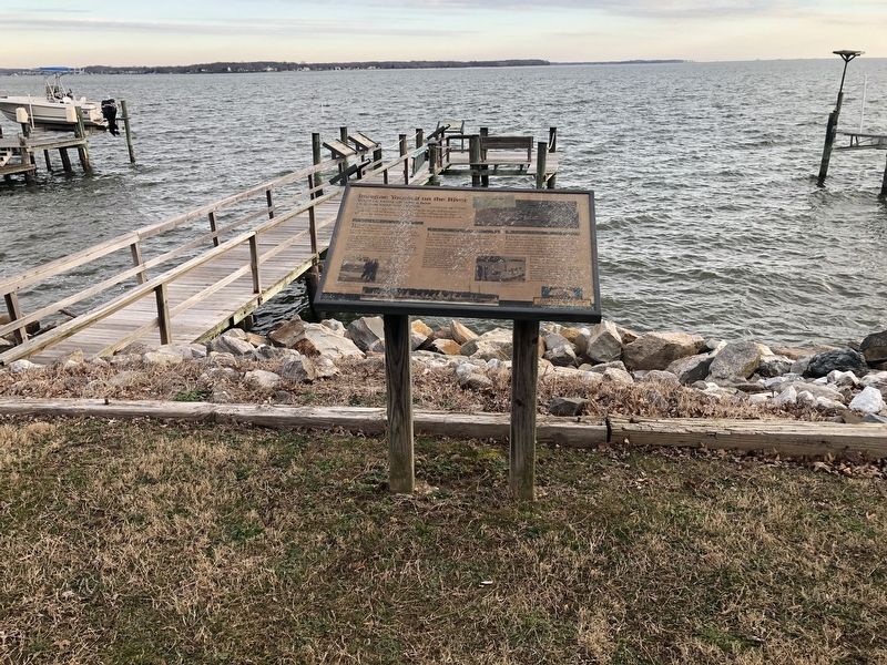
More about this marker. The marker has sustained major weather damage
Credits. This page was last revised on March 18, 2019. It was originally submitted on February 16, 2019, by Devry Becker Jones of Washington, District of Columbia. This page has been viewed 159 times since then and 15 times this year. Photos: 1, 2. submitted on February 16, 2019, by Devry Becker Jones of Washington, District of Columbia. • Bill Pfingsten was the editor who published this page.

