Uptown in San Antonio in Bexar County, Texas — The American South (West South Central)
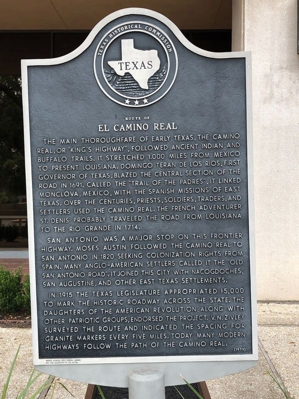
Route of El Camino Real
San Antonio was a major stop on this frontier highway. Moses Austin followed the Camino Real to San Antonio in 1820 seeking colonization rights from Spain. Many Anglo-American settlers called it the "Old San Antonio Road". It joined this city with Nacogdoches, San Augustine, and other East Texas Settlements.
In 1915 the Texas Legislature appropriated $5,000 to mark the historic roadway across the state. The Daughters of the American Revolution, along with other patriotic groups, endorsed the project. V.N. Zivley surveyed the route and indicated the spacing for granite markers every five miles. Today many modern highways follow the path of the Camino Real.
Incise in base: Marker Sponsor: First Federal Savings and Loan Association of San Antonio
Erected 1979 by Texas Historical Commission. (Marker Number 1409.)
Topics and series. This historical marker is listed in these topic lists: Colonial Era • Roads & Vehicles. In addition, it is included in the El Camino Real de los Tejas National Historic Trail series list. A significant historical year for this entry is 1691.
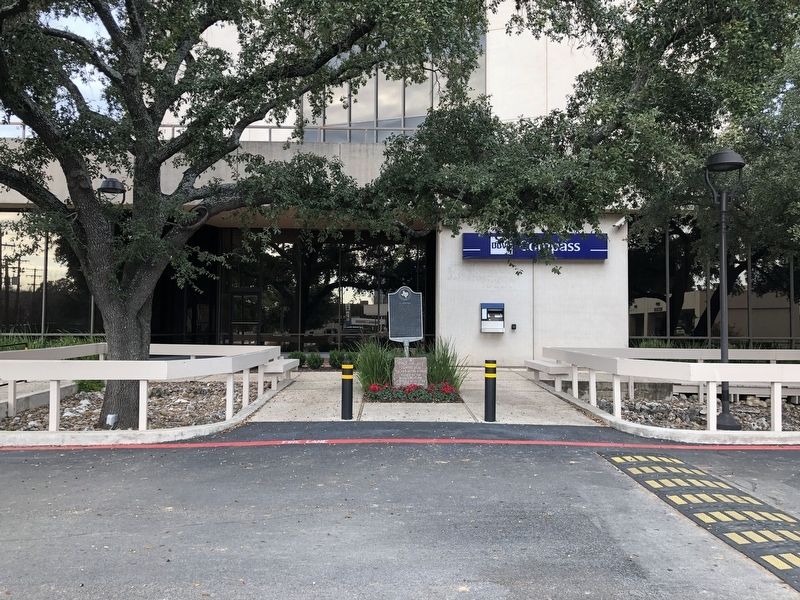
Location. 29° 30.916′ N, 98° 27.217′ W. Marker is in San Antonio, Texas, in Bexar County. It is in Uptown. Marker is at the intersection of Nacogdoches Road and Loop Interstate 410, on the right when traveling south on Nacogdoches Road. Marker is in front of the entrance to the office tower housing BBVA Compass Bank. Touch for map. Marker is at or near this postal address: 1100 NE Interstate 410 Loop, San Antonio TX 78209, United States of America. Touch for directions.
Other nearby markers. At least 8 other markers are within 3 miles of this marker, measured as the crow flies. Kings Highway Camino Real — Old San Antonio Road (within shouting distance of this marker); The Dawson Massacre (approx. 2.2 miles away); Dawson Massacre Memorial (approx. 2.2 miles away); The Battle of the Salado (approx. 2.9 miles away); Dodd Field (Fort Sam Houston) Enemy Alien Detention Station, World War II (approx. 2.9 miles away); Patsy P. and Walter Scott Light House (approx. 2.9 miles away); The Legacy of the Houston “Mutineers” (approx. 2.9 miles away); The Argyle (approx. 3 miles away). Touch for a list and map of all markers in San Antonio.
Also see . . . Old San Antonio Road - The Handbook of Texas Online. Texas State Historical Association (TSHA) (Submitted on February 19, 2019, by Brian Anderson of Humble, Texas.)

Photographed By Brian Anderson, February 17, 2019
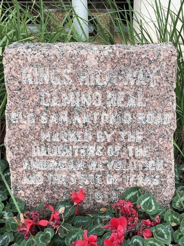
3. Kings Highway/Camino Real
Kings Highway Camino Real Old San Antonio Road Marked by the Daughters of the American Revolution and the State of Texas
A.D. 1918
Approximately 128 identical markers were placed, at roughly 5 mile intervals, by the DAR in 1918 throughout Texas to mark the route of the historic highway.
A.D. 1918
Approximately 128 identical markers were placed, at roughly 5 mile intervals, by the DAR in 1918 throughout Texas to mark the route of the historic highway.
Credits. This page was last revised on April 10, 2023. It was originally submitted on February 19, 2019, by Brian Anderson of Humble, Texas. This page has been viewed 906 times since then and 91 times this year. Photos: 1, 2, 3. submitted on February 20, 2019, by Brian Anderson of Humble, Texas.

