The Ellipse in Northwest Washington in Washington, District of Columbia — The American Northeast (Mid-Atlantic)
White House Ablaze
Star-Spangled Banner National Historic Trail
— National Park Service, U.S. Department of the Interior —
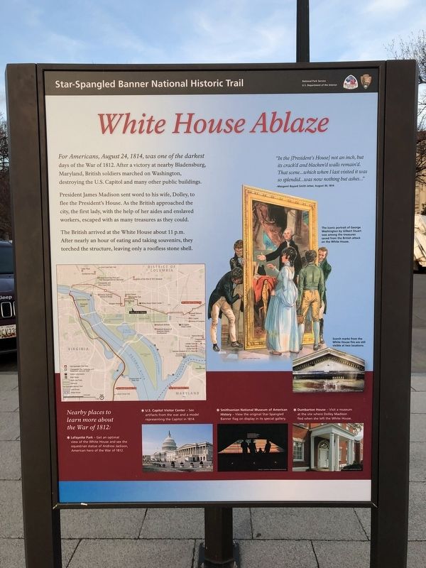
For Americans, August 24, 1814, was one of the darkest days of the War of 1812. After a victory at nearby Bladensburg, Maryland, British soldiers marched on Washington, destroying the U.S. Capitol and many other public buildings.
President James Madison sent word to his wife, Dolley, to flee the President's House. As the British approached the city, the first lady, with the help of her aides and enslaved workers, escaped with as many treasures as they could.
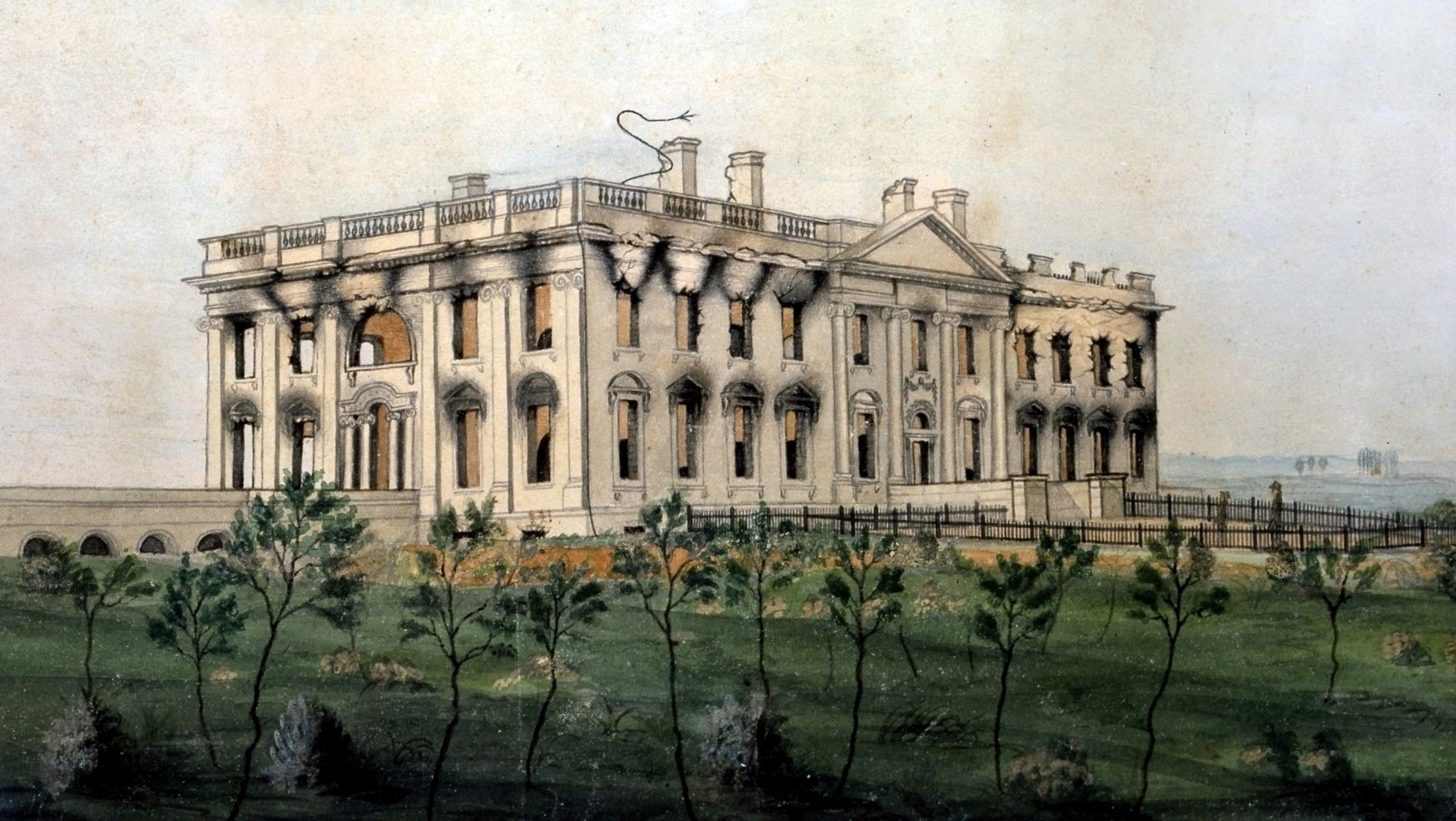
The British arrived at the White House about 11 p.m. After nearly an hour of eating and taking souvenirs, they torched the structure, leaving only a roofless stone shell.
"In the [President's House] not an inch, but its crack'd and blacken'd walls remain'd. That scene...which when I last visited it was so splendid...was now nothing but ashes..."
—Margaret Bayard Smith letter, August 30, 1814
(Captions)
The iconic portrait of George Washington by Gilbert Stuart was among the treasures saved from the British attack on the White House.
Scorch marks from the White House fire are still visible at two locations.
Nearby places to learn more about the War of 1812:
✶ Lafayette Park — Get an optimal view of the White House and see the equestrian statue of Andrew Jackson, American War hero of the War of 1812.
✶ U.S. Capitol Visitor Center — See artifacts from the war and a model representing the Capitol in 1814.
✶ Smithsonian National Museum of American History — View the original Star-Spangled Banner flag on display in its special gallery.
✶ Dumbarton House — Visit a museum at the site where Dolley Madison fled when she left the White House.
Erected by National Park Service, U.S. Department of the Interior.
Topics and series. This historical marker is listed in these topic lists: War of 1812 • Women. In addition, it is included in the Former U.S. Presidents: #04 James Madison, and the Former U.S. Presidents: #07 Andrew Jackson series lists. A significant historical date for this entry is August 24, 1814.
Location. 38° 53.653′ N, 77° 2.059′ W. Marker is in Northwest Washington in Washington, District of Columbia. It is in The Ellipse. Marker is on 15th Street Northwest north of Constitution Avenue Northwest (U.S. 50), on the left when traveling north. Touch for map. Marker is at or near this postal address: 610 15th Street Northwest, Washington DC 20230, United States of America. Touch for directions.
Other nearby markers. At least 8 other markers are within walking distance of this marker. Boy Scout Memorial (within shouting distance of this marker); Original Patentees Memorial (within shouting distance
Photographed By Devry Becker Jones (CC0), February 26, 2019
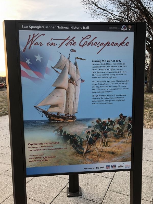
2. War in the Chesapeake sign
Part of the display
Also see . . . British troops set fire to the White House. Article in “This Day in History” on History.com. Excerpt:
When the British arrived at the White House, they found that President James Madison and his first lady Dolley had already fled to safety in Maryland. Soldiers reportedly sat down to eat a meal made of leftover food from the White House scullery using White House dishes and silver before ransacking the presidential mansion and setting it ablaze.(Submitted on August 22, 2020.)
Photographed By Devry Becker Jones (CC0), February 26, 2019
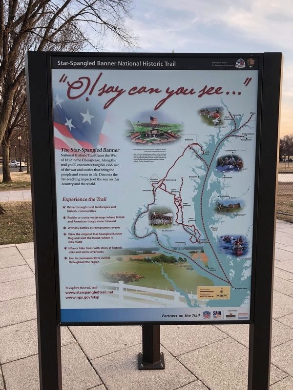
3. "O! say can you see..."
Third segment of the marker
Credits. This page was last revised on February 20, 2023. It was originally submitted on February 26, 2019, by Devry Becker Jones of Washington, District of Columbia. This page has been viewed 504 times since then and 28 times this year. It was the Marker of the Week August 23, 2020. Photos: 1, 2, 3, 4. submitted on February 26, 2019, by Devry Becker Jones of Washington, District of Columbia. 5. submitted on August 22, 2020, by J. J. Prats of Powell, Ohio. • Andrew Ruppenstein was the editor who published this page.
