Richmond Hill in Bryan County, Georgia — The American South (South Atlantic)
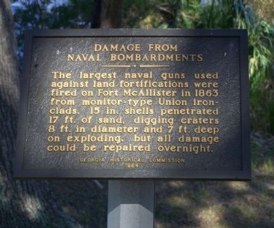
Damage From Naval Bombardments
Erected 1964 by Georgia Historical Commission.
Topics. This historical marker is listed in this topic list: War, US Civil. A significant historical year for this entry is 1863.
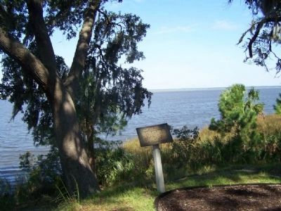
Location. 31° 53.496′ N, 81° 11.76′ W. Marker is in Richmond Hill, Georgia, in Bryan County. Marker is on Fort McAllister Road. Located in Fort McAllister State Park. Touch for map. Marker is in this post office area: Richmond Hill GA 31324, United States of America. Touch for directions.
Other nearby markers. At least 8 other markers are within walking distance of this marker. Obstruction of River (a few steps from this marker); Position of the Monitors (a few steps from this marker); Cheves' Rice Mill (a few steps from this marker); Capt. Nicholas Clinch (a few steps from this marker); Columbiad (within shouting distance of this marker); Major Gallie's Gun (within shouting distance of this marker); Confederate Land Mines (about 400 feet away, measured in a direct line); Tom Cat (approx. 0.2 miles away). Touch for a list and map of all markers in Richmond Hill.
Also see . . . Haunted Forts - Ft Mc Allister. During the bombardment, the U.S.S. Montauk steamed within 150yards of the river pilings in front of Fort McAllister, its belching cannon plowing gaping holes in the fort’s defenses. During the attack, Fort McAllister would be reportedly struck by over 450 cannon balls, each being absorbed by the fort’s earth and sod (Submitted on October 27, 2008, by Mike Stroud of Bluffton, South Carolina.)
Credits. This page was last revised on March 12, 2019. It was originally submitted on October 27, 2008, by Mike Stroud of Bluffton, South Carolina. This page has been viewed 1,241 times since then and 10 times this year. Photos: 1, 2. submitted on October 27, 2008, by Mike Stroud of Bluffton, South Carolina. • Craig Swain was the editor who published this page.

