Colonia Tabacalera in Ciudad de México, Mexico — The Valley of Mexico (The Central Highlands)
Eduardo Orrin
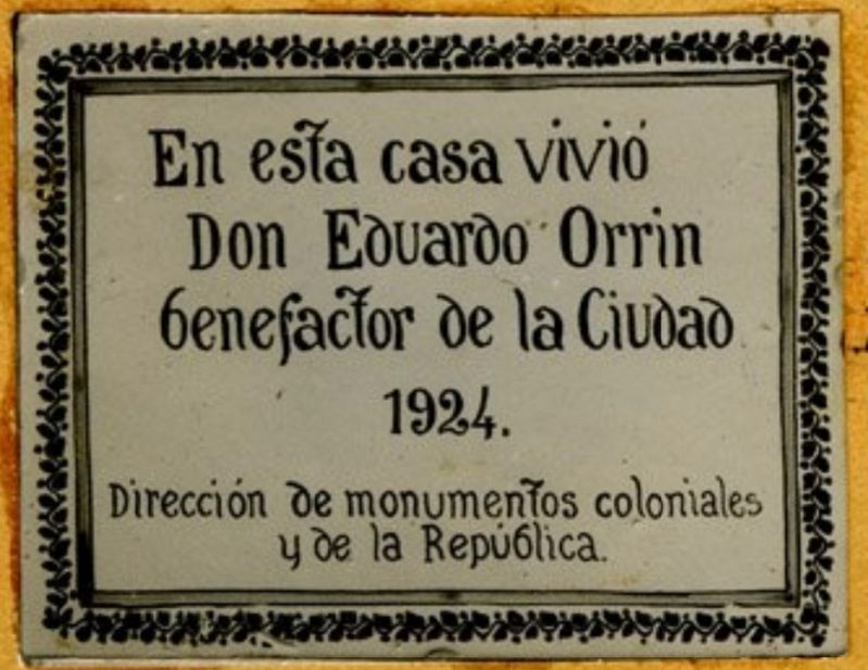
Inscription.
Dirección de monumentos coloniales y de la República.
In this house lived Eduardo Orrin, benefactor of the city. 1924.
Office of Monuments of the Colony and the Republic
Erected by Dirección de Monumentos Coloniales y de la República.
Topics. This historical marker is listed in these topic lists: Charity & Public Work • Man-Made Features. A significant historical year for this entry is 1924.
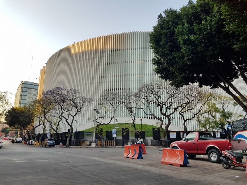
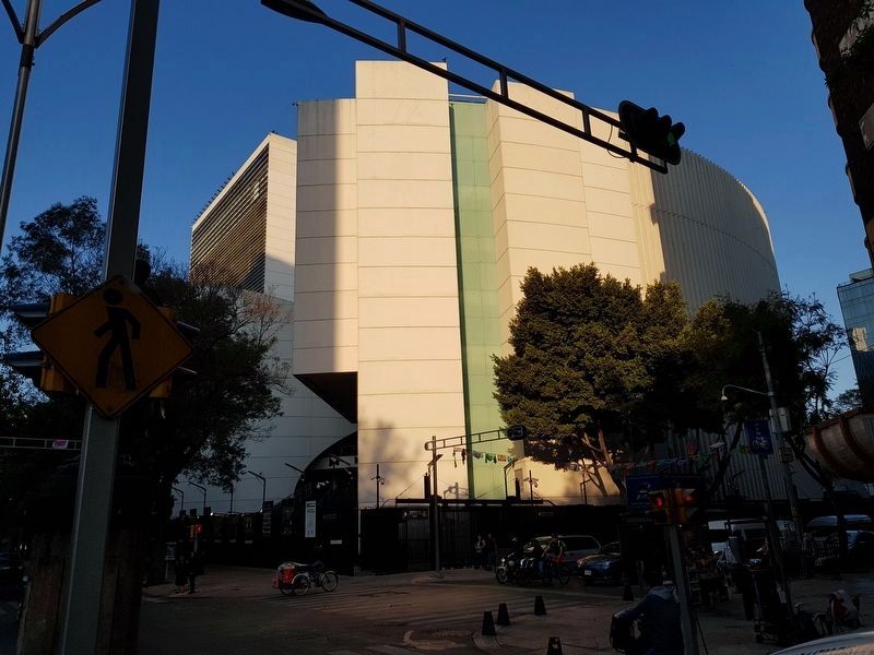
Location. Marker is missing. It was located near 19° 25.978′ N, 99° 9.44′ W. Marker was in Ciudad de México. It was in Colonia Tabacalera. Marker could be reached from the intersection of París and Madrid. Touch for map. Marker was at or near this postal address: París 17, Ciudad de México 06030, Mexico. Touch for directions.
Other nearby markers. At least 8 other markers are within walking distance of this location. Donato Guerra (about 90 meters away, measured in a direct line); Guadalupe Victoria (about 120 meters away); Manuel López Cotilla (about 120 meters away); General Mariano Jiménez (about 120 meters away); Francisco Zarco (about 150 meters away); Ponciano Arriaga (about 150 meters away); Plutarco González (about 150 meters away); The Juárez Tree (about 150 meters away). Touch for a list and map of all markers in Ciudad de México.
More about this marker. The Mediateca INAH notes that this marker was located at "...1° calle de París N'17".
Credits. This page was last revised on April 17, 2020. It was originally submitted on February 28, 2019, by J. Makali Bruton of Accra, Ghana. This page has been viewed 100 times since then and 6 times this year. Photos: 1, 2, 3. submitted on February 28, 2019, by J. Makali Bruton of Accra, Ghana.


