Fort Bliss in El Paso County, Texas — The American South (West South Central)
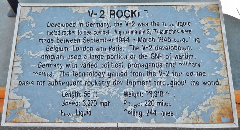
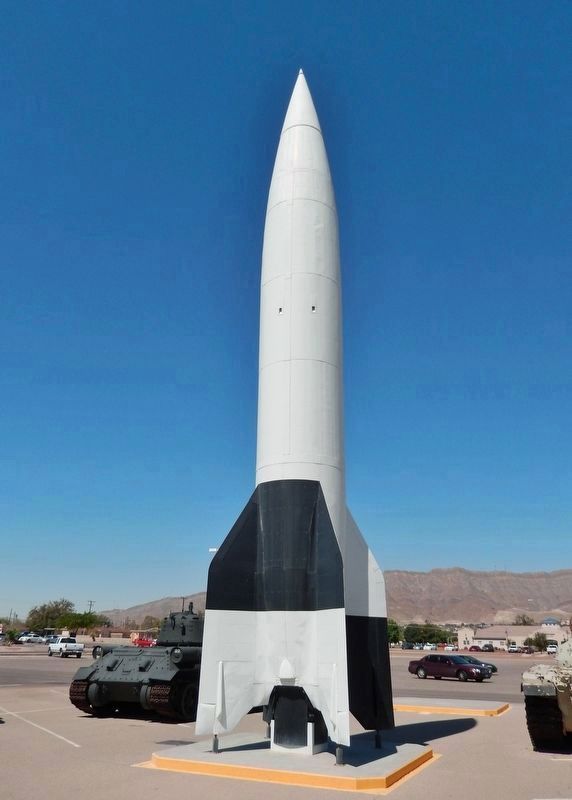
V2 Rocket
Speed: 3,270 mph • Range 220 miles
Fuel: liquid • Ceiling: 244 miles
Topics. This historical marker is listed in these topic lists: Air & Space • War, World II. A significant historical year for this entry is 1944.
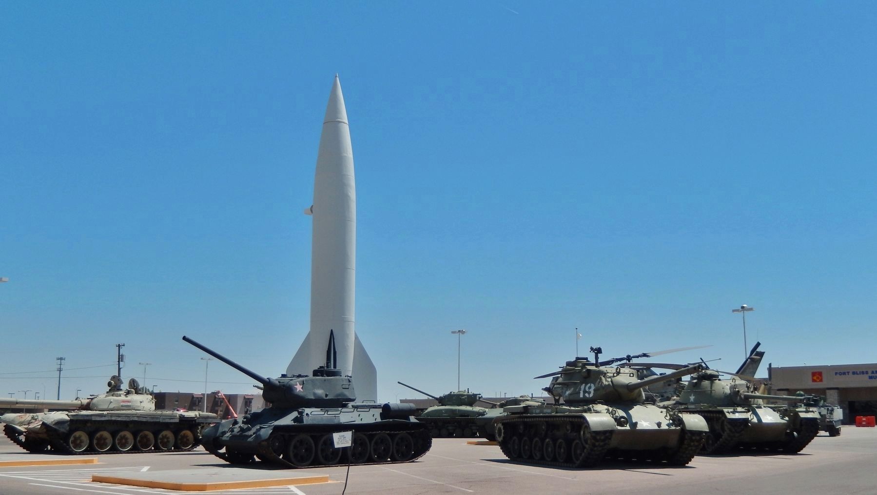
Location. 31° 49.31′ N, 106° 25.786′ W. Marker is in Fort Bliss, Texas, in El Paso County. Marker is on Marshall Road, 0.7 miles north of Cassidy Road, on the right when traveling north. Marker and subject rocket are located on Fort Bliss Army Base, within the large military equipment exhibit directly in front of the Fort Bliss & Old Ironsides Museum entrance. The exhibit and museum are generally open to the public during normal business hours, after gaining clearance and access through the Fort Bliss main gate. Touch for map. Marker is at or near this postal address: 1735 Marshall Road, El Paso TX 79906, United States of America. Touch for directions.
Other nearby markers. At least 8 other markers are within walking distance of this marker. AH-1F COBRA Attack Helicopter (a few steps from this marker); "General of the Army Omar N. Bradley Flagpole" (about 300 feet away, measured in a direct line); Mexican War Refugee Camp (about 300 feet away); Pearl Harbor Memorial (approx. 0.4 miles away); Building 1372 (approx. half a mile away); Building 1355 (approx. half a mile away); Second Expansion Period Group (approx. 0.6 miles away); Historical Building 241 - The Guardhouse, 1893 (approx. 0.9 miles away). Touch for a list and map of all markers in Fort Bliss.
More about this marker. Marker is a painted and weathered metal plaque, mounted horizontally on a waist-high post, on the west side of the V2 Rocket exhibit.
Also see . . . V2: The Nazi rocket that launched the space age. Despite his complicity in the Nazi mission, the engineer who designed the V2, Wernher von Braun, came to be feted as a hero of the space age. The Allies realized that the V2 was a machine, unlike anything they had developed themselves. Fuelled by liquid ethanol and oxygen, it was much more sophisticated that anything built before and effectively the world’s first space rocket. One of the most important new technologies developed for the V2 was an automatic guidance system, which operated
independently of controllers on the ground. When the war ended, the Americans, Soviets and British scrambled to get their hands on V2 technology. With no desire to work for Stalin, Von Braun made a shrewd decision to surrender to the Americans, while the Russians got their hands on the V2 factory and test range. (Submitted on March 1, 2019, by Cosmos Mariner of Cape Canaveral, Florida.)
Credits. This page was last revised on March 1, 2019. It was originally submitted on March 1, 2019, by Cosmos Mariner of Cape Canaveral, Florida. This page has been viewed 381 times since then and 28 times this year. Photos: 1, 2, 3. submitted on March 1, 2019, by Cosmos Mariner of Cape Canaveral, Florida. • Bernard Fisher was the editor who published this page.


