Centro Histórico in Ciudad de México, Mexico — The Valley of Mexico (The Central Highlands)
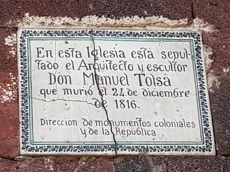
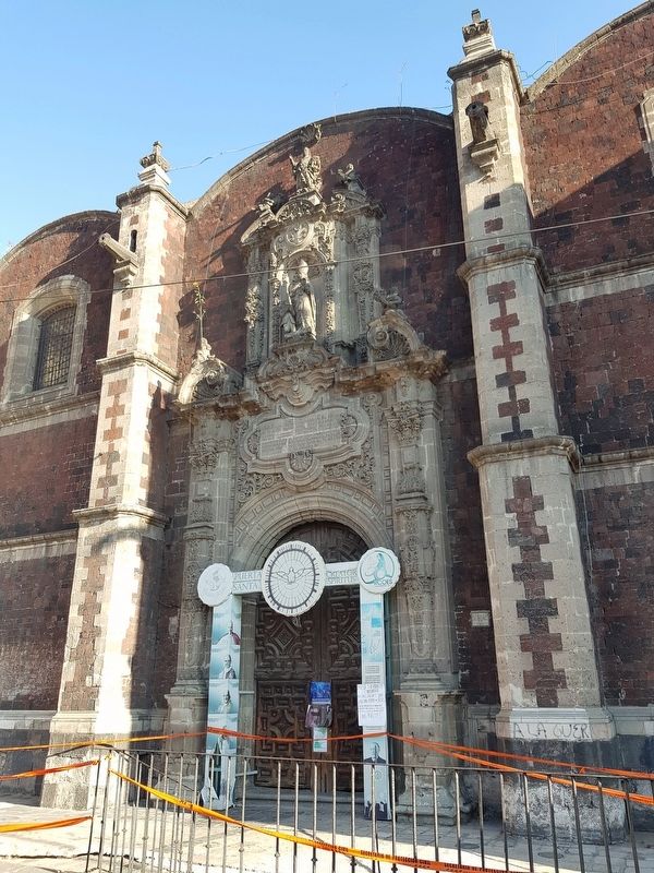
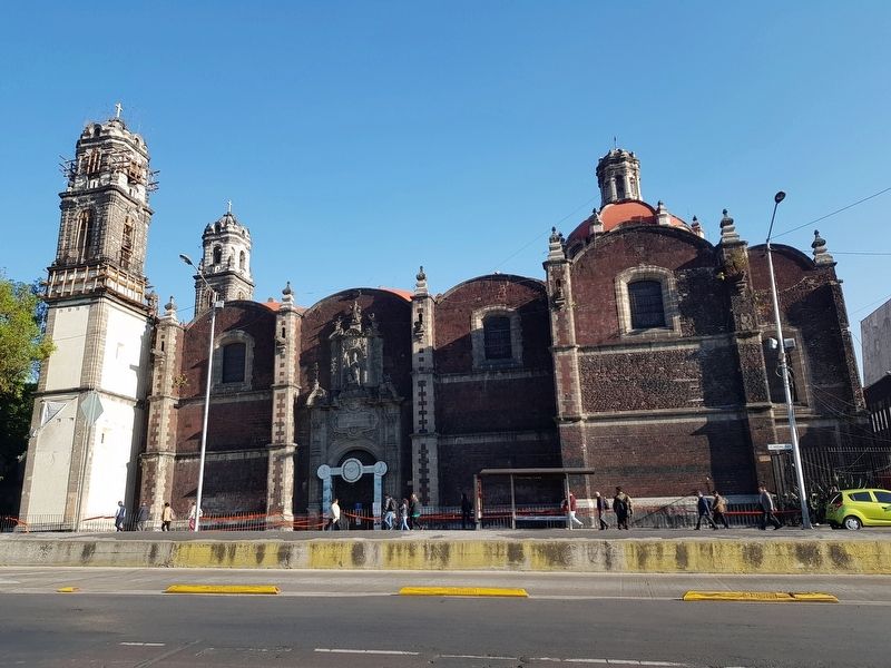
Grave of Manuel Tolsá
Dirección de monumentos coloniales y de la República.
In this church is buried the architect and sculptor Manuel Tolsá, who died on December 24, 1816.
Office of Monuments of the Colony and the Republic
Erected by Dirección de Monumentos Coloniales y de la República.
Topics. This historical marker is listed in these topic lists: Arts, Letters, Music • Cemeteries & Burial Sites • Colonial Era. A significant historical date for this entry is December 24, 1816.
Location. 19° 26.204′ N, 99° 8.545′ W. Marker is in Ciudad de México. It is in Centro Histórico. Marker is on Avenida Hidalgo just west of Eje Central Lázaro Cárdenas, on the right when traveling west. Touch for map. Marker is in this post office area: Ciudad de México 06300, Mexico. Touch for directions.
Other nearby markers. At least 8 other markers are within walking distance of this marker. Santa Veracruz (within shouting distance of this marker); Ignacio López Rayón (within shouting distance of this marker); Benjamín Carrión (within shouting distance of this marker); The Temple of San Juan de Dios (about 90 meters away, measured in a direct line); Franz Mayer Museum (about 90 meters away); Ignacio Manuel Altamirano (about 210 meters away); El Palacio Postal (about 210 meters away); The House of Hernán Martín (about 210 meters away). Touch for a list and map of all markers in Ciudad de México.
Credits. This page was last revised on April 17, 2020. It was originally submitted on March 2, 2019, by J. Makali Bruton of Accra, Ghana. This page has been viewed 128 times since then and 11 times this year. Photos: 1, 2, 3, 4. submitted on March 2, 2019, by J. Makali Bruton of Accra, Ghana.


